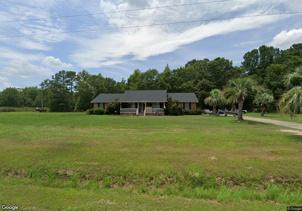
1640 Anderson Farm Rd Darlington, SC 29532
Estimated Value: $179,000 - $255,000
4
Beds
3
Baths
2,110
Sq Ft
$108/Sq Ft
Est. Value
About This Home
This home is located at 1640 Anderson Farm Rd, Darlington, SC 29532 and is currently estimated at $227,864, approximately $107 per square foot. 1640 Anderson Farm Rd is a home located in Darlington County with nearby schools including Pate Elementary School, Brockington Elementary Magnet School, and Darlington Middle School.
Ownership History
Date
Name
Owned For
Owner Type
Purchase Details
Closed on
Jun 4, 2015
Sold by
Estate Of Jack O Hodge Jr and Hodge Joyce T
Bought by
Hopkins Megan
Current Estimated Value
Purchase Details
Closed on
Aug 25, 2010
Sold by
Fad Properties Llc
Bought by
Hodge Jack O
Home Financials for this Owner
Home Financials are based on the most recent Mortgage that was taken out on this home.
Original Mortgage
$144,060
Interest Rate
4.83%
Mortgage Type
FHA
Purchase Details
Closed on
Mar 19, 2010
Sold by
Edwards Lutricia
Bought by
Fad Properties Llc
Create a Home Valuation Report for This Property
The Home Valuation Report is an in-depth analysis detailing your home's value as well as a comparison with similar homes in the area
Home Values in the Area
Average Home Value in this Area
Purchase History
| Date | Buyer | Sale Price | Title Company |
|---|---|---|---|
| Hopkins Megan | $150,000 | -- | |
| Hodge Jack O | $146,000 | -- | |
| Fad Properties Llc | $66,000 | -- |
Source: Public Records
Mortgage History
| Date | Status | Borrower | Loan Amount |
|---|---|---|---|
| Previous Owner | Hodge Jack O | $144,060 |
Source: Public Records
Tax History Compared to Growth
Tax History
| Year | Tax Paid | Tax Assessment Tax Assessment Total Assessment is a certain percentage of the fair market value that is determined by local assessors to be the total taxable value of land and additions on the property. | Land | Improvement |
|---|---|---|---|---|
| 2024 | $630 | $6,860 | $800 | $6,060 |
| 2023 | $1,578 | $6,310 | $800 | $5,510 |
| 2022 | $1,578 | $6,310 | $800 | $5,510 |
| 2021 | $1,578 | $6,310 | $800 | $5,510 |
| 2020 | $561 | $6,310 | $800 | $5,510 |
| 2019 | $562 | $6,310 | $800 | $5,510 |
| 2018 | $530 | $6,000 | $800 | $5,200 |
| 2017 | $488 | $6,000 | $800 | $5,200 |
| 2016 | $429 | $6,000 | $800 | $5,200 |
| 2014 | $660 | $5,840 | $800 | $5,040 |
| 2013 | $1,978 | $5,840 | $800 | $5,040 |
Source: Public Records
Map
Nearby Homes
- 1905 High Cotton St
- 2161 Bonnie Dr
- 1557 Timmonsville Hwy
- 1613 Timmonsville Hwy
- 4.68 Acres Old Millpond Rd & Hwy 52 Bypass
- TBD Farm St
- TBD Chestnut St
- TBD Harry Byrd Hwy
- 1706 S Main St
- 1840 S Main St
- 123 Timberlake Dr
- 6 Acres S Governor Williams Hwy
- 3538 Cherrywood Rd
- Lot 14 Wildshall Rd
- S Governor Williams Hwy
- 278 Timberlake Dr
- 102 Holloway Dr
- 411 Joe Louis Blvd
- 1111 Syracuse St
- 109 Reid St
- 1680 Anderson Farm Rd
- 1690 Anderson Farm Rd
- 1708 Anderson Farm Rd
- 813 Rogers Rd
- 741 Rogers Rd
- 1718 Anderson Farm Rd
- 721 Rogers Rd
- 841 Rogers Rd
- 707 Rogers Rd
- 869 Rogers Rd
- 715 Sunflower Ct
- 1827 High Cotton St
- 1771 High Cotton St
- 705 Sunflower Ct
- 1781 High Cotton St
- 1826 High Cotton St
- 725 Sunflower Ct
- 1751 High Cotton St
- 1809 Hayfield Rd
- 901 Rogers Rd