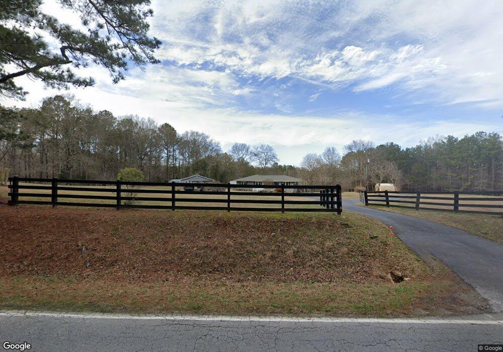
1640 Locust Grove Rd Locust Grove, GA 30248
Spalding County NeighborhoodEstimated Value: $239,387 - $322,000
3
Beds
1
Bath
1,245
Sq Ft
$226/Sq Ft
Est. Value
About This Home
This home is located at 1640 Locust Grove Rd, Locust Grove, GA 30248 and is currently estimated at $281,597, approximately $226 per square foot. 1640 Locust Grove Rd is a home located in Spalding County with nearby schools including Jordan Hill Road Elementary School, Kennedy Road Middle School, and Spalding High School.
Ownership History
Date
Name
Owned For
Owner Type
Purchase Details
Closed on
May 18, 2014
Sold by
Butterworth Carissa Carol
Bought by
Watson Dennis A and Watson Barbara J
Current Estimated Value
Purchase Details
Closed on
Jul 30, 1998
Sold by
Butterworth Carissa C
Bought by
Watson Dennis A and Watson Barbara J
Home Financials for this Owner
Home Financials are based on the most recent Mortgage that was taken out on this home.
Original Mortgage
$65,200
Interest Rate
6.91%
Mortgage Type
New Conventional
Purchase Details
Closed on
Mar 1, 1992
Sold by
Butterwowrth Joseph D
Bought by
Butterworth Jefferson James
Purchase Details
Closed on
Dec 6, 1986
Sold by
Butterworth Grace
Bought by
Butterworth Joseph D
Purchase Details
Closed on
Sep 18, 1986
Sold by
Butterworth J L
Bought by
Butterworth Grace
Purchase Details
Closed on
Aug 29, 1963
Bought by
Butterworth J L
Create a Home Valuation Report for This Property
The Home Valuation Report is an in-depth analysis detailing your home's value as well as a comparison with similar homes in the area
Home Values in the Area
Average Home Value in this Area
Purchase History
| Date | Buyer | Sale Price | Title Company |
|---|---|---|---|
| Watson Dennis A | -- | -- | |
| Watson Dennis A | $85,000 | -- | |
| Butterworth Jefferson James | $31,300 | -- | |
| Butterworth Joseph D | $45,000 | -- | |
| Butterworth Grace | -- | -- | |
| Butterworth J L | -- | -- |
Source: Public Records
Mortgage History
| Date | Status | Borrower | Loan Amount |
|---|---|---|---|
| Previous Owner | Watson Dennis A | $65,200 |
Source: Public Records
Tax History Compared to Growth
Tax History
| Year | Tax Paid | Tax Assessment Tax Assessment Total Assessment is a certain percentage of the fair market value that is determined by local assessors to be the total taxable value of land and additions on the property. | Land | Improvement |
|---|---|---|---|---|
| 2024 | $1,468 | $74,866 | $29,385 | $45,481 |
| 2023 | $1,503 | $74,866 | $29,385 | $45,481 |
| 2022 | $1,440 | $66,906 | $22,604 | $44,302 |
| 2021 | $1,367 | $61,117 | $22,604 | $38,513 |
| 2020 | $1,405 | $57,612 | $22,604 | $35,008 |
| 2019 | $1,432 | $57,612 | $22,604 | $35,008 |
| 2018 | $1,215 | $45,576 | $22,604 | $22,972 |
| 2017 | $1,177 | $45,576 | $22,604 | $22,972 |
| 2016 | $1,382 | $45,576 | $22,604 | $22,972 |
| 2015 | $1,426 | $45,576 | $22,604 | $22,972 |
| 2014 | $1,447 | $45,432 | $22,460 | $22,972 |
Source: Public Records
Map
Nearby Homes
- 0 Chuli Rd Unit 10629381
- 2103 River Walk Ct
- 42 Collins Rd
- 355 Chuli Rd
- 1887 Locust Grove Rd
- 1930 Locust Grove Rd
- 230 Vaughn Cir
- 234 Vaughn Cir
- 486 Hickory Cir
- 2736 Lester Mill Rd
- 172 Sam Solomon Rd
- 130 Mcintosh Trail
- 2539 Locust Grove Rd
- 2269 N Walkers Mill Rd
- Summit Plan at Evergreen Crossing
- Marlene Plan at Evergreen Crossing
- Fleetwood Plan at Evergreen Crossing
- Packard Plan at Evergreen Crossing
- Savannah Plan at Evergreen Crossing
- 279 Jenkinsburg Rd
- 0 Chuli Rd
- 0 Chuli Rd Unit 3205583
- 0 Chuli Rd Unit 7045557
- 0 Chuli Rd Unit 9000679
- 0 Chuli Rd Unit 9030234
- 0 Chuli Rd Unit 9043124
- 0 Chuli Rd Unit 8737063
- 0 Chuli Rd Unit 8081006
- 0 Chuli Rd Unit 8887520
- 0 Chuli Rd Unit 8821337
- 0 Chuli Rd Unit 7000307
- 0 Chuli Rd Unit 7271454
- 0 Chuli Rd Unit 7334310
- 0 Chuli Rd Unit 7353597
- 0 Chuli Rd Unit 8027022
- 0 Chuli Rd Unit 8348535
- 0 Chuli Rd Unit 8605342
- 0 Chuli Rd Unit 8604933
- 1567 Locust Grove Rd
- 1567 1567 Locust Grove Rd