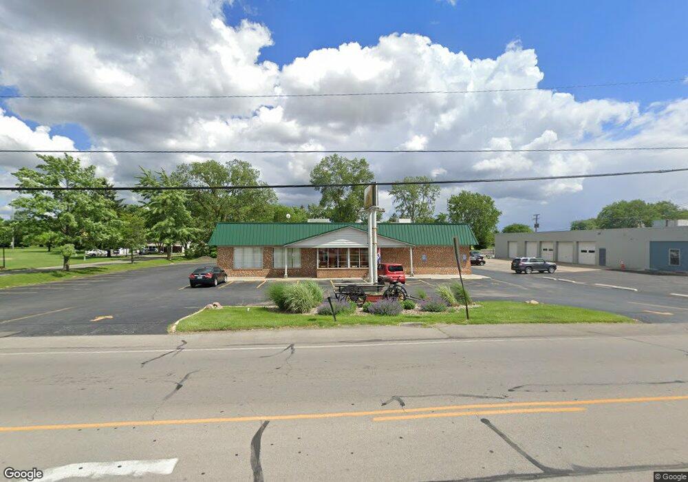
1640 Marion Rd Bucyrus, OH 44820
--
Bed
--
Bath
3,375
Sq Ft
0.69
Acres
About This Home
This home is located at 1640 Marion Rd, Bucyrus, OH 44820. 1640 Marion Rd is a home located in Crawford County with nearby schools including Wynford Elementary School, Wynford High School, and CENTER FOR AUTISM / DYSLEXIA - BUCYRUS.
Ownership History
Date
Name
Owned For
Owner Type
Purchase Details
Closed on
Dec 23, 2021
Sold by
Robinett Michael D and Robinett Monica J
Bought by
Stamper Real Estate Llc
Home Financials for this Owner
Home Financials are based on the most recent Mortgage that was taken out on this home.
Original Mortgage
$148,800
Outstanding Balance
$139,598
Interest Rate
4.75%
Mortgage Type
Adjustable Rate Mortgage/ARM
Purchase Details
Closed on
Mar 26, 2012
Sold by
Oberlander Roger E and Campbell Jeff
Bought by
Roblnett Michael D
Purchase Details
Closed on
Aug 8, 2002
Bought by
Oberlander Roger E
Create a Home Valuation Report for This Property
The Home Valuation Report is an in-depth analysis detailing your home's value as well as a comparison with similar homes in the area
Home Values in the Area
Average Home Value in this Area
Purchase History
| Date | Buyer | Sale Price | Title Company |
|---|---|---|---|
| Stamper Real Estate Llc | $61,000 | Old Crawford Land Title | |
| Roblnett Michael D | $170,000 | None Available | |
| Oberlander Roger E | $130,000 | -- |
Source: Public Records
Mortgage History
| Date | Status | Borrower | Loan Amount |
|---|---|---|---|
| Open | Stamper Real Estate Llc | $148,800 |
Source: Public Records
Tax History Compared to Growth
Tax History
| Year | Tax Paid | Tax Assessment Tax Assessment Total Assessment is a certain percentage of the fair market value that is determined by local assessors to be the total taxable value of land and additions on the property. | Land | Improvement |
|---|---|---|---|---|
| 2024 | $3,014 | $60,570 | $6,630 | $53,940 |
| 2023 | $3,014 | $53,410 | $6,030 | $47,380 |
| 2022 | $2,964 | $53,410 | $6,030 | $47,380 |
| 2021 | $3,044 | $53,410 | $6,030 | $47,380 |
| 2020 | $2,874 | $53,410 | $6,030 | $47,380 |
| 2019 | $3,069 | $53,410 | $6,030 | $47,380 |
| 2018 | $3,149 | $53,410 | $6,030 | $47,380 |
| 2017 | $3,702 | $61,000 | $5,730 | $55,270 |
| 2016 | $3,276 | $61,000 | $5,730 | $55,270 |
| 2015 | $3,314 | $61,000 | $5,730 | $55,270 |
| 2014 | $3,304 | $61,000 | $5,730 | $55,270 |
| 2013 | $3,304 | $61,000 | $5,730 | $55,270 |
Source: Public Records
Map
Nearby Homes
- 1555 Rosedale Ave
- 1315 Lynne Ave
- 452 Pleasant Ln
- 0 Lynne Ave
- 1145 Lynne Ave
- 1123 Hillcrest Dr
- 1149 Farmview Dr
- 1112 Hillcrest Dr
- 1211 S Sandusky Ave
- 1021 S Sandusky Ave
- 900 S Spring St
- 2440 Wyandot Rd
- 130 Brentwood St
- 275 Brentwood St
- 318 Charlotte St
- 708 S Sandusky Ave
- 325 W Liberty St
- 419 Short St
- 583 Rogers St
- 550 S Walnut St
- 1625 Marion Rd
- 1635 Marion Rd
- 1611 Marion Rd
- 1605 Marion Rd
- 837 W Beal Ave
- 951 W Beal Ave
- 1616 Marion Rd
- 1690 Marion Rd
- 1555 Marion Rd
- 953 W Beal Ave
- 1665 Marion Rd
- 1557 Linwood Dr
- 1549 Fairview Ave
- 450 Heritage Cir Unit H30
- 1544 Linwood Dr
- 448 Heritage Cir Unit H29
- 955 W Beal Ave
- 470 Heritage Cir Unit H37
- 468 Heritage Cir Unit H40
- 1544 Fairview Ave