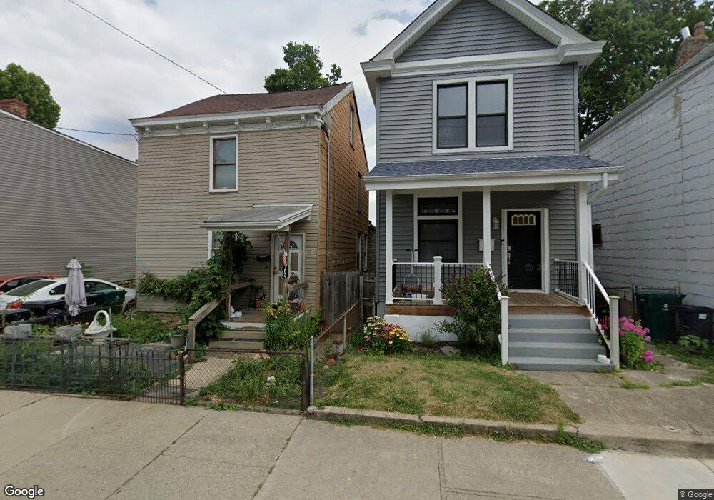
1640 Powers St Cincinnati, OH 45223
Northside NeighborhoodEstimated Value: $179,062 - $234,000
3
Beds
2
Baths
1,456
Sq Ft
$150/Sq Ft
Est. Value
About This Home
This home is located at 1640 Powers St, Cincinnati, OH 45223 and is currently estimated at $217,766, approximately $149 per square foot. 1640 Powers St is a home located in Hamilton County with nearby schools including Chase Elementary School, Robert A. Taft Information Technology High School, and Western Hills High School.
Ownership History
Date
Name
Owned For
Owner Type
Purchase Details
Closed on
Jun 25, 2010
Sold by
Thompson Kathleen and Thompson John Richard
Bought by
Phillips Art
Current Estimated Value
Purchase Details
Closed on
Sep 24, 2007
Sold by
Wells Fargo Bank Na
Bought by
Thompson Kathleen
Purchase Details
Closed on
May 11, 2007
Sold by
Mulder Lillian
Bought by
Wells Fargo Bank Na and Registered Holders Of Structured Asset S
Purchase Details
Closed on
Oct 14, 1994
Sold by
Brown Geneva R and Brown Floyd
Bought by
Mulder Lillian
Home Financials for this Owner
Home Financials are based on the most recent Mortgage that was taken out on this home.
Original Mortgage
$30,900
Interest Rate
8.53%
Mortgage Type
FHA
Create a Home Valuation Report for This Property
The Home Valuation Report is an in-depth analysis detailing your home's value as well as a comparison with similar homes in the area
Home Values in the Area
Average Home Value in this Area
Purchase History
| Date | Buyer | Sale Price | Title Company |
|---|---|---|---|
| Phillips Art | $6,000 | None Available | |
| Thompson Kathleen | $7,000 | Us Land Title Llc | |
| Wells Fargo Bank Na | $20,000 | None Available | |
| Mulder Lillian | -- | -- |
Source: Public Records
Mortgage History
| Date | Status | Borrower | Loan Amount |
|---|---|---|---|
| Previous Owner | Mulder Lillian | $30,900 |
Source: Public Records
Tax History
| Year | Tax Paid | Tax Assessment Tax Assessment Total Assessment is a certain percentage of the fair market value that is determined by local assessors to be the total taxable value of land and additions on the property. | Land | Improvement |
|---|---|---|---|---|
| 2025 | $2,372 | $37,363 | $10,581 | $26,782 |
| 2023 | $2,373 | $37,363 | $10,581 | $26,782 |
| 2022 | $1,351 | $19,093 | $5,474 | $13,619 |
| 2021 | $1,326 | $19,093 | $5,474 | $13,619 |
| 2020 | $1,330 | $19,093 | $5,474 | $13,619 |
| 2019 | $1,229 | $16,044 | $4,599 | $11,445 |
| 2018 | $1,230 | $16,044 | $4,599 | $11,445 |
| 2017 | $1,184 | $16,044 | $4,599 | $11,445 |
| 2016 | $342 | $4,488 | $4,015 | $473 |
| 2015 | $306 | $4,488 | $4,015 | $473 |
| 2014 | $308 | $4,488 | $4,015 | $473 |
| 2013 | $296 | $4,232 | $3,787 | $445 |
Source: Public Records
Map
Nearby Homes
- 3910 Cherry St
- 1619 Powers St
- 1616 Elmore St
- 4034 Colerain Ave
- 1771 Townsend St
- 1785 Townsend St
- 3813 Borden St
- 3836 Llewellyn Ave
- 4135 Lakeman St
- 1817 Elmore St
- 1615 Chase Ave
- 1743 Hanfield St
- 4153 Langland St
- 4114 Gordon St
- 4210 Turrill St
- 1763 Hanfield St
- 4215 Turrill St
- 968 Ludlow Ave
- 1930 Powers St
- 4208 Brookside Ave
- 1642 Powers St
- 1644 Powers St
- 1636 Powers St
- 3908 Cherry St
- 1634 Powers St
- 3911 Turrill St
- 1630 Powers St
- 1641 Powers St
- 1643 Powers St
- 1639 Powers St
- 3907 Cherry St
- 1653 Cooper St
- 1637 Powers St
- 1657 Cooper St
- 1647 Cooper St
- 1655 Cooper St
- 1633 Powers St
- 1650 Powers St
- 1645 Cooper St
- 1643 Cooper St
Your Personal Tour Guide
Ask me questions while you tour the home.