1640 Ridge Rd Conway, AR 72032
East Conway NeighborhoodEstimated Value: $132,000 - $218,000
Studio
1
Bath
1,188
Sq Ft
$141/Sq Ft
Est. Value
About This Home
This home is located at 1640 Ridge Rd, Conway, AR 72032 and is currently estimated at $167,575, approximately $141 per square foot. 1640 Ridge Rd is a home located in Faulkner County with nearby schools including Theodore Jones Elementary School, Conway Junior High School, and Conway High School.
Ownership History
Date
Name
Owned For
Owner Type
Purchase Details
Closed on
Aug 26, 2016
Sold by
Welter Paul and Welter Jennifer
Bought by
Partners Gropup Llc
Current Estimated Value
Home Financials for this Owner
Home Financials are based on the most recent Mortgage that was taken out on this home.
Original Mortgage
$68,000
Interest Rate
3.48%
Mortgage Type
Commercial
Purchase Details
Closed on
Oct 23, 1997
Bought by
Welter and Welter Brorman
Purchase Details
Closed on
Oct 5, 1995
Bought by
Faulkner Realty
Purchase Details
Closed on
Oct 2, 1995
Bought by
Faulkner Realty
Create a Home Valuation Report for This Property
The Home Valuation Report is an in-depth analysis detailing your home's value as well as a comparison with similar homes in the area
Home Values in the Area
Average Home Value in this Area
Purchase History
| Date | Buyer | Sale Price | Title Company |
|---|---|---|---|
| Partners Gropup Llc | $80,000 | West Little Rock Title Co | |
| Welter | $45,500 | -- | |
| Faulkner Realty | -- | -- | |
| Faulkner Realty | $43,000 | -- |
Source: Public Records
Mortgage History
| Date | Status | Borrower | Loan Amount |
|---|---|---|---|
| Closed | Partners Gropup Llc | $68,000 |
Source: Public Records
Tax History
| Year | Tax Paid | Tax Assessment Tax Assessment Total Assessment is a certain percentage of the fair market value that is determined by local assessors to be the total taxable value of land and additions on the property. | Land | Improvement |
|---|---|---|---|---|
| 2025 | $1,341 | $30,600 | $4,400 | $26,200 |
| 2024 | $1,229 | $30,600 | $4,400 | $26,200 |
| 2023 | $1,117 | $22,080 | $4,400 | $17,680 |
| 2022 | $1,117 | $22,080 | $4,400 | $17,680 |
| 2021 | $1,037 | $22,080 | $4,400 | $17,680 |
| 2020 | $943 | $18,630 | $4,000 | $14,630 |
| 2019 | $943 | $18,630 | $4,000 | $14,630 |
| 2018 | $943 | $18,630 | $4,000 | $14,630 |
| 2017 | $943 | $18,630 | $4,000 | $14,630 |
| 2016 | $943 | $18,630 | $4,000 | $14,630 |
| 2015 | $642 | $12,690 | $3,250 | $9,440 |
| 2014 | $642 | $12,690 | $3,250 | $9,440 |
Source: Public Records
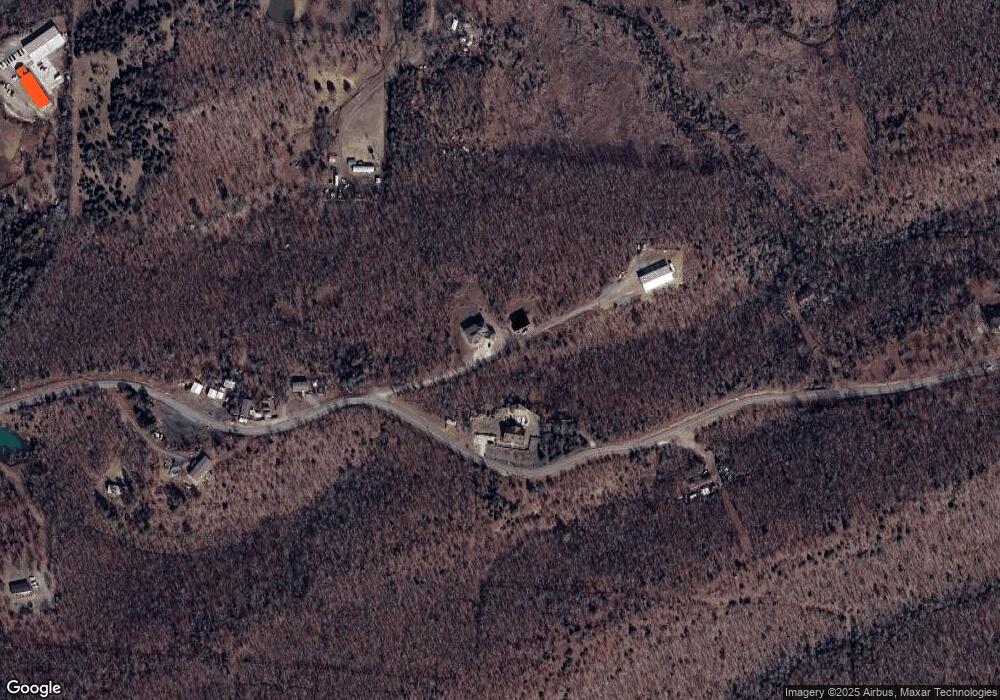
Map
Nearby Homes
- 8 Susan Ln
- 2450 Village Court Dr
- 1000 Grandview Heights Dr
- 2104 West St
- 1501 Dogwood Trail
- 1905 Hutto St
- 2003 Capewood Dr
- 8 acres Lakeview Dr
- 1800 Altus St
- 860 Steel Ave
- Tract 4 Friendship Rd
- 3385 & 3355 Friendship Rd
- Tract 2 Friendship Rd
- Tract 1 Friendship Rd
- 1320 Sawyer Ln
- 1400 Sawyer Ln
- 1500 Sawyer Ln
- 2485 Crestwood Ct
- 1535 Clifton St
- 2007 Arkansas Ave
- 1720 Ridge Rd
- 1710 Ridge Rd
- 1710 Pike Ridge
- 1705 Pike Ridge
- 1730 Hwy 64 W
- 1730 Highway 64 W
- 1780 Old Morrilton Hwy
- 1610 Highway 64 W Unit 1610 Highway 64 West
- 1610 Highway 64 W
- 1575 Pike Ridge
- 1610 Highway 64
- 1450 Grandview Heights
- 1505 Pike Ridge
- 1885 Highway 64 W
- 1864 Hwy 64 W
- 1864 W Hwy 64
- 1400 Grandview Heights
- 1890 Hwy 64 W
- 1622 Cherry St
- 1400 Old Morrilton Hwy