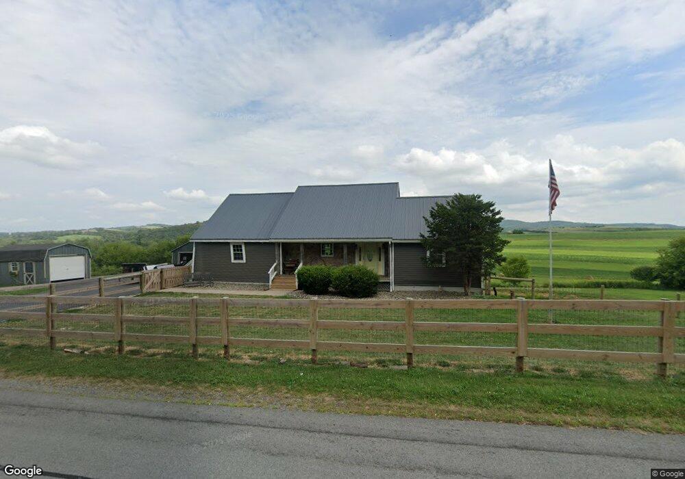
1640 State Route 12 Waterville, NY 13480
Estimated Value: $218,000 - $303,000
5
Beds
2
Baths
2,380
Sq Ft
$116/Sq Ft
Est. Value
About This Home
This home is located at 1640 State Route 12, Waterville, NY 13480 and is currently estimated at $276,312, approximately $116 per square foot. 1640 State Route 12 is a home located in Oneida County with nearby schools including Memorial Park Elementary School and Waterville Junior/Senior High School.
Ownership History
Date
Name
Owned For
Owner Type
Purchase Details
Closed on
Jun 19, 2007
Sold by
Mcglynn Thomas J
Bought by
Glazier Erin
Current Estimated Value
Home Financials for this Owner
Home Financials are based on the most recent Mortgage that was taken out on this home.
Original Mortgage
$120,650
Outstanding Balance
$49,541
Interest Rate
6.19%
Mortgage Type
Purchase Money Mortgage
Estimated Equity
$226,771
Purchase Details
Closed on
Apr 25, 2005
Sold by
Hupchick Jacqueline A
Bought by
Mglynn Thomas J
Purchase Details
Closed on
Feb 16, 1996
Create a Home Valuation Report for This Property
The Home Valuation Report is an in-depth analysis detailing your home's value as well as a comparison with similar homes in the area
Home Values in the Area
Average Home Value in this Area
Purchase History
| Date | Buyer | Sale Price | Title Company |
|---|---|---|---|
| Glazier Erin | $127,000 | John Ferr | |
| Mglynn Thomas J | $115,000 | Richard Parker | |
| -- | -- | -- |
Source: Public Records
Mortgage History
| Date | Status | Borrower | Loan Amount |
|---|---|---|---|
| Open | Glazier Erin | $120,650 |
Source: Public Records
Tax History Compared to Growth
Tax History
| Year | Tax Paid | Tax Assessment Tax Assessment Total Assessment is a certain percentage of the fair market value that is determined by local assessors to be the total taxable value of land and additions on the property. | Land | Improvement |
|---|---|---|---|---|
| 2024 | $1,572 | $88,000 | $11,500 | $76,500 |
| 2023 | $1,485 | $88,000 | $11,500 | $76,500 |
| 2022 | $1,485 | $88,000 | $11,500 | $76,500 |
| 2021 | $1,494 | $88,000 | $11,500 | $76,500 |
| 2020 | $1,494 | $88,000 | $11,500 | $76,500 |
| 2019 | $2,914 | $88,000 | $11,500 | $76,500 |
| 2018 | $2,914 | $88,000 | $11,500 | $76,500 |
| 2017 | $2,914 | $88,000 | $11,500 | $76,500 |
| 2016 | $3,451 | $88,000 | $11,500 | $76,500 |
| 2015 | -- | $88,000 | $11,500 | $76,500 |
| 2014 | -- | $88,000 | $11,500 | $76,500 |
Source: Public Records
Map
Nearby Homes
- 380 Stafford Ave
- 323 Stafford Ave
- 197 Stafford Ave Unit WS
- 418 Putnam St Unit SS
- 122 Madison St Unit NS
- 1955 New York 12
- 1000 New York 12
- 0 Tassel Hill Rd N Unit S1626755
- 2390 Peck Rd
- 1530 Brothertown Rd
- 1348 Brothertown Rd Unit ES
- 9001 Summit Rd
- 7318 California Rd
- 6895 Hughes Rd E
- 138 N Main St
- 121 Cooper St
- 3053 South St
- 111 Maple Ave
- 7941
- 4 Eagle Hollow
- 1652 State Route 12
- 1641 State Route 12
- 1568 Rt 12
- 1598 State Route 12
- 1595 State Route 12
- 1590 State Route 12
- 1586 State Route 12
- 1584 New York 12
- 1575 State Route 12
- 1560 State Route 12
- 1723 State Route 12
- 379 New York 12
- 1756 Daytonville Rd
- 379 Stafford Ave
- 1653 Hanover Rd
- 373 Stafford Ave
- 7933 Canning Factory Rd
- 1767 New York 12
- 1767 State Route 12