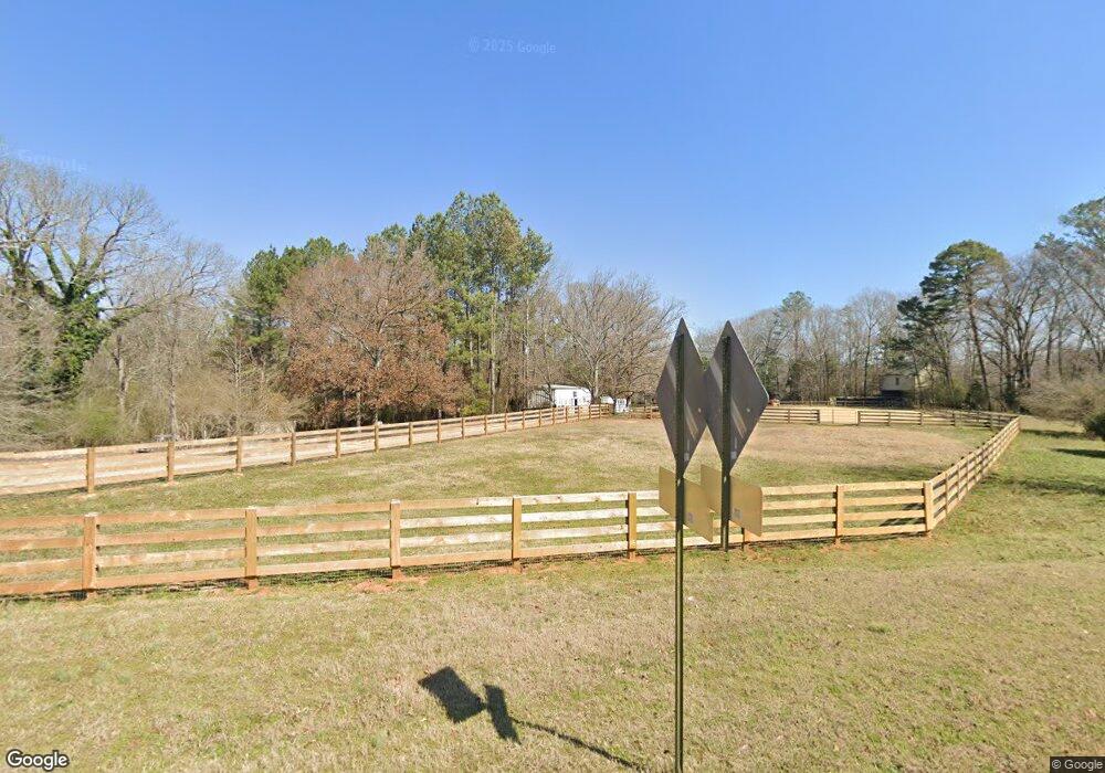
1640 Wire Bridge Rd Watkinsville, GA 30677
Estimated Value: $616,167 - $855,000
4
Beds
3
Baths
2,960
Sq Ft
$259/Sq Ft
Est. Value
About This Home
This home is located at 1640 Wire Bridge Rd, Watkinsville, GA 30677 and is currently estimated at $767,389, approximately $259 per square foot. 1640 Wire Bridge Rd is a home located in Oconee County with nearby schools including Colham Ferry Elementary School, Oconee County Middle School, and Oconee County High School.
Ownership History
Date
Name
Owned For
Owner Type
Purchase Details
Closed on
Nov 26, 2024
Sold by
Coggins Anne M
Bought by
Anne Marie Coggins Living Trust and Coggins Anne Marie Tr
Current Estimated Value
Purchase Details
Closed on
Oct 10, 2024
Sold by
Mcalister J Andrew
Bought by
James Andrew M
Purchase Details
Closed on
Nov 1, 2022
Sold by
Mcalister Patricia A
Bought by
Mcalister J Andrew
Purchase Details
Closed on
Nov 30, 2005
Sold by
Mcalister J Andrew
Bought by
Coggins Anne M
Home Financials for this Owner
Home Financials are based on the most recent Mortgage that was taken out on this home.
Original Mortgage
$155,000
Interest Rate
6.23%
Mortgage Type
New Conventional
Purchase Details
Closed on
Nov 13, 2001
Sold by
Wilkes Wilkes E and Wilkes Dwayne
Bought by
Brown Steven L
Create a Home Valuation Report for This Property
The Home Valuation Report is an in-depth analysis detailing your home's value as well as a comparison with similar homes in the area
Home Values in the Area
Average Home Value in this Area
Purchase History
| Date | Buyer | Sale Price | Title Company |
|---|---|---|---|
| Anne Marie Coggins Living Trust | -- | -- | |
| James Andrew M | -- | -- | |
| Mcalister J Andrew | -- | -- | |
| Coggins Anne M | -- | -- | |
| Mcalister J Andrew | $235,000 | -- | |
| Brown Steven L | -- | -- |
Source: Public Records
Mortgage History
| Date | Status | Borrower | Loan Amount |
|---|---|---|---|
| Previous Owner | Mcalister J Andrew | $155,000 |
Source: Public Records
Tax History Compared to Growth
Tax History
| Year | Tax Paid | Tax Assessment Tax Assessment Total Assessment is a certain percentage of the fair market value that is determined by local assessors to be the total taxable value of land and additions on the property. | Land | Improvement |
|---|---|---|---|---|
| 2024 | $3,627 | $194,092 | $45,520 | $148,572 |
| 2023 | $3,627 | $183,456 | $40,284 | $143,172 |
| 2022 | $2,628 | $122,492 | $35,030 | $87,462 |
| 2021 | $2,558 | $110,492 | $30,460 | $80,032 |
| 2020 | $2,436 | $105,063 | $29,010 | $76,053 |
| 2019 | $2,353 | $101,479 | $29,010 | $72,469 |
| 2018 | $2,250 | $94,992 | $23,208 | $71,784 |
| 2017 | $2,154 | $90,955 | $21,291 | $69,664 |
| 2016 | $1,903 | $80,337 | $20,277 | $60,060 |
| 2015 | $1,888 | $79,545 | $20,277 | $59,268 |
| 2014 | $1,836 | $75,606 | $18,425 | $57,180 |
| 2013 | -- | $73,943 | $18,598 | $55,345 |
Source: Public Records
Map
Nearby Homes
- 1520 Marshall-Wilkes Rd
- 1931 Oliver Bridge Rd
- 1380 Sunset Ridge
- 1380 (2) Sunset Ridge
- 4081 Greensboro Hwy
- 14 Wilson Rd
- 1260 Watson Ln Unit F7
- 2750 Elder Mill Rd
- 2568 Wire Bridge Rd
- 1191 Old Barnett Shoals Rd
- 1310 Watson Ln Unit F9
- 0 Old Salem Unit CL341466
- 1990 Elder Mill Rd
- 0 Old Barnett Shoals Rd Unit 22878090
- 1601 Jerusalem Rd
- 1181 Old Barnett Shoals Rd
- 1800 Elder Mill Rd
- 1650 Wire Bridge Rd
- 1020 Honeysuckle Dr
- 1060 Honeysuckle Dr
- 1661 Wire Bridge Rd
- 1021 Honeysuckle Dr
- 0 Honeysuckle Dr Unit 8368494
- 0 Honeysuckle Dr
- 1551 Wire Bridge Rd
- 1120 Honeysuckle Dr
- 1711 Wire Bridge Rd
- 1550 Wire Bridge Rd
- 1340 Wire Bridge Rd
- 1141 Honeysuckle Dr
- 1150 Honeysuckle Dr
- 1760 Wire Bridge Rd
- 1160 Honeysuckle Dr
- 1161 Honeysuckle Dr
- 1780 Wire Bridge Rd
- 0 Wire Bridge Rd Unit CM387931
- 0 Wire Bridge Rd Unit 986135