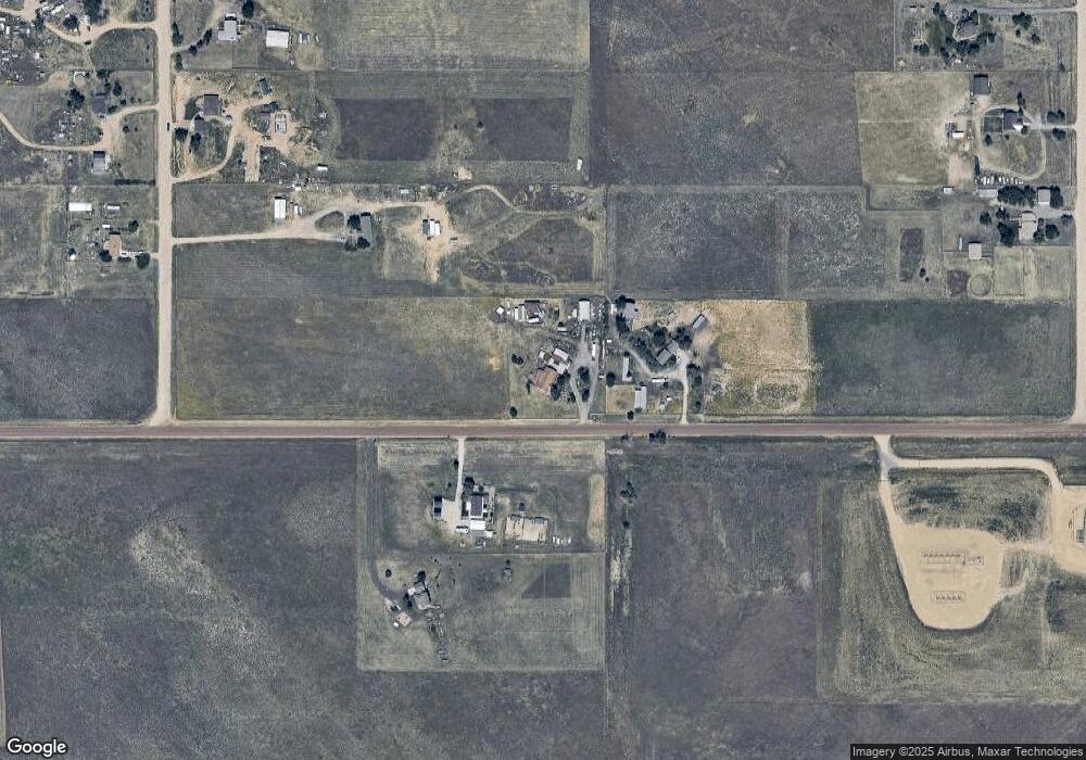
16403 County Road 6 Fort Lupton, CO 80621
Estimated Value: $570,000 - $774,000
3
Beds
1
Bath
1,890
Sq Ft
$356/Sq Ft
Est. Value
About This Home
This home is located at 16403 County Road 6, Fort Lupton, CO 80621 and is currently estimated at $673,020, approximately $356 per square foot. 16403 County Road 6 is a home located in Weld County with nearby schools including Weld Central Senior High School.
Ownership History
Date
Name
Owned For
Owner Type
Purchase Details
Closed on
Jul 30, 2019
Sold by
Mason Stanley E
Bought by
Schackmann Paul F
Current Estimated Value
Home Financials for this Owner
Home Financials are based on the most recent Mortgage that was taken out on this home.
Original Mortgage
$245,000
Outstanding Balance
$215,014
Interest Rate
3.8%
Mortgage Type
New Conventional
Estimated Equity
$458,006
Purchase Details
Closed on
Dec 15, 1992
Sold by
White Elizabeth
Bought by
Mason Stanley E and Mason Mary Glenda
Purchase Details
Closed on
Apr 18, 1988
Purchase Details
Closed on
Nov 4, 1977
Create a Home Valuation Report for This Property
The Home Valuation Report is an in-depth analysis detailing your home's value as well as a comparison with similar homes in the area
Home Values in the Area
Average Home Value in this Area
Purchase History
| Date | Buyer | Sale Price | Title Company |
|---|---|---|---|
| Schackmann Paul F | $395,000 | First American | |
| Mason Stanley E | $68,000 | -- | |
| -- | -- | -- | |
| -- | -- | -- |
Source: Public Records
Mortgage History
| Date | Status | Borrower | Loan Amount |
|---|---|---|---|
| Open | Schackmann Paul F | $245,000 |
Source: Public Records
Tax History Compared to Growth
Tax History
| Year | Tax Paid | Tax Assessment Tax Assessment Total Assessment is a certain percentage of the fair market value that is determined by local assessors to be the total taxable value of land and additions on the property. | Land | Improvement |
|---|---|---|---|---|
| 2025 | $2,144 | $38,950 | $19,150 | $19,800 |
| 2024 | $2,144 | $38,950 | $19,150 | $19,800 |
| 2023 | $2,016 | $45,600 | $19,920 | $25,680 |
| 2022 | $1,682 | $32,440 | $14,640 | $17,800 |
| 2021 | $1,811 | $33,370 | $15,060 | $18,310 |
| 2020 | $1,377 | $26,870 | $7,080 | $19,790 |
| 2019 | $1,448 | $26,870 | $7,080 | $19,790 |
| 2018 | $1,160 | $21,020 | $6,460 | $14,560 |
| 2017 | $1,120 | $21,020 | $6,460 | $14,560 |
| 2016 | $1,015 | $18,890 | $5,780 | $13,110 |
| 2015 | $832 | $18,890 | $5,780 | $13,110 |
| 2014 | $789 | $17,600 | $8,420 | $9,180 |
Source: Public Records
Map
Nearby Homes
- 2269 Mathews Ave
- 2869 Mathews Ave
- 567 Xavier Dr
- 1836 Taos St
- 17445 County Road 6
- 541 Park Blvd
- The Livingston | Residence 39103 Plan at Bella Vista
- The Cimarron Plan at Bella Vista
- The Powell | Residence 39206 Plan at Bella Vista
- The Ontario | Residence 39205 Plan at Bella Vista
- The Mackenzie Plan at Bella Vista
- The Marion | Residence 39208 Plan at Bella Vista
- 489 Reserve Ave
- 370 Mesa Ave
- 362 Westin Ave
- 2065 Wildwood St
- 307 Hunter Ave
- 302 Horizon Ave
- 1032 Cable St
- 177 Westin Ave
- 16603 County Road 6
- 16380 County Road 6
- 2090 Mathews Ave
- 16208 County Road 6
- 2150 Mathews Ave
- 2089 Mathews Ave
- 2210 Mathews Ave
- 2149 Mathews Ave
- 2151 Tate Ave
- 2211 Tate Ave
- 2270 Mathews Ave
- 2092 Tate Ave
- 2209 Mathews Ave
- 2331 Tate Ave
- 2152 Tate Ave
- 2330 Mathews Ave
- 16103 County Road 6
- 2271 Tate Ave
- 2212 Tate Ave
- 2329 Mathews Ave