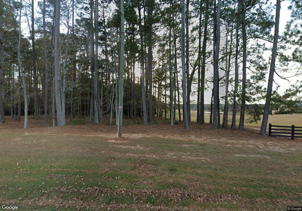
1641 Cedar Rock Rd Thomson, GA 30824
Estimated Value: $416,604 - $836,000
4
Beds
4
Baths
3,194
Sq Ft
$187/Sq Ft
Est. Value
About This Home
This home is located at 1641 Cedar Rock Rd, Thomson, GA 30824 and is currently estimated at $595,868, approximately $186 per square foot. 1641 Cedar Rock Rd is a home located in McDuffie County with nearby schools including Thomson High School.
Ownership History
Date
Name
Owned For
Owner Type
Purchase Details
Closed on
Apr 2, 2014
Sold by
Coussons George E
Bought by
Davenport Dewayne M and Davenport Vickie L
Current Estimated Value
Home Financials for this Owner
Home Financials are based on the most recent Mortgage that was taken out on this home.
Original Mortgage
$338,824
Outstanding Balance
$255,203
Interest Rate
4.33%
Mortgage Type
VA
Estimated Equity
$340,665
Purchase Details
Closed on
Jan 22, 1999
Sold by
Cooper Terrence P
Bought by
Coussons George E
Purchase Details
Closed on
Apr 15, 1996
Sold by
Mcneill John T
Bought by
Cooper Terrence P
Create a Home Valuation Report for This Property
The Home Valuation Report is an in-depth analysis detailing your home's value as well as a comparison with similar homes in the area
Home Values in the Area
Average Home Value in this Area
Purchase History
| Date | Buyer | Sale Price | Title Company |
|---|---|---|---|
| Davenport Dewayne M | $328,000 | -- | |
| Coussons George E | $230,000 | -- | |
| Cooper Terrence P | $45,000 | -- |
Source: Public Records
Mortgage History
| Date | Status | Borrower | Loan Amount |
|---|---|---|---|
| Open | Davenport Dewayne M | $338,824 |
Source: Public Records
Tax History Compared to Growth
Tax History
| Year | Tax Paid | Tax Assessment Tax Assessment Total Assessment is a certain percentage of the fair market value that is determined by local assessors to be the total taxable value of land and additions on the property. | Land | Improvement |
|---|---|---|---|---|
| 2025 | $3,341 | $146,943 | $22,977 | $123,966 |
| 2024 | $3,341 | $138,377 | $20,700 | $117,677 |
| 2023 | $3,237 | $133,801 | $20,700 | $113,101 |
| 2022 | $2,850 | $111,452 | $20,700 | $90,752 |
| 2021 | $2,408 | $92,136 | $20,098 | $72,038 |
| 2020 | $3,502 | $128,216 | $25,816 | $102,400 |
| 2019 | $3,539 | $128,216 | $25,816 | $102,400 |
| 2018 | $3,539 | $128,216 | $25,816 | $102,400 |
| 2017 | $3,415 | $128,216 | $25,816 | $102,400 |
| 2016 | $3,415 | $128,216 | $25,816 | $102,400 |
| 2015 | $3,122 | $128,926 | $18,900 | $110,026 |
| 2014 | $3,117 | $128,206 | $18,901 | $109,305 |
| 2013 | -- | $124,566 | $18,900 | $105,666 |
Source: Public Records
Map
Nearby Homes
- 1403 Tanyard Creek Dr
- 325 Bordeaux Dr
- 209 Hoey St
- 599 Twin Oaks Rd
- 00 Three Points Rd
- 875 Earle St
- 640 Dogwood Dr
- 249 Seymour Dr S
- 334 Bordeaux Dr
- 359 Bordeaux Dr
- 357 Bordeaux Dr
- 353 Bordeaux Dr
- 355 Bordeaux Dr
- 352 Bordeaux Dr
- 344 Bordeaux Dr
- 358 Bordeaux Dr
- 319 Bordeaux Dr
- 314 Bordeaux Dr
- 0 Earle St
- 1641 Cedar Rock Rd Unit 3
- 1603 Mattox Creek Rd
- 1589 Mattox Creek Dr
- 1601 Cedar Rock Rd
- 1673 Cedar Rock Rd
- 1622 Mattox Creek Dr
- 1705 Cedar Rock Rd
- 1560 Mattox Creek Dr
- 1545 Mattox Creek Dr
- 1674 Mattox Creek Dr
- 1540 Mattox Creek Dr
- 1514 Mattox Creek Dr
- 1746 Mattox Creek Dr
- 1705 Mattox Creek Dr
- 1638 Cedar Rock Rd
- 1475 Cedar Rock Rd
- 1780 Mattox Creek Dr
- 1438 Tanyard Creek Dr
- 1576 Cedar Rock Rd
- 1709 Mattox Creek Dr
