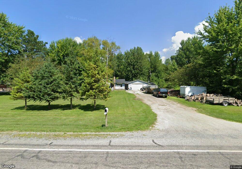
1641 Curtis Rd Birch Run, MI 48415
Estimated Value: $211,000 - $244,000
3
Beds
2
Baths
1,532
Sq Ft
$145/Sq Ft
Est. Value
About This Home
This home is located at 1641 Curtis Rd, Birch Run, MI 48415 and is currently estimated at $222,410, approximately $145 per square foot. 1641 Curtis Rd is a home located in Saginaw County with nearby schools including Thomas White School, Martin G. Atkins Elementary School, and Bridgeport High School.
Ownership History
Date
Name
Owned For
Owner Type
Purchase Details
Closed on
Jan 4, 2023
Sold by
Hammond Jamie L
Bought by
Dobis Shane M
Current Estimated Value
Home Financials for this Owner
Home Financials are based on the most recent Mortgage that was taken out on this home.
Original Mortgage
$83,000
Outstanding Balance
$45,442
Interest Rate
6.95%
Mortgage Type
Balloon
Estimated Equity
$176,968
Purchase Details
Closed on
Dec 12, 2022
Sold by
Dobis James J
Bought by
Hammond Jamie L
Home Financials for this Owner
Home Financials are based on the most recent Mortgage that was taken out on this home.
Original Mortgage
$83,000
Outstanding Balance
$45,442
Interest Rate
6.95%
Mortgage Type
Balloon
Estimated Equity
$176,968
Purchase Details
Closed on
Mar 26, 2001
Sold by
Dobis James J and Dobis Vicky Lynn
Bought by
Dobis James J
Create a Home Valuation Report for This Property
The Home Valuation Report is an in-depth analysis detailing your home's value as well as a comparison with similar homes in the area
Home Values in the Area
Average Home Value in this Area
Purchase History
| Date | Buyer | Sale Price | Title Company |
|---|---|---|---|
| Dobis Shane M | -- | -- | |
| Hammond Jamie L | -- | -- | |
| Dobis James J | -- | -- |
Source: Public Records
Mortgage History
| Date | Status | Borrower | Loan Amount |
|---|---|---|---|
| Open | Hammond Jamie L | $83,000 |
Source: Public Records
Tax History Compared to Growth
Tax History
| Year | Tax Paid | Tax Assessment Tax Assessment Total Assessment is a certain percentage of the fair market value that is determined by local assessors to be the total taxable value of land and additions on the property. | Land | Improvement |
|---|---|---|---|---|
| 2025 | $2,092 | $86,000 | $0 | $0 |
| 2024 | $537 | $79,500 | $0 | $0 |
| 2023 | $512 | $63,400 | $0 | $0 |
| 2022 | $1,743 | $57,800 | $0 | $0 |
| 2021 | $1,601 | $51,000 | $0 | $0 |
| 2020 | $1,559 | $47,300 | $0 | $0 |
| 2019 | $1,484 | $44,700 | $8,500 | $36,200 |
| 2018 | $446 | $45,700 | $0 | $0 |
| 2017 | $1,343 | $43,100 | $0 | $0 |
| 2016 | $1,540 | $42,100 | $0 | $0 |
| 2014 | -- | $38,900 | $0 | $29,700 |
| 2013 | -- | $38,700 | $0 | $0 |
Source: Public Records
Map
Nearby Homes
- 1750 Curtis Rd
- 7863 Sheridan Rd Lot #2 Rd
- 7863 Sheridan Rd Lot 4 Rd
- 7863 Sheridan Rd Lot #3 Rd
- 1374 E Moore Rd
- 1944 E Moore Rd
- VL E Moore Rd
- 1160 E Moore Rd
- 7365 Cole Rd
- 6580 Bell Rd
- 1321 Ruby Ann Dr
- 3130 E Moore Rd
- 1865 W Moore Rd
- 1891 W Moore Rd
- 5521 Cole Rd
- VL Fort Rd
- 5665 East Rd
- 5126 Youngstown Place
- 1261 Houlihan Rd
- 3875 Curtis Rd
- 1597 Curtis Rd
- 1570 Curtis Rd
- 1570 Curtis Rd
- 1555 Curtis Rd
- 1495 Curtis Rd
- 1500 Curtis Rd
- 1500 Curtis Rd
- 1729 Curtis Rd
- 1749 Curtis Rd
- 1790 Curtis Rd
- 1769 Curtis Rd
- 1769 E Curtis Rd
- 1700 Curtis Rd
- 1797 Curtis Rd
- 1825 Curtis Rd
- 1804 E Curtis Rd
- 1843 Curtis Rd
- 1863 Curtis Rd
- 1800 Curtis Rd
- 1385 E Curtis Rd