Estimated Value: $258,868
--
Bed
--
Bath
5,081
Sq Ft
$51/Sq Ft
Est. Value
About This Home
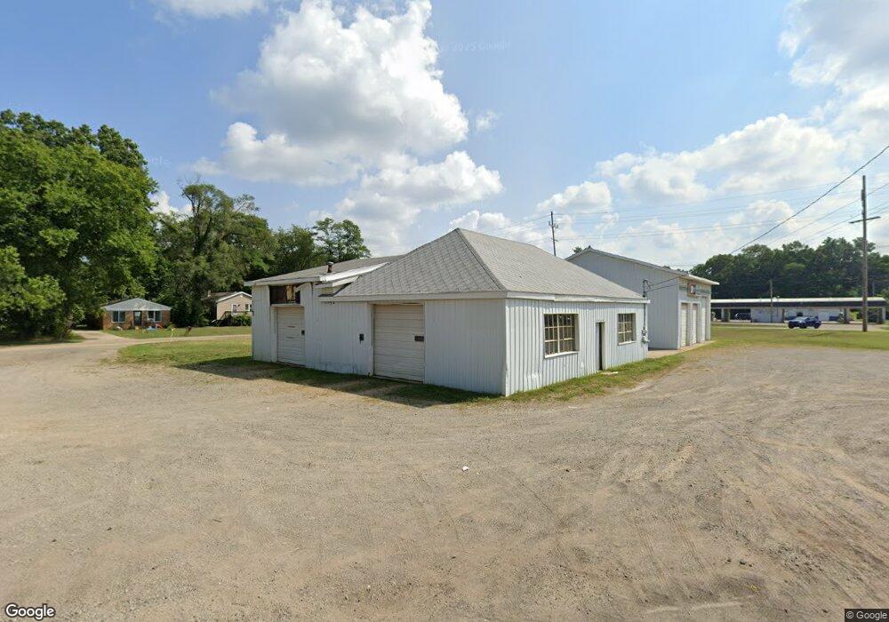
This home is located at 1641 E Main St, Niles, MI 49120 and is currently priced at $258,868, approximately $50 per square foot. 1641 E Main St is a home located in Berrien County with nearby schools including James Ellis School, Howard-Ellis Elementary School, and Oak Manor Sixth Grade Center.
Ownership History
Date
Name
Owned For
Owner Type
Purchase Details
Closed on
Sep 19, 2025
Sold by
Northrop Roger
Bought by
R & S Niles Llc
Current Estimated Value
Purchase Details
Closed on
Sep 20, 2024
Sold by
Northrop Roger
Bought by
R & S Niles Llc
Purchase Details
Closed on
Jul 18, 2014
Sold by
Reed Fred and Reed Sharon
Bought by
Northrop Roger
Home Financials for this Owner
Home Financials are based on the most recent Mortgage that was taken out on this home.
Original Mortgage
$196,000
Interest Rate
4.2%
Mortgage Type
Commercial
Purchase Details
Closed on
Apr 2, 1996
Sold by
Strefling Benjamin T and Strefling Elsie M
Bought by
Reed Fred and Hall Kenneth R
Purchase Details
Closed on
Nov 1, 1986
Create a Home Valuation Report for This Property
The Home Valuation Report is an in-depth analysis detailing your home's value as well as a comparison with similar homes in the area
Home Values in the Area
Average Home Value in this Area
Purchase History
| Date | Buyer | Sale Price | Title Company |
|---|---|---|---|
| R & S Niles Llc | $250,000 | None Listed On Document | |
| R & S Niles Llc | -- | Near North Title Group | |
| Northrop Roger | $125,000 | First American Title | |
| Reed Fred | $54,000 | None Available | |
| Reed Fred | -- | -- | |
| -- | $54,000 | -- | |
| -- | $54,000 | -- |
Source: Public Records
Mortgage History
| Date | Status | Borrower | Loan Amount |
|---|---|---|---|
| Previous Owner | Northrop Roger | $196,000 |
Source: Public Records
Tax History Compared to Growth
Tax History
| Year | Tax Paid | Tax Assessment Tax Assessment Total Assessment is a certain percentage of the fair market value that is determined by local assessors to be the total taxable value of land and additions on the property. | Land | Improvement |
|---|---|---|---|---|
| 2025 | $2,070 | $65,000 | $0 | $0 |
| 2024 | $1,097 | $63,200 | $0 | $0 |
| 2023 | $1,052 | $57,400 | $0 | $0 |
| 2022 | $1,002 | $47,800 | $0 | $0 |
| 2021 | $1,819 | $43,900 | $7,100 | $36,800 |
| 2020 | $1,797 | $44,300 | $0 | $0 |
| 2019 | $1,771 | $35,300 | $7,600 | $27,700 |
| 2018 | $1,730 | $35,300 | $0 | $0 |
| 2017 | $1,688 | $36,400 | $0 | $0 |
| 2016 | $1,658 | $38,300 | $0 | $0 |
| 2015 | $1,654 | $29,600 | $0 | $0 |
| 2014 | $949 | $34,600 | $0 | $0 |
Source: Public Records
Map
Nearby Homes
- 1638 Superior St
- 1526 Inner Dr
- 1522 Cherry St
- 1408 Silverbrook Ave
- 1639 Oak St
- V/L Kathryn St Unit Tract 3
- 21 S 15th St
- 1407 Hickory St
- 1352 Marion St
- 0 Kathryn St Unit Tract 1
- 1723 Broadway St
- 1642 Cedar St
- 1710 Cedar St
- 1648 Oak St
- VL Huron St
- 1008 Oak St
- 1121 Broadway St
- 340 Carefree Ct
- 81 E Wildflower
- Integrity 1610 Plan at Carefree Villas
- 1643 E Main St
- 1633 Silverbrook Ave
- 1635 Silverbrook Ave
- 1631 Silverbrook Ave
- 1639 Silverbrook Ave
- 1623 Silverbrook Ave
- 1634 Taft St
- 1638 Taft St
- 1640 Taft St
- 1628 Taft St
- 321 Taft St
- 1646 Taft St
- 1621 E Main St
- 1668 E Main St
- 1543 Inner Dr
- 1601 E Main St
- 1637 Taft St
- 1641 Taft St
- 1627 Taft St
- 1624 Taft St