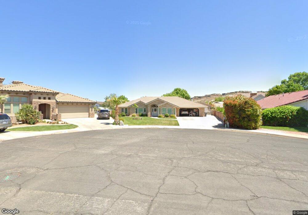
1641 S 1280 East Cir Saint George, UT 84790
Estimated Value: $646,853 - $659,000
4
Beds
2
Baths
2,350
Sq Ft
$277/Sq Ft
Est. Value
About This Home
This home is located at 1641 S 1280 East Cir, Saint George, UT 84790 and is currently estimated at $651,951, approximately $277 per square foot. 1641 S 1280 East Cir is a home located in Washington County with nearby schools including Bloomington Hills Elementary School, Sunrise Ridge Intermediate School, and Desert Hills Middle School.
Ownership History
Date
Name
Owned For
Owner Type
Purchase Details
Closed on
Mar 5, 2020
Sold by
Fisher Patricia A
Bought by
Vandenberghe William and Vandenberghe Maxiene
Current Estimated Value
Home Financials for this Owner
Home Financials are based on the most recent Mortgage that was taken out on this home.
Original Mortgage
$125,000
Outstanding Balance
$86,763
Interest Rate
3.6%
Mortgage Type
New Conventional
Estimated Equity
$565,188
Purchase Details
Closed on
May 2, 2013
Sold by
Fisher Ronald and Fisher Patricia
Bought by
Fisher Patricia A
Create a Home Valuation Report for This Property
The Home Valuation Report is an in-depth analysis detailing your home's value as well as a comparison with similar homes in the area
Home Values in the Area
Average Home Value in this Area
Purchase History
| Date | Buyer | Sale Price | Title Company |
|---|---|---|---|
| Vandenberghe William | -- | Eagle Gate Ttl Ins Agcy Inc | |
| Fisher Patricia A | -- | None Available |
Source: Public Records
Mortgage History
| Date | Status | Borrower | Loan Amount |
|---|---|---|---|
| Open | Vandenberghe William | $125,000 |
Source: Public Records
Tax History Compared to Growth
Tax History
| Year | Tax Paid | Tax Assessment Tax Assessment Total Assessment is a certain percentage of the fair market value that is determined by local assessors to be the total taxable value of land and additions on the property. | Land | Improvement |
|---|---|---|---|---|
| 2021 | $2,144 | $449,200 | $105,000 | $344,200 |
| 2020 | $2,005 | $395,600 | $99,800 | $295,800 |
| 2019 | $3,676 | $389,800 | $99,800 | $290,000 |
| 2018 | $3,650 | $352,800 | $0 | $0 |
| 2017 | $3,383 | $327,000 | $0 | $0 |
| 2016 | $3,525 | $320,700 | $0 | $0 |
| 2015 | $3,525 | $302,300 | $0 | $0 |
| 2014 | $3,485 | $300,700 | $0 | $0 |
Source: Public Records
Map
Nearby Homes
- 1314 Saint James Ln
- 1790 S River Rd
- 1659 S Cobblestone Ln
- 1118 Lizzie Ln
- 1620 E 1450 S Unit 14
- 1365 E Fort Pierce Dr Unit 9
- 1546 E 1850 S
- 1816 Boulder Cove Cir
- 1523 E Talus Way
- 2045 S 1400 E Unit 14
- 2045 S 1400 E Unit 10
- 2045 S 1400 E Unit 13
- 1180 Hubbard Place
- Cambria Plan at Cottam Cove
- Scarlett Plan at Cottam Cove
- Bryce Plan at Cottam Cove
- Belmont II Plan at Cottam Cove
- Bentley Plan at Cottam Cove
- Mesa Plan at Cottam Cove
- Bayhill II Plan at Cottam Cove
- 1641 S 1280 Cir E
- 1625 S 1280 East Cir
- 1291 St James Ln
- 1626 S 1340 East Cir
- 1307 Saint James Ln
- 1291 Saint James Ln
- 0 1280 Cir E
- 1280 1280 Cir E
- 1296 Lizzie Ln
- 1308 E Lizzie
- 1308 Lizzie Ln
- 1638 S 1340 East Cir
- 1323 Saint James Ln
- 1278 Lizzie Ln
- 1628 S 1280 East Cir
- 1324 Lizzie Ln
- 1656 S 1280 East Cir
- 1644 S 1280 East Cir
- 1339 Saint James Ln
- 1629 S 1340 Cir E