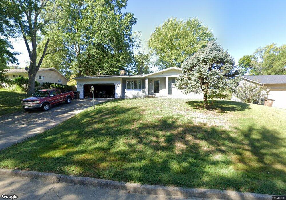
1641 Westwood Dr Cape Girardeau, MO 63701
Estimated Value: $222,000 - $240,000
3
Beds
3
Baths
1,498
Sq Ft
$153/Sq Ft
Est. Value
About This Home
This home is located at 1641 Westwood Dr, Cape Girardeau, MO 63701 and is currently estimated at $229,397, approximately $153 per square foot. 1641 Westwood Dr is a home with nearby schools including Alma Schrader Elementary School, Central Middle School, and Central Junior High School.
Ownership History
Date
Name
Owned For
Owner Type
Purchase Details
Closed on
May 12, 2023
Sold by
Neels Skyler J
Bought by
Skyler J Neels Revocable Trust
Current Estimated Value
Purchase Details
Closed on
Jun 25, 2021
Sold by
Harris Linda Pearl
Bought by
Neels Skyler J
Home Financials for this Owner
Home Financials are based on the most recent Mortgage that was taken out on this home.
Original Mortgage
$145,500
Interest Rate
2.9%
Mortgage Type
New Conventional
Purchase Details
Closed on
Apr 14, 2009
Sold by
Harris Robert E
Bought by
Harris Linda Pearl
Purchase Details
Closed on
Jul 3, 2006
Sold by
Harris Robert E and Harris Sherry A
Bought by
Harris Robert E and Harris Linda P
Home Financials for this Owner
Home Financials are based on the most recent Mortgage that was taken out on this home.
Original Mortgage
$119,000
Interest Rate
10.15%
Mortgage Type
Adjustable Rate Mortgage/ARM
Create a Home Valuation Report for This Property
The Home Valuation Report is an in-depth analysis detailing your home's value as well as a comparison with similar homes in the area
Home Values in the Area
Average Home Value in this Area
Purchase History
| Date | Buyer | Sale Price | Title Company |
|---|---|---|---|
| Skyler J Neels Revocable Trust | -- | None Listed On Document | |
| Neels Skyler J | -- | None Available | |
| Harris Linda Pearl | -- | None Available | |
| Harris Robert E | -- | None Available |
Source: Public Records
Mortgage History
| Date | Status | Borrower | Loan Amount |
|---|---|---|---|
| Previous Owner | Neels Skyler J | $145,500 | |
| Previous Owner | Harris Robert E | $119,000 |
Source: Public Records
Tax History Compared to Growth
Tax History
| Year | Tax Paid | Tax Assessment Tax Assessment Total Assessment is a certain percentage of the fair market value that is determined by local assessors to be the total taxable value of land and additions on the property. | Land | Improvement |
|---|---|---|---|---|
| 2025 | $12 | $24,860 | $2,560 | $22,300 |
| 2024 | $12 | $23,670 | $2,440 | $21,230 |
| 2023 | $1,230 | $23,670 | $2,440 | $21,230 |
| 2022 | $1,134 | $21,810 | $2,240 | $19,570 |
| 2021 | $1,134 | $21,810 | $2,240 | $19,570 |
| 2020 | $1,137 | $21,810 | $2,240 | $19,570 |
| 2019 | $1,136 | $21,810 | $0 | $0 |
| 2018 | $1,133 | $21,810 | $0 | $0 |
| 2017 | $1,136 | $21,810 | $0 | $0 |
| 2016 | $1,132 | $21,810 | $0 | $0 |
| 2015 | $1,132 | $21,810 | $0 | $0 |
| 2014 | $1,138 | $21,810 | $0 | $0 |
Source: Public Records
Map
Nearby Homes
- 1701 Brookwood Dr
- 2412 Masters Dr
- 2449 Janet Dr
- 2418 Masters Dr
- 2323 Brookwood Dr
- 2550 Marvin St
- 2709 Plymouth Dr
- 2323 Jean Ann Dr
- 2237 Sherwood Dr
- 1717 Perryville Rd
- 1415 N Clark St
- 1938 Westwood Dr
- 1912 Perryville Rd
- 1246 Marilyn Dr
- 1960 Briarwood Dr
- 2629 Hopper Rd
- 2416 Terrie Hill Rd
- 1814 Ricardo Dr
- 1966 Randol Ave
- 1806 Stoddard St
- 1647 Westwood Dr
- 1635 Westwood Dr
- 1653 Westwood Dr
- 1640 Westwood Dr
- 1646 Westwood Dr
- 1629 Westwood Dr
- 1600 Westwood Dr
- 1658 Westwood Dr
- 1659 Westwood Dr
- 2463 Masters Dr
- 1641 Brookwood Dr
- 1635 Brookwood Dr
- 1662 Westwood Dr
- 1647 Brookwood Dr
- 2469 Masters Dr
- 1653 Brookwood Dr
- 1659 Brookwood Dr
- 2437 Janet Dr
- 1664 Westwood Dr
- 24511 Janet Dr