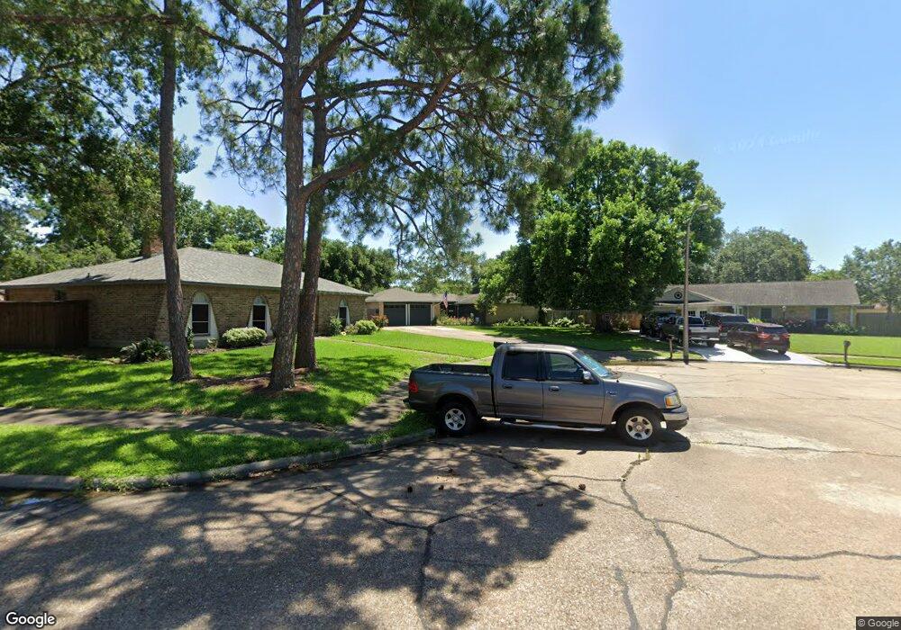
16415 Oxnard Ln Friendswood, TX 77546
Estimated Value: $270,000 - $274,245
3
Beds
2
Baths
1,708
Sq Ft
$160/Sq Ft
Est. Value
About This Home
This home is located at 16415 Oxnard Ln, Friendswood, TX 77546 and is currently estimated at $272,561, approximately $159 per square foot. 16415 Oxnard Ln is a home located in Harris County with nearby schools including Wedgewood Elementary School, Brookside Intermediate School, and Clear Brook High School.
Ownership History
Date
Name
Owned For
Owner Type
Purchase Details
Closed on
May 23, 1997
Sold by
Townsend Marshall H and Townsend Mary M
Bought by
Pearson Gregg E and Pearson Amanda L
Current Estimated Value
Home Financials for this Owner
Home Financials are based on the most recent Mortgage that was taken out on this home.
Original Mortgage
$79,090
Outstanding Balance
$10,992
Interest Rate
8.17%
Mortgage Type
FHA
Estimated Equity
$261,569
Create a Home Valuation Report for This Property
The Home Valuation Report is an in-depth analysis detailing your home's value as well as a comparison with similar homes in the area
Home Values in the Area
Average Home Value in this Area
Purchase History
| Date | Buyer | Sale Price | Title Company |
|---|---|---|---|
| Pearson Gregg E | -- | Alamo Title Company |
Source: Public Records
Mortgage History
| Date | Status | Borrower | Loan Amount |
|---|---|---|---|
| Open | Pearson Gregg E | $79,090 |
Source: Public Records
Tax History Compared to Growth
Tax History
| Year | Tax Paid | Tax Assessment Tax Assessment Total Assessment is a certain percentage of the fair market value that is determined by local assessors to be the total taxable value of land and additions on the property. | Land | Improvement |
|---|---|---|---|---|
| 2025 | $2,655 | $253,493 | $71,761 | $181,732 |
| 2024 | $2,655 | $260,352 | $71,761 | $188,591 |
| 2023 | $2,655 | $260,352 | $71,761 | $188,591 |
| 2022 | $4,548 | $230,982 | $71,761 | $159,221 |
| 2021 | $4,359 | $194,898 | $47,840 | $147,058 |
| 2020 | $4,305 | $175,843 | $45,847 | $129,996 |
| 2019 | $4,481 | $174,535 | $45,847 | $128,688 |
| 2018 | $819 | $161,344 | $35,880 | $125,464 |
| 2017 | $3,783 | $161,344 | $35,880 | $125,464 |
| 2016 | $3,439 | $148,961 | $35,880 | $113,081 |
| 2015 | $1,815 | $132,139 | $35,880 | $96,259 |
| 2014 | $1,815 | $120,387 | $27,907 | $92,480 |
Source: Public Records
Map
Nearby Homes
- 5498 Apple Blossom Ln
- 5323 Abercreek Ave
- 4311 Townes Forest Rd
- 16303 Townes Rd
- 5343 Royal Pkwy
- 5402 Royal Pkwy
- 5339 Appleblossom Ln
- 16703 Hibiscus Ln
- 16607 David Glen Dr
- 16222 Forest Bend Ave
- Lots 29 and 42 Block Wedgewood Village Dr
- 16114 Forest Bend Ave
- 4426 Saffron Ln
- 16406 Blackhawk Blvd
- 16510 Blackhawk Blvd
- 14 Haverford Ln
- 4430 Peridot Ln
- 16903 Paint Rock Rd
- 16327 Blackhawk Blvd
- 1303 Deepwood Dr
- 16419 Oxnard Ln
- 16426 Paint Rock Rd
- 16430 Paint Rock Rd
- 16411 Oxnard Ln
- 16422 Paint Rock Rd
- 5430 Timpani Dr
- 16434 Paint Rock Rd
- 5434 Timpani Dr
- 16418 Paint Rock Rd
- 16423 Oxnard Ln
- 5438 Timpani Dr
- 16438 Paint Rock Rd
- 16414 Paint Rock Rd
- 5442 Timpani Dr
- 16414 Oxnard Ln
- 16418 Oxnard Ln
- 16422 Oxnard Ln
- 16410 Oxnard Ln
- 16427 Paint Rock Rd
- 16431 Paint Rock Rd