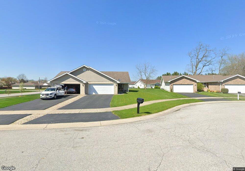
1642 Flag Ct Crown Point, IN 46307
Estimated Value: $249,437 - $280,000
2
Beds
2
Baths
1,273
Sq Ft
$209/Sq Ft
Est. Value
About This Home
This home is located at 1642 Flag Ct, Crown Point, IN 46307 and is currently estimated at $266,359, approximately $209 per square foot. 1642 Flag Ct is a home located in Lake County with nearby schools including Peifer Elementary School, Hal E Clark Middle School, and Lake Central High School.
Ownership History
Date
Name
Owned For
Owner Type
Purchase Details
Closed on
Jun 17, 2016
Sold by
Cantrell Kimberly A
Bought by
Wester Dawn M and Wester David M
Current Estimated Value
Purchase Details
Closed on
Nov 29, 2010
Sold by
Wesby Kimberly A
Bought by
Cantrell Dennis A and Cantrell Kimberly A
Purchase Details
Closed on
Apr 28, 2005
Sold by
Djukic Sava and Djukic Ljuba
Bought by
Wesley Kimberly A
Home Financials for this Owner
Home Financials are based on the most recent Mortgage that was taken out on this home.
Original Mortgage
$87,500
Interest Rate
6.13%
Mortgage Type
Fannie Mae Freddie Mac
Create a Home Valuation Report for This Property
The Home Valuation Report is an in-depth analysis detailing your home's value as well as a comparison with similar homes in the area
Home Values in the Area
Average Home Value in this Area
Purchase History
| Date | Buyer | Sale Price | Title Company |
|---|---|---|---|
| Wester Dawn M | -- | Fidelity National Title Co | |
| Cantrell Dennis A | -- | None Available | |
| Wesley Kimberly A | -- | -- |
Source: Public Records
Mortgage History
| Date | Status | Borrower | Loan Amount |
|---|---|---|---|
| Previous Owner | Wesley Kimberly A | $87,500 |
Source: Public Records
Tax History Compared to Growth
Tax History
| Year | Tax Paid | Tax Assessment Tax Assessment Total Assessment is a certain percentage of the fair market value that is determined by local assessors to be the total taxable value of land and additions on the property. | Land | Improvement |
|---|---|---|---|---|
| 2024 | $4,215 | $232,800 | $42,000 | $190,800 |
| 2023 | $3,428 | $207,000 | $42,000 | $165,000 |
| 2022 | $3,428 | $185,900 | $42,000 | $143,900 |
| 2021 | $3,234 | $177,800 | $42,000 | $135,800 |
| 2020 | $3,099 | $166,000 | $33,000 | $133,000 |
| 2019 | $3,345 | $163,400 | $30,800 | $132,600 |
| 2018 | $3,261 | $157,200 | $30,800 | $126,400 |
| 2017 | $2,942 | $149,800 | $30,800 | $119,000 |
| 2016 | $755 | $144,500 | $30,800 | $113,700 |
| 2014 | $667 | $142,700 | $30,800 | $111,900 |
| 2013 | $662 | $140,800 | $30,800 | $110,000 |
Source: Public Records
Map
Nearby Homes
- 2921 Morningside Dr
- 2914 Morningside Dr
- 1813 Redwood Ct
- 6076 Wexford Way
- 5547 Maggie Mae Ct
- 1881 Orchard Ct
- 5544 Maggie Mae Ct
- 1896 Azalea Ct
- 2720 Painted Leaf Ct
- 1785 Wedgewood Ct
- 1765 Wedgewood Ct
- 2756 Autumn Dr
- 5480 Victoria Place
- 6440 W 89th Ave
- 2609 Autumn Dr
- 8109 Victoria Place
- 2543 Harvest Dr
- 8849 Calhoun Place
- 8521 Morse Place
- 6501 W 89th Ave