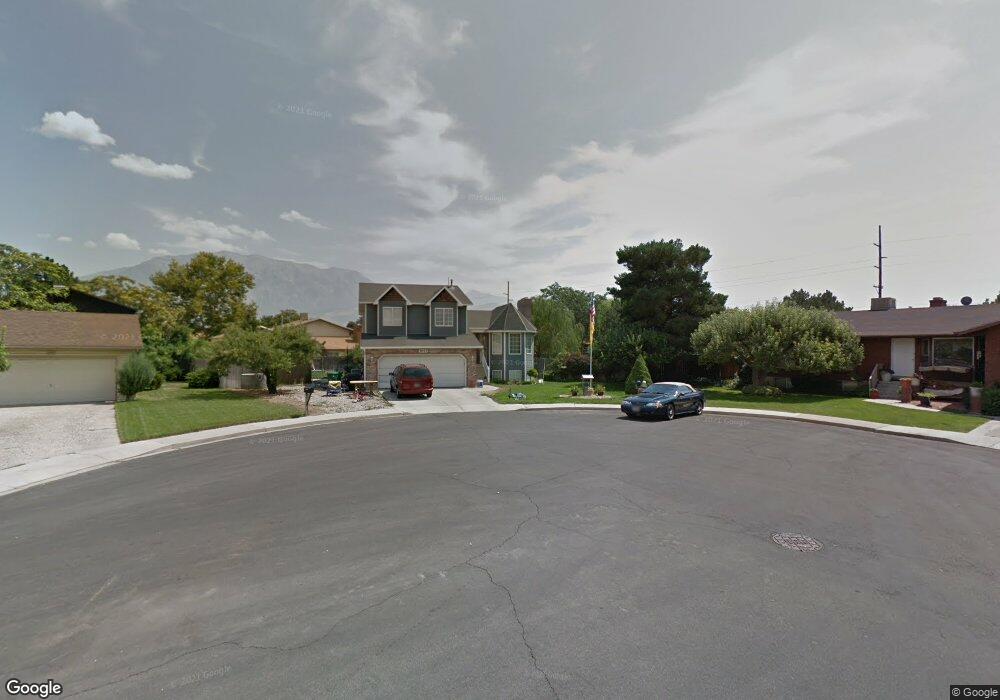
1642 N 680 W Orem, UT 84057
Aspen NeighborhoodEstimated Value: $583,000 - $718,000
5
Beds
4
Baths
2,602
Sq Ft
$239/Sq Ft
Est. Value
About This Home
This home is located at 1642 N 680 W, Orem, UT 84057 and is currently estimated at $622,473, approximately $239 per square foot. 1642 N 680 W is a home located in Utah County with nearby schools including Aspen Elementary School, Oak Canyon Junior High School, and Timpanogos High School.
Ownership History
Date
Name
Owned For
Owner Type
Purchase Details
Closed on
Nov 25, 2003
Sold by
The Stevan Davis & Leuri Zibetti Trust
Bought by
Smith Adam D and Smith Marta L
Current Estimated Value
Home Financials for this Owner
Home Financials are based on the most recent Mortgage that was taken out on this home.
Original Mortgage
$176,800
Interest Rate
6.75%
Mortgage Type
Fannie Mae Freddie Mac
Purchase Details
Closed on
May 10, 1999
Sold by
Hacking George A and Hacking Sydney L
Bought by
Davis Stevan R
Home Financials for this Owner
Home Financials are based on the most recent Mortgage that was taken out on this home.
Original Mortgage
$133,950
Interest Rate
6.96%
Create a Home Valuation Report for This Property
The Home Valuation Report is an in-depth analysis detailing your home's value as well as a comparison with similar homes in the area
Home Values in the Area
Average Home Value in this Area
Purchase History
| Date | Buyer | Sale Price | Title Company |
|---|---|---|---|
| Smith Adam D | -- | Fidelity Land & Title | |
| Davis Stevan R | -- | Title West Title Co |
Source: Public Records
Mortgage History
| Date | Status | Borrower | Loan Amount |
|---|---|---|---|
| Previous Owner | Smith Adam D | $176,800 | |
| Previous Owner | Davis Stevan R | $133,950 |
Source: Public Records
Tax History Compared to Growth
Tax History
| Year | Tax Paid | Tax Assessment Tax Assessment Total Assessment is a certain percentage of the fair market value that is determined by local assessors to be the total taxable value of land and additions on the property. | Land | Improvement |
|---|---|---|---|---|
| 2025 | $2,185 | $288,035 | $212,100 | $311,600 |
| 2024 | $2,185 | $267,190 | $0 | $0 |
| 2023 | $2,054 | $269,995 | $0 | $0 |
| 2022 | $2,201 | $280,280 | $0 | $0 |
| 2021 | $2,051 | $395,500 | $165,600 | $229,900 |
| 2020 | $1,888 | $357,900 | $132,500 | $225,400 |
| 2019 | $1,667 | $328,500 | $132,500 | $196,000 |
| 2018 | $1,585 | $298,500 | $121,200 | $177,300 |
| 2017 | $1,586 | $159,995 | $0 | $0 |
| 2016 | $1,551 | $144,320 | $0 | $0 |
| 2015 | $1,524 | $134,090 | $0 | $0 |
| 2014 | $1,428 | $125,015 | $0 | $0 |
Source: Public Records
Map
Nearby Homes
- 1561 N 740 W
- 613 W 1550 N
- 1545 N State St Unit 11
- 1482 N 550 St W Unit 18
- 697 W 1400 N
- 1415 N 550 West St
- 597 W 1400 N
- 856 W 1840 N
- 1455 N Amiron Way Unit A
- 582 W 1300 N
- 1438 N Amiron Way Unit B
- 1527 N 275 St W Unit 4
- 1543 N 275 St W Unit 2
- 1531 N 275 St W Unit 3
- 1570 N 275 St W
- 1557 N 275 St W Unit 1
- 1542 N 275 St W Unit 5
- 1556 N 275 St W Unit 5
- 332 W Amiron Way Unit D
- 1991 N 920 W