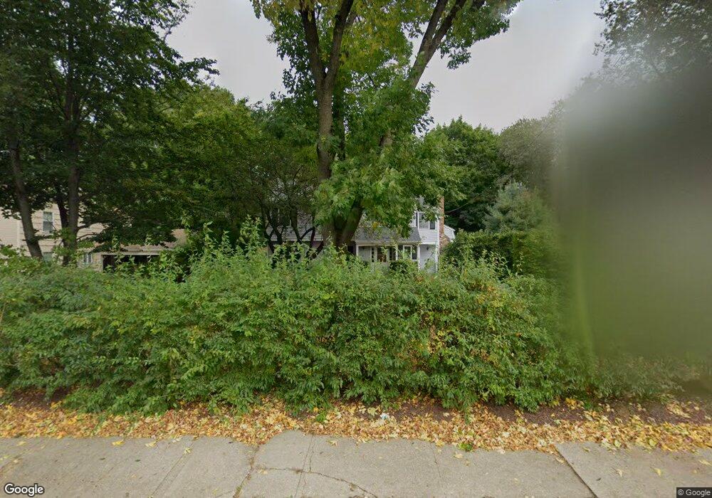
1642 Post Rd Darien, CT 06820
Estimated Value: $1,311,000 - $1,797,000
4
Beds
3
Baths
2,599
Sq Ft
$623/Sq Ft
Est. Value
About This Home
This home is located at 1642 Post Rd, Darien, CT 06820 and is currently estimated at $1,618,775, approximately $622 per square foot. 1642 Post Rd is a home located in Fairfield County with nearby schools including Tokeneke Elementary School, Middlesex Middle School, and Darien High School.
Ownership History
Date
Name
Owned For
Owner Type
Purchase Details
Closed on
Jul 8, 2002
Sold by
Emmery Lars and Emmery Winnie
Bought by
Hernandez Guillermo and Brun Irene
Current Estimated Value
Home Financials for this Owner
Home Financials are based on the most recent Mortgage that was taken out on this home.
Original Mortgage
$480,750
Interest Rate
6.63%
Purchase Details
Closed on
Jan 31, 1990
Sold by
Chatfield Craig
Bought by
Emmery Lars
Create a Home Valuation Report for This Property
The Home Valuation Report is an in-depth analysis detailing your home's value as well as a comparison with similar homes in the area
Home Values in the Area
Average Home Value in this Area
Purchase History
| Date | Buyer | Sale Price | Title Company |
|---|---|---|---|
| Hernandez Guillermo | $641,000 | -- | |
| Emmery Lars | $355,000 | -- |
Source: Public Records
Mortgage History
| Date | Status | Borrower | Loan Amount |
|---|---|---|---|
| Open | Emmery Lars | $485,000 | |
| Closed | Emmery Lars | $480,750 | |
| Previous Owner | Emmery Lars | $440,000 |
Source: Public Records
Tax History
| Year | Tax Paid | Tax Assessment Tax Assessment Total Assessment is a certain percentage of the fair market value that is determined by local assessors to be the total taxable value of land and additions on the property. | Land | Improvement |
|---|---|---|---|---|
| 2025 | $12,545 | $810,390 | $442,400 | $367,990 |
| 2024 | $11,905 | $810,390 | $442,400 | $367,990 |
| 2023 | $10,907 | $619,360 | $315,980 | $303,380 |
| 2022 | $10,672 | $619,360 | $315,980 | $303,380 |
| 2021 | $10,430 | $619,360 | $315,980 | $303,380 |
| 2020 | $10,133 | $619,360 | $315,980 | $303,380 |
| 2019 | $10,201 | $619,360 | $315,980 | $303,380 |
| 2018 | $9,992 | $621,390 | $295,960 | $325,430 |
| 2017 | $10,042 | $621,390 | $295,960 | $325,430 |
| 2016 | $9,799 | $621,390 | $295,960 | $325,430 |
| 2015 | $9,538 | $621,390 | $295,960 | $325,430 |
| 2014 | $9,327 | $621,390 | $295,960 | $325,430 |
Source: Public Records
Map
Nearby Homes
- 32 Relihan Rd
- 18 Pasture Ln
- 3 Salt Box Ln E
- 77 Maple St
- 20 Outlook Dr
- 20 Locust Hill Rd
- 23 Beach Dr
- 66 Stanton Rd
- 12 Walmsley Rd
- 2 Settlers Trail Unit 2
- 10 Stony Brook Rd
- 18 Winding Ln
- 5 Shields Ln
- 166 Hollow Tree Ridge Rd
- 167 Hollow Tree Ridge Rd
- 25 Lakeside Ave
- 223 Middlesex Rd
- 10 Cross Rd
- 3 Revere Rd
- 15 Charles St
- 1644 Post Rd
- 1640 Post Rd
- 214 Kings Hwy S
- 1646 Post Rd
- 214 Old Kings Hwy S
- 1638 Post Rd
- 1685 Boston Post Rd
- 2 Clubhouse Cir
- 200 Old Kings Hwy S
- 6 Clubhouse Cir
- 1685 Post Rd
- 1687 Post Rd
- 1580 Post Rd
- 1687 Boston Post Rd
- 216 Kings Hwy S
- 216 Old Kings Hwy S
- 194 Old Kings Hwy S
- 206 Old Kings Hwy S
- 9 Clubhouse Cir
- 198 Old Kings Hwy S
Your Personal Tour Guide
Ask me questions while you tour the home.