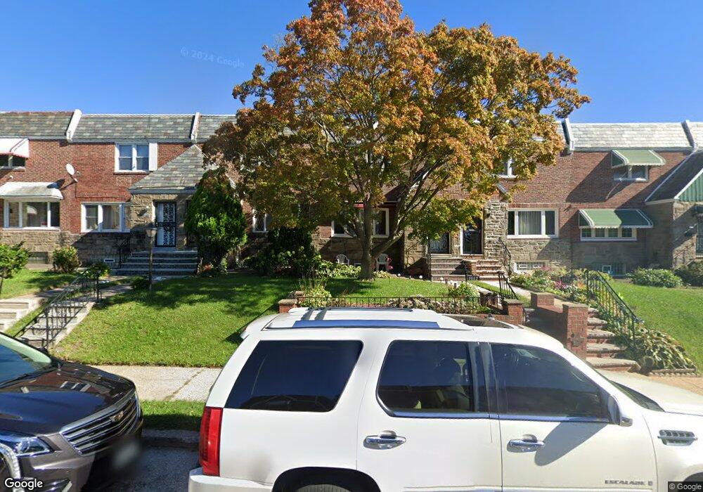
1642 Wynsam St Philadelphia, PA 19138
West Oak Lane NeighborhoodEstimated Value: $214,000 - $290,000
2
Beds
1
Bath
1,440
Sq Ft
$170/Sq Ft
Est. Value
About This Home
This home is located at 1642 Wynsam St, Philadelphia, PA 19138 and is currently estimated at $244,219, approximately $169 per square foot. 1642 Wynsam St is a home located in Philadelphia County with nearby schools including Anna B. Day School, Martin Luther King High School, and West Oak Lane Charter School.
Ownership History
Date
Name
Owned For
Owner Type
Purchase Details
Closed on
Dec 23, 1970
Bought by
Patrick Stevenson and Patrick Yvonne
Current Estimated Value
Create a Home Valuation Report for This Property
The Home Valuation Report is an in-depth analysis detailing your home's value as well as a comparison with similar homes in the area
Home Values in the Area
Average Home Value in this Area
Purchase History
| Date | Buyer | Sale Price | Title Company |
|---|---|---|---|
| Patrick Stevenson | -- | -- |
Source: Public Records
Tax History Compared to Growth
Tax History
| Year | Tax Paid | Tax Assessment Tax Assessment Total Assessment is a certain percentage of the fair market value that is determined by local assessors to be the total taxable value of land and additions on the property. | Land | Improvement |
|---|---|---|---|---|
| 2025 | $2,672 | $236,100 | $47,220 | $188,880 |
| 2024 | $2,672 | $236,100 | $47,220 | $188,880 |
| 2023 | $2,672 | $190,900 | $38,180 | $152,720 |
| 2022 | $1,327 | $145,900 | $38,180 | $107,720 |
| 2021 | $1,957 | $0 | $0 | $0 |
| 2020 | $1,957 | $0 | $0 | $0 |
| 2019 | $2,042 | $0 | $0 | $0 |
| 2018 | $1,862 | $0 | $0 | $0 |
| 2017 | $1,862 | $0 | $0 | $0 |
| 2016 | $1,354 | $0 | $0 | $0 |
| 2015 | $12,995 | $0 | $0 | $0 |
| 2014 | -- | $133,000 | $14,527 | $118,473 |
| 2012 | -- | $16,384 | $2,332 | $14,052 |
Source: Public Records
Map
Nearby Homes
- 1559 E Pastorius St
- 1544 E Tulpehocken St
- 1544 Beverly Rd
- 1537 Beverly Rd
- 1521 E Walnut Ln
- 7349 E Walnut Ln
- 7277 E Walnut Ln
- 1762 Mohican St
- 7243 Mansfield Ave
- 1821 E Tulpehocken St
- 1827 E Pastorius St
- 1505 Beverly Rd
- 1822 Nolan St
- 6635 Hollis St
- 1759 E Mayland St
- 1839 E Pastorius St
- 7258 Mansfield Ave
- 1416-20 E Tulpehocken St
- 1602 E Duval St
- 6661 Cornelius St