1643 Grouse Ln Fowlerville, MI 48836
Estimated Value: $370,000 - $478,033
3
Beds
3
Baths
1,569
Sq Ft
$267/Sq Ft
Est. Value
About This Home
This home is located at 1643 Grouse Ln, Fowlerville, MI 48836 and is currently estimated at $419,008, approximately $267 per square foot. 1643 Grouse Ln is a home located in Livingston County with nearby schools including H.T. Smith Elementary School, Natalie Kreeger Elementary School, and Fowlerville Junior High School.
Ownership History
Date
Name
Owned For
Owner Type
Purchase Details
Closed on
Aug 9, 2011
Sold by
Us Bank National Association
Bought by
Birchall Paul
Current Estimated Value
Purchase Details
Closed on
Jun 9, 2010
Sold by
Rupert Robert A and Rupert Colleen A
Bought by
Us Bank National Association and Credit Suisse First Boston
Purchase Details
Closed on
Jan 23, 2002
Sold by
P5 Real Estate Llc
Bought by
Waterside Meadows Homeowner Assn
Purchase Details
Closed on
Aug 10, 2000
Sold by
P & 5 Real Estate Llc
Bought by
Rupert Robert A and Rupert Colleen A
Create a Home Valuation Report for This Property
The Home Valuation Report is an in-depth analysis detailing your home's value as well as a comparison with similar homes in the area
Home Values in the Area
Average Home Value in this Area
Purchase History
| Date | Buyer | Sale Price | Title Company |
|---|---|---|---|
| Birchall Paul | $124,000 | -- | |
| Us Bank National Association | $148,900 | -- | |
| Waterside Meadows Homeowner Assn | -- | -- | |
| Rupert Robert A | $56,000 | Title America |
Source: Public Records
Tax History Compared to Growth
Tax History
| Year | Tax Paid | Tax Assessment Tax Assessment Total Assessment is a certain percentage of the fair market value that is determined by local assessors to be the total taxable value of land and additions on the property. | Land | Improvement |
|---|---|---|---|---|
| 2025 | $3,129 | $231,800 | $0 | $0 |
| 2024 | $1,377 | $214,900 | $0 | $0 |
| 2023 | $1,316 | $189,200 | $0 | $0 |
| 2022 | $2,817 | $144,200 | $0 | $0 |
| 2021 | $2,731 | $152,900 | $0 | $0 |
| 2020 | $2,722 | $148,300 | $0 | $0 |
| 2019 | $2,649 | $144,200 | $0 | $0 |
| 2018 | $2,601 | $126,800 | $0 | $0 |
| 2017 | $2,551 | $126,800 | $0 | $0 |
| 2016 | $2,533 | $114,300 | $0 | $0 |
| 2014 | $2,514 | $88,807 | $0 | $0 |
| 2012 | $2,514 | $84,804 | $0 | $0 |
Source: Public Records
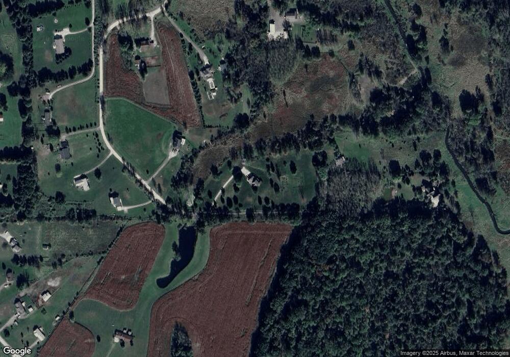
Map
Nearby Homes
- 7024 Lange Rd
- 1088 Kern Rd
- 8351 Lange Rd
- Parcel 20 Munsell Rd
- 7031 Munsell Rd
- 00 Fowlerville Rd
- 1260 Pingree Rd
- 323 S Truhn Rd
- 0 Adelines (Lot 19) Way Unit 217036320
- 0 Adelines (Lot 20) Way Unit 217036090
- 625 Fowlerville Rd
- 5748 W Coon Lake Rd
- Parcel A Pingree Rd
- 4485 Bull Run Rd
- 2960 Cedar Lake Rd
- 4033 Jewell Rd
- 2699 Cedar Lake Rd
- 3145 Cedar Lake Rd
- 971 Red Cedar Dr
- 3825 Norton Rd
- 1601 Grouse Ln
- 1690 Grouse Ln
- 1463 Grouse Ln
- 1638 Grouse Ln
- 1632 Grouse Ln
- 1505 Grouse Ln
- 1505 Grouse Ln
- 1666 Grouse Ln
- 1580 Grouse Ln
- 1877 River Bend Dr
- 7677 Lange Rd
- 1651 Riverbend Dr
- 1651 River Bend Dr
- 7515 Lange Rd
- 7683 Lange Rd
- 0 River Bend Dr Unit 218013567
- 0 River Bend Dr Unit 218007867
- 0 River Bend Dr Unit 217096104
- 0 River Bend Dr Unit 5587164
- 0 River Bend Dr Unit 5598015