1643 Mountainside Dr Cleveland, GA 30528
Estimated Value: $1,126,275 - $1,396,000
5
Beds
6
Baths
4,287
Sq Ft
$304/Sq Ft
Est. Value
About This Home
This home is located at 1643 Mountainside Dr, Cleveland, GA 30528 and is currently estimated at $1,304,425, approximately $304 per square foot. 1643 Mountainside Dr is a home located in White County with nearby schools including White County 9th Grade Academy, Tesnatee Gap Elementary (Old White County Intermediate), and Jack P. Nix Elementary School.
Ownership History
Date
Name
Owned For
Owner Type
Purchase Details
Closed on
Jan 29, 2016
Sold by
Aiken Bennet
Bought by
Sosebee Zachary Black
Current Estimated Value
Home Financials for this Owner
Home Financials are based on the most recent Mortgage that was taken out on this home.
Original Mortgage
$757,892
Outstanding Balance
$603,359
Interest Rate
3.99%
Estimated Equity
$701,066
Purchase Details
Closed on
Mar 1, 2007
Sold by
Not Provided
Bought by
Aiken Bennet and Aiken Gail
Create a Home Valuation Report for This Property
The Home Valuation Report is an in-depth analysis detailing your home's value as well as a comparison with similar homes in the area
Home Values in the Area
Average Home Value in this Area
Purchase History
| Date | Buyer | Sale Price | Title Company |
|---|---|---|---|
| Sosebee Zachary Black | $750,000 | -- | |
| Aiken Bennet | $308,000 | -- |
Source: Public Records
Mortgage History
| Date | Status | Borrower | Loan Amount |
|---|---|---|---|
| Open | Sosebee Zachary Black | $757,892 |
Source: Public Records
Tax History Compared to Growth
Tax History
| Year | Tax Paid | Tax Assessment Tax Assessment Total Assessment is a certain percentage of the fair market value that is determined by local assessors to be the total taxable value of land and additions on the property. | Land | Improvement |
|---|---|---|---|---|
| 2025 | -- | $700,688 | $68,000 | $632,688 |
| 2024 | -- | $462,448 | $34,000 | $428,448 |
| 2023 | $9,509 | $439,252 | $26,000 | $413,252 |
| 2022 | $7,691 | $383,704 | $26,000 | $357,704 |
| 2021 | $7,721 | $290,000 | $20,000 | $270,000 |
| 2020 | $7,400 | $264,932 | $20,000 | $244,932 |
| 2019 | $7,479 | $264,932 | $20,000 | $244,932 |
| 2018 | $7,479 | $264,932 | $20,000 | $244,932 |
| 2017 | $7,769 | $277,708 | $51,200 | $226,508 |
| 2016 | $7,770 | $277,708 | $51,200 | $226,508 |
| 2015 | $7,187 | $672,920 | $51,200 | $217,968 |
| 2014 | $5,572 | $520,710 | $0 | $0 |
Source: Public Records
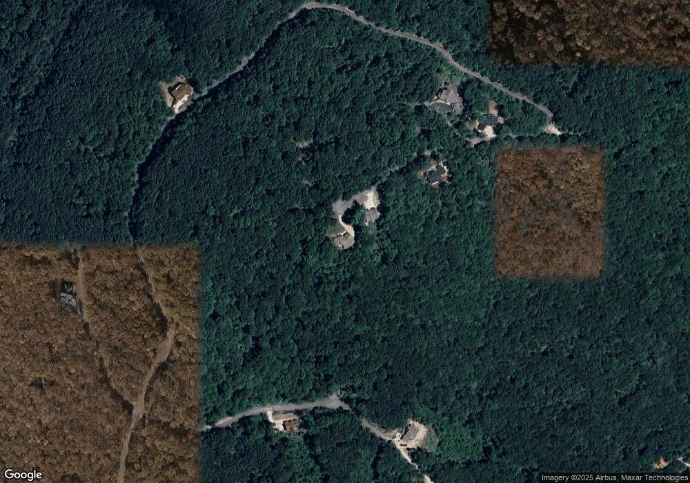
Map
Nearby Homes
- 00 Mountainside Dr
- LOT 54 Mountainside Dr
- 000 Mountainside Dr
- M23 Mountainside Dr
- LOT 25 Mountainside Dr
- 58 Mountainside Dr
- 2 Mountain Oak Rd
- LOT 63 Mountainside Dr
- 0 Mountainside Dr Unit 10491799
- 0 Mountainside Dr Unit 10491889
- 0 Mountainside Dr Unit 10491861
- 0 Mountainside Dr Unit 7658104
- 0 Mountainside Dr Unit 7556150
- 33 Shady Ln
- 140 Forked Leaf Rd
- 0 Edgewood Dr
- 575 Turner Rd
- 438 Turner Rd
- 253 N Laceola Rd
- 166 N Laceola Rd
- 1545 Mountainside Dr
- 229 Stone Cliff Trace Unit LOT 229
- 17 Mountainside Dr
- 1510 Mountainside Dr
- 228 Stone Cliff Trace
- 1498 Mountainside Dr
- 1500 Mountainside Dr
- LOT #56 Mountainside Dr
- LOT # 30 Mountainside Dr
- LOT 64 Mountainside Dr
- 1-2-8-F2 Mountainside Dr
- LOT 31 Mountainside Dr
- LOT 32L Mountainside Dr
- LOT 32L Mountainside Dr Unit LOT 32
- LOT 40 Mountainside Dr
- LOT 61 Mountainside Dr Unit LOT 61
- LOT 61 Mountainside Dr Unit 61
- LOT 32 Mountainside Dr Unit 32
- LOT 25 Mountainside Dr Unit LOT 25
- LOT 25 Mountainside Dr Unit 25