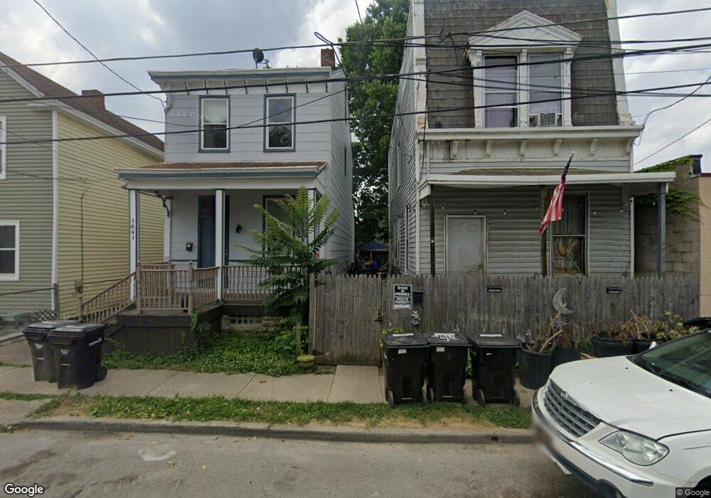
1643 Powers St Cincinnati, OH 45223
Northside NeighborhoodEstimated Value: $102,000 - $222,000
3
Beds
1
Bath
1,425
Sq Ft
$102/Sq Ft
Est. Value
About This Home
This home is located at 1643 Powers St, Cincinnati, OH 45223 and is currently estimated at $145,582, approximately $102 per square foot. 1643 Powers St is a home located in Hamilton County with nearby schools including Chase Elementary School, Robert A. Taft Information Technology High School, and Western Hills High School.
Ownership History
Date
Name
Owned For
Owner Type
Purchase Details
Closed on
Jan 19, 2024
Sold by
Fay Terrence M and Fay Barbara
Bought by
Barnes Travis Scott and Kay Jane L
Current Estimated Value
Home Financials for this Owner
Home Financials are based on the most recent Mortgage that was taken out on this home.
Original Mortgage
$76,000
Outstanding Balance
$74,409
Interest Rate
7.03%
Mortgage Type
Credit Line Revolving
Estimated Equity
$71,173
Purchase Details
Closed on
Mar 2, 1994
Sold by
Shanks Sophia L
Bought by
Fay Terrence M and Wessels Jay
Create a Home Valuation Report for This Property
The Home Valuation Report is an in-depth analysis detailing your home's value as well as a comparison with similar homes in the area
Home Values in the Area
Average Home Value in this Area
Purchase History
We collect this data history from publicly available records. To have your information removed, we recommend requesting removal directly through your county’s website.
| Date | Buyer | Sale Price | Title Company |
|---|---|---|---|
| Barnes Travis Scott | $80,000 | None Listed On Document | |
| Fay Terrence M | -- | -- |
Source: Public Records
Mortgage History
We collect this data history from publicly available records. To have your information removed, we recommend requesting removal directly through your county’s website.
| Date | Status | Borrower | Loan Amount |
|---|---|---|---|
| Open | Barnes Travis Scott | $76,000 |
Source: Public Records
Tax History
| Year | Tax Paid | Tax Assessment Tax Assessment Total Assessment is a certain percentage of the fair market value that is determined by local assessors to be the total taxable value of land and additions on the property. | Land | Improvement |
|---|---|---|---|---|
| 2025 | $1,811 | $29,338 | $10,126 | $19,212 |
| 2023 | $1,865 | $29,338 | $10,126 | $19,212 |
| 2022 | $730 | $10,259 | $5,236 | $5,023 |
| 2021 | $715 | $10,259 | $5,236 | $5,023 |
| 2020 | $717 | $10,259 | $5,236 | $5,023 |
| 2019 | $662 | $8,621 | $4,400 | $4,221 |
| 2018 | $663 | $8,621 | $4,400 | $4,221 |
| 2017 | $638 | $8,621 | $4,400 | $4,221 |
| 2016 | $564 | $7,420 | $4,291 | $3,129 |
| 2015 | $504 | $7,420 | $4,291 | $3,129 |
| 2014 | $507 | $7,420 | $4,291 | $3,129 |
| 2013 | $487 | $7,001 | $4,050 | $2,951 |
Source: Public Records
Map
Nearby Homes
- 1619 Powers St
- 1619 Burgoyne St
- 1616 Elmore St
- 1612 Cooper St
- 4017 Gulow St
- 4034 Colerain Ave
- 1771 Townsend St
- 1785 Townsend St
- 3813 Borden St
- 1817 Elmore St
- 4114 Gordon St
- 4153 Langland St
- 4210 Turrill St
- 1763 Hanfield St
- 3716 Beekman St
- 4208 Brookside Ave
- 1930 Powers St
- 4210 Colerain Ave
- 1932 Powers St
- 968 Ludlow Ave
- 3908 Cherry St
- 1653 Cooper St
- 1657 Cooper St
- 1655 Cooper St
- 1642 Powers St
- 1640 Powers St
- 1644 Powers St
- 3911 Turrill St
- 1647 Cooper St
- 1636 Powers St
- 1634 Powers St
- 1645 Cooper St
- 1659 Cooper St
- 3907 Cherry St
- 1643 Cooper St
- 1630 Powers St
- 1650 Powers St
- 1641 Cooper St
- 3924 Cherry St
- 3910 Turrill St
Your Personal Tour Guide
Ask me questions while you tour the home.