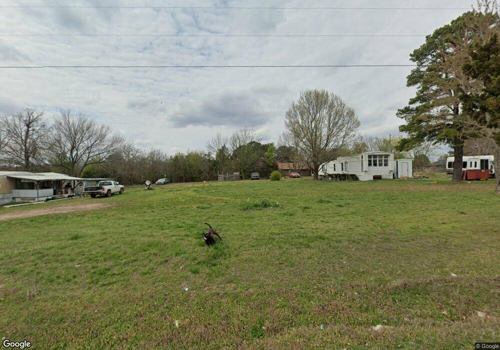
16435 N 580 Rd Tahlequah, OK 74464
Estimated Value: $62,711 - $163,000
2
Beds
1
Bath
924
Sq Ft
$123/Sq Ft
Est. Value
About This Home
This home is located at 16435 N 580 Rd, Tahlequah, OK 74464 and is currently estimated at $113,678, approximately $123 per square foot. 16435 N 580 Rd is a home located in Cherokee County with nearby schools including Briggs Public School and Boudinot Christian School.
Ownership History
Date
Name
Owned For
Owner Type
Purchase Details
Closed on
Mar 13, 2023
Sold by
Fouts Thomas B
Bought by
Fouts Thomas B
Current Estimated Value
Purchase Details
Closed on
Aug 26, 2016
Sold by
Willhite Charles Fausten and Willhite Susan Kay
Bought by
Fouts Thomas
Home Financials for this Owner
Home Financials are based on the most recent Mortgage that was taken out on this home.
Original Mortgage
$23,228
Interest Rate
3.42%
Mortgage Type
Future Advance Clause Open End Mortgage
Purchase Details
Closed on
Aug 2, 2006
Sold by
Wheeler Ron and Wheeler Wilma
Bought by
Willhite Fausten and Willhite Susan
Create a Home Valuation Report for This Property
The Home Valuation Report is an in-depth analysis detailing your home's value as well as a comparison with similar homes in the area
Home Values in the Area
Average Home Value in this Area
Purchase History
| Date | Buyer | Sale Price | Title Company |
|---|---|---|---|
| Fouts Thomas B | -- | -- | |
| Fouts Thomas | $25,000 | None Available | |
| Willhite Fausten | $25,000 | Cherokee Capitol Closing Ser |
Source: Public Records
Mortgage History
| Date | Status | Borrower | Loan Amount |
|---|---|---|---|
| Previous Owner | Fouts Thomas | $23,228 |
Source: Public Records
Tax History Compared to Growth
Tax History
| Year | Tax Paid | Tax Assessment Tax Assessment Total Assessment is a certain percentage of the fair market value that is determined by local assessors to be the total taxable value of land and additions on the property. | Land | Improvement |
|---|---|---|---|---|
| 2025 | $58 | $738 | $231 | $507 |
| 2024 | $58 | $703 | $220 | $483 |
| 2023 | $58 | $604 | $446 | $158 |
| 2022 | $52 | $604 | $446 | $158 |
| 2021 | $48 | $604 | $446 | $158 |
| 2020 | $48 | $604 | $446 | $158 |
| 2019 | $50 | $623 | $446 | $177 |
| 2018 | $51 | $623 | $446 | $177 |
| 2017 | $50 | $617 | $440 | $177 |
| 2016 | $51 | $617 | $440 | $177 |
| 2015 | $48 | $691 | $440 | $251 |
| 2014 | $48 | $691 | $440 | $251 |
Source: Public Records
Map
Nearby Homes
- 17022 S 579 Rd
- 24500 E 741 Rd
- 23244 E 754 Rd
- 81134 S 4720 Rd
- 81118 S 4725 Rd
- 8147 N 544 Rd
- 469581 E 815 Rd
- 25182 E 770 Rd
- 14554 N 603 Rd
- 0 S Cary Ln
- 22678 Sunrise Ridge Dr
- 26986 Highway 51
- 0 Alder Way
- 202 Alder Way
- 206 Alder Way
- 912 Summit Ridge Ct
- 16527 N Highway 10
- 461685 E 770 Rd
- 105 Summit Ridge Dr
- 0000 E Salvation Rd