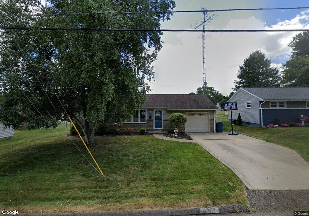
1644 Spangler Rd NE Canton, OH 44714
Colonial Heights NeighborhoodEstimated Value: $148,931 - $175,000
3
Beds
2
Baths
912
Sq Ft
$172/Sq Ft
Est. Value
About This Home
This home is located at 1644 Spangler Rd NE, Canton, OH 44714 and is currently estimated at $156,733, approximately $171 per square foot. 1644 Spangler Rd NE is a home located in Stark County with nearby schools including Frazer Elementary School, Glenwood Intermediate School, and GlenOak High School.
Ownership History
Date
Name
Owned For
Owner Type
Purchase Details
Closed on
May 17, 2007
Sold by
Schroeder Gerald Kenneth and Schroeder Edith P
Bought by
Flock Nicholas P and Flock Autumn A
Current Estimated Value
Home Financials for this Owner
Home Financials are based on the most recent Mortgage that was taken out on this home.
Original Mortgage
$107,900
Interest Rate
6.21%
Mortgage Type
Purchase Money Mortgage
Create a Home Valuation Report for This Property
The Home Valuation Report is an in-depth analysis detailing your home's value as well as a comparison with similar homes in the area
Home Values in the Area
Average Home Value in this Area
Purchase History
| Date | Buyer | Sale Price | Title Company |
|---|---|---|---|
| Flock Nicholas P | $107,900 | None Available |
Source: Public Records
Mortgage History
| Date | Status | Borrower | Loan Amount |
|---|---|---|---|
| Closed | Flock Nicholas P | $107,900 |
Source: Public Records
Tax History
| Year | Tax Paid | Tax Assessment Tax Assessment Total Assessment is a certain percentage of the fair market value that is determined by local assessors to be the total taxable value of land and additions on the property. | Land | Improvement |
|---|---|---|---|---|
| 2025 | -- | $47,220 | $9,700 | $37,520 |
| 2024 | -- | $47,220 | $9,700 | $37,520 |
| 2023 | $1,594 | $34,200 | $4,940 | $29,260 |
| 2022 | $1,603 | $34,200 | $4,940 | $29,260 |
| 2021 | $1,611 | $34,200 | $4,940 | $29,260 |
| 2020 | $1,513 | $29,230 | $4,270 | $24,960 |
| 2019 | $1,500 | $29,230 | $4,270 | $24,960 |
Source: Public Records
Map
Nearby Homes
- 1642 27th St NE
- 1331 Spangler St NE
- 2315 Maple Ave NE
- 1115 Colonial Blvd NE
- 1610 23rd St NE
- 1624 34th St NE
- 1218 24th St NE
- 2219 Rowland Ave NE
- 910 Milford St NE
- 0 Dover Ave NE
- 1227 33rd St NE
- 2015 Gross Ave NE
- 0 Rowland Ave NE Unit 5089960
- 709 29th St NE
- 2111 21st St NE
- 2328 26th St NE
- 1416 19th St NE
- 1607 18th St NE
- 2322 21st St NE
- 1624 May Place NE
- 1638 Spangler Rd NE
- 1650 Spangler Rd NE
- 2911 Maple Ave NE
- 2911 Maple Ave NE
- 2911 Maple Ave NE
- 1630 Spangler Rd NE
- 2901 Maple Ave NE
- 1645 Spangler Rd NE
- 1649 Spangler Rd NE
- 1637 Spangler Rd NE
- 1655 Spangler Rd NE
- 1622 Spangler Rd NE
- 1629 Spangler Rd NE
- 1703 Spangler Rd NE
- 1707 Spangler Rd NE
- 2943 Maple Ave NE
- 1616 Spangler Rd NE
- 2938 Maple Ave NE
- 1617 Spangler Rd NE
- 2851 Maple Ave NE
Your Personal Tour Guide
Ask me questions while you tour the home.