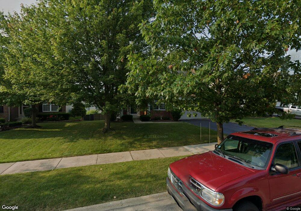
16441 Cagwin Dr Unit 2 Lockport, IL 60441
Estimated Value: $401,135 - $475,000
Studio
--
Bath
2,314
Sq Ft
$192/Sq Ft
Est. Value
About This Home
This home is located at 16441 Cagwin Dr Unit 2, Lockport, IL 60441 and is currently estimated at $444,534, approximately $192 per square foot. 16441 Cagwin Dr Unit 2 is a home located in Will County with nearby schools including William J. Butler, Hadley Middle School, and Homer Jr High School.
Ownership History
Date
Name
Owned For
Owner Type
Purchase Details
Closed on
Feb 11, 2003
Sold by
The Ryland Group Inc
Bought by
Kelly Sean C and Kelly Jean M
Current Estimated Value
Home Financials for this Owner
Home Financials are based on the most recent Mortgage that was taken out on this home.
Original Mortgage
$203,259
Outstanding Balance
$87,749
Interest Rate
6.06%
Mortgage Type
Purchase Money Mortgage
Estimated Equity
$356,785
Create a Home Valuation Report for This Property
The Home Valuation Report is an in-depth analysis detailing your home's value as well as a comparison with similar homes in the area
Home Values in the Area
Average Home Value in this Area
Purchase History
| Date | Buyer | Sale Price | Title Company |
|---|---|---|---|
| Kelly Sean C | $254,500 | -- |
Source: Public Records
Mortgage History
| Date | Status | Borrower | Loan Amount |
|---|---|---|---|
| Open | Kelly Sean C | $203,259 |
Source: Public Records
Tax History
| Year | Tax Paid | Tax Assessment Tax Assessment Total Assessment is a certain percentage of the fair market value that is determined by local assessors to be the total taxable value of land and additions on the property. | Land | Improvement |
|---|---|---|---|---|
| 2024 | $10,451 | $127,344 | $28,592 | $98,752 |
| 2023 | $10,451 | $115,431 | $25,917 | $89,514 |
| 2022 | $9,577 | $107,779 | $24,199 | $83,580 |
| 2021 | $9,143 | $102,112 | $22,927 | $79,185 |
| 2020 | $9,107 | $98,354 | $22,083 | $76,271 |
| 2019 | $8,762 | $94,617 | $21,244 | $73,373 |
| 2018 | $8,264 | $88,249 | $15,717 | $72,532 |
| 2017 | $8,135 | $85,779 | $15,277 | $70,502 |
| 2016 | $7,956 | $82,919 | $14,768 | $68,151 |
| 2015 | $7,626 | $79,807 | $14,214 | $65,593 |
| 2014 | $7,626 | $76,543 | $13,920 | $62,623 |
| 2013 | $7,626 | $76,543 | $13,920 | $62,623 |
Source: Public Records
Map
Nearby Homes
- 17543 S Gilbert Dr
- 16414 Willow Walk Dr
- 17656 S Gilbert Dr
- 15880 W Bruce Rd
- 17440 Yakima Dr
- 17437 Yakima Dr
- 16510 Teton Dr
- 16440 W Cottonwood Dr
- 16704 W Natoma Dr
- 16731 W Natoma Dr
- 16738 W Natoma Dr
- 16125-45 Bruce Rd
- 17259 Long Bow Dr
- 15959 Prairie View Ct Unit T6
- 15949 Prairie View Ct Unit T5
- 14847 S Hillside Dr
- 14845 S Hillside Dr
- 14805 S Hillside Dr
- 14801 S Hillside Dr
- 16007 W Bruce Rd
- 16435 Cagwin Dr Unit 2
- 16447 Cagwin Dr Unit 2
- 16434 Lanfear Dr
- 16428 Lanfear Dr
- 16453 Cagwin Dr Unit 2
- 16429 Cagwin Dr
- 16444 Lanfear Dr
- 16422 Lanfear Dr
- 16450 Lanfear Dr
- 16459 Cagwin Dr Unit 2
- 16423 Cagwin Dr
- 16456 Lanfear Dr Unit 2
- 16416 Lanfear Dr
- 16410 Lanfear Dr
- 16465 Cagwin Dr
- 16462 Lanfear Dr Unit 2
- 16417 Cagwin Dr
- 16437 Lanfear Dr Unit 2
- 16431 Lanfear Dr
- 16443 Lanfear Dr Unit 2
Your Personal Tour Guide
Ask me questions while you tour the home.