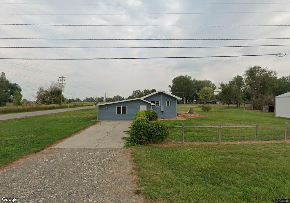
1645 Date St Huntley, MT 59037
Huntley NeighborhoodEstimated Value: $292,706 - $390,000
3
Beds
2
Baths
1,988
Sq Ft
$166/Sq Ft
Est. Value
About This Home
This home is located at 1645 Date St, Huntley, MT 59037 and is currently estimated at $329,177, approximately $165 per square foot. 1645 Date St is a home located in Yellowstone County with nearby schools including Huntley Project Elementary School, Huntley Project Junior High School, and Huntley Project High School.
Ownership History
Date
Name
Owned For
Owner Type
Purchase Details
Closed on
Oct 31, 2025
Sold by
Bartram Family Trust and Bartram John J
Bought by
Werk John A
Current Estimated Value
Home Financials for this Owner
Home Financials are based on the most recent Mortgage that was taken out on this home.
Original Mortgage
$160,000
Outstanding Balance
$160,000
Interest Rate
6.26%
Mortgage Type
Seller Take Back
Estimated Equity
$169,177
Purchase Details
Closed on
Dec 23, 2021
Sold by
Mueller Timothy J and Estate Of Timothy J Mueller
Bought by
Bartram Angela S and Bartram John J
Purchase Details
Closed on
Nov 4, 2004
Sold by
Secretary Of Veterans Affairs
Bought by
Kopp Kimberly J and Mueller Timothy James
Create a Home Valuation Report for This Property
The Home Valuation Report is an in-depth analysis detailing your home's value as well as a comparison with similar homes in the area
Home Values in the Area
Average Home Value in this Area
Purchase History
| Date | Buyer | Sale Price | Title Company |
|---|---|---|---|
| Werk John A | -- | None Listed On Document | |
| Bartram Angela S | -- | None Available | |
| Kopp Kimberly J | -- | None Available |
Source: Public Records
Mortgage History
| Date | Status | Borrower | Loan Amount |
|---|---|---|---|
| Open | Werk John A | $160,000 |
Source: Public Records
Tax History
| Year | Tax Paid | Tax Assessment Tax Assessment Total Assessment is a certain percentage of the fair market value that is determined by local assessors to be the total taxable value of land and additions on the property. | Land | Improvement |
|---|---|---|---|---|
| 2025 | $1,588 | $275,700 | $44,735 | $230,965 |
| 2024 | $1,588 | $264,700 | $44,724 | $219,976 |
| 2023 | $1,935 | $264,700 | $44,724 | $219,976 |
| 2022 | $1,450 | $191,500 | $0 | $0 |
| 2021 | $1,416 | $177,000 | $0 | $0 |
| 2020 | $1,377 | $169,600 | $0 | $0 |
| 2019 | $1,341 | $169,600 | $0 | $0 |
| 2018 | $1,328 | $157,300 | $0 | $0 |
| 2017 | $1,119 | $157,300 | $0 | $0 |
| 2016 | $1,218 | $162,100 | $0 | $0 |
| 2015 | $1,312 | $162,100 | $0 | $0 |
| 2014 | $1,081 | $70,172 | $0 | $0 |
Source: Public Records
Map
Nearby Homes
- 0000 Florian Ave
- 1794 N 4th Rd
- 6610 S 12th St
- 0 SHepherd Road lot Shepherd Rd
- 0 Shepherd Road Lot Shepherd Rd
- 1266 Chipper Ln
- 1251 Chipper Ln
- 1246 Chipper Ln
- 1191 Chipper Ln
- 7729 Buckskin Dr
- 5430 Cerkoney Ln
- 6447 US Highway 312
- 3335 White Buffalo Rd
- 581 Squaw Creek Rd
- 5652 Bengston Rd
- 8020 Wade St
- 7340 Wild Game Trail
- 6835 Eagle Bend Blvd
- 7420 Whitetail Run
- 4142 McGirl Rd
Your Personal Tour Guide
Ask me questions while you tour the home.