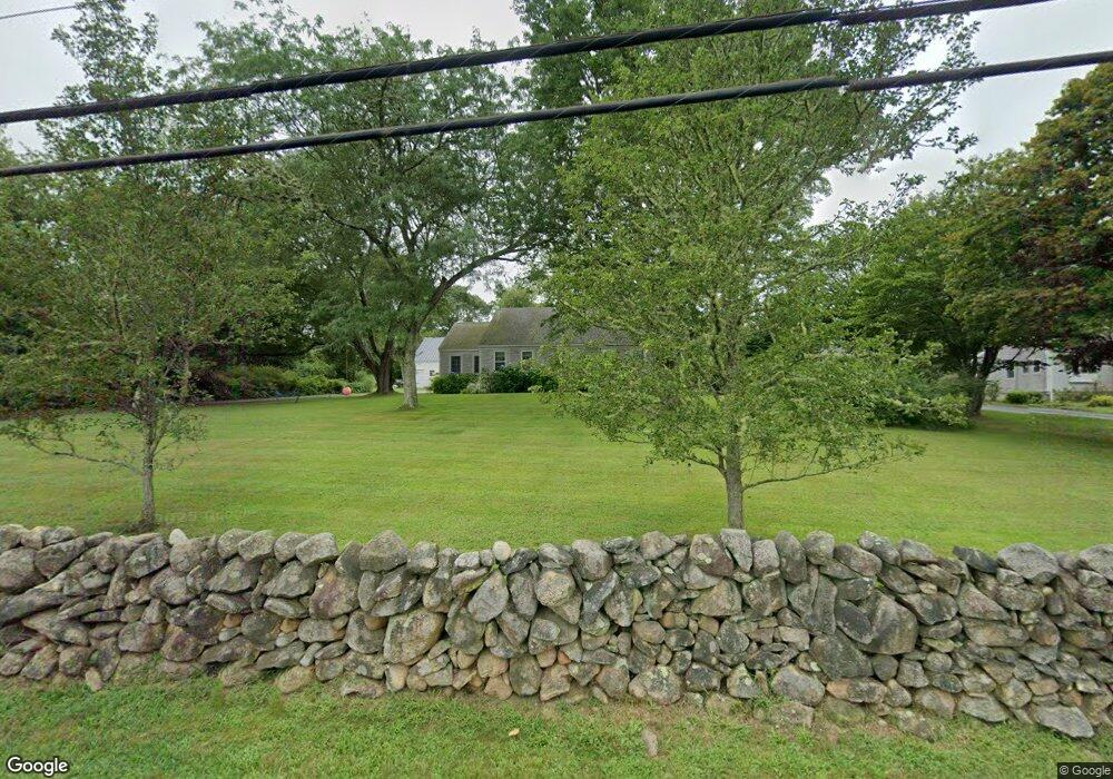
1645 Drift Rd Westport, MA 02790
Westport Point NeighborhoodEstimated Value: $664,000 - $1,133,000
2
Beds
2
Baths
2,170
Sq Ft
$418/Sq Ft
Est. Value
About This Home
This home is located at 1645 Drift Rd, Westport, MA 02790 and is currently estimated at $906,825, approximately $417 per square foot. 1645 Drift Rd is a home located in Bristol County with nearby schools including Alice A. Macomber Primary School, Westport Elementary School, and Westport Middle-High School.
Ownership History
Date
Name
Owned For
Owner Type
Purchase Details
Closed on
Aug 1, 2001
Sold by
Stevenson Patricia
Bought by
Gifford Bruce U and Gifford Sarah A
Current Estimated Value
Home Financials for this Owner
Home Financials are based on the most recent Mortgage that was taken out on this home.
Original Mortgage
$213,300
Interest Rate
7.14%
Mortgage Type
Purchase Money Mortgage
Create a Home Valuation Report for This Property
The Home Valuation Report is an in-depth analysis detailing your home's value as well as a comparison with similar homes in the area
Home Values in the Area
Average Home Value in this Area
Purchase History
| Date | Buyer | Sale Price | Title Company |
|---|---|---|---|
| Gifford Bruce U | $219,900 | -- |
Source: Public Records
Mortgage History
| Date | Status | Borrower | Loan Amount |
|---|---|---|---|
| Open | Gifford Bruce U | $230,000 | |
| Closed | Gifford Bruce U | $209,217 | |
| Closed | Gifford Bruce U | $213,300 |
Source: Public Records
Tax History Compared to Growth
Tax History
| Year | Tax Paid | Tax Assessment Tax Assessment Total Assessment is a certain percentage of the fair market value that is determined by local assessors to be the total taxable value of land and additions on the property. | Land | Improvement |
|---|---|---|---|---|
| 2025 | $5,852 | $785,500 | $399,600 | $385,900 |
| 2024 | $5,430 | $702,500 | $370,200 | $332,300 |
| 2023 | $5,533 | $678,100 | $352,600 | $325,500 |
| 2022 | $3,901 | $597,300 | $352,600 | $244,700 |
| 2021 | $5,291 | $452,600 | $266,100 | $186,500 |
| 2020 | $3,726 | $442,000 | $255,500 | $186,500 |
| 2019 | $3,959 | $478,700 | $301,900 | $176,800 |
| 2018 | $4,156 | $366,700 | $224,800 | $141,900 |
| 2017 | $3,088 | $387,400 | $243,300 | $144,100 |
| 2016 | $3,185 | $402,700 | $264,200 | $138,500 |
| 2015 | $3,008 | $379,300 | $245,700 | $133,600 |
Source: Public Records
Map
Nearby Homes
- 1702J Drift Rd
- 1702 Drift Rd
- 1580 Main Rd
- 1881 Main Rd
- 99 Sylvia Ln
- 1346 Main Rd Unit B
- 0 Reed Rd (Ss)
- 225 Hixbridge Rd
- 920 Drift Rd
- Lot 2 Horseneck Rd
- 19 Seabury Ln
- 101 Adamsville Rd
- 2 Slades Farm Ln
- 837 Main Road & Lot 2
- 837 Main Rd
- 17 Quail Trail
- Lot 2E Horseneck Rd
- 238-242 E Beach Rd
- 8 Village Way
- 7 Village Way
- 1635 Drift Rd
- 1651 Drift Rd
- 1642 Drift Rd
- 1625 Drift Rd
- 1659 Drift Rd
- 5 Julius Way
- 1614 Drift Rd Unit A
- 1614 Drift Rd
- 1614 Drift Rd Unit 1614A
- 1614A Drift Rd Unit 1614A
- 1617 Drift Rd
- 1665 Drift Rd
- 1660 Drift Rd
- 1681 Drift Rd
- 1670 Drift Rd
- 1610 Drift Rd
- 63 Julius Way
- 1676 Drift Rd
- 10 Julius Way
- 2 Clyde's Way