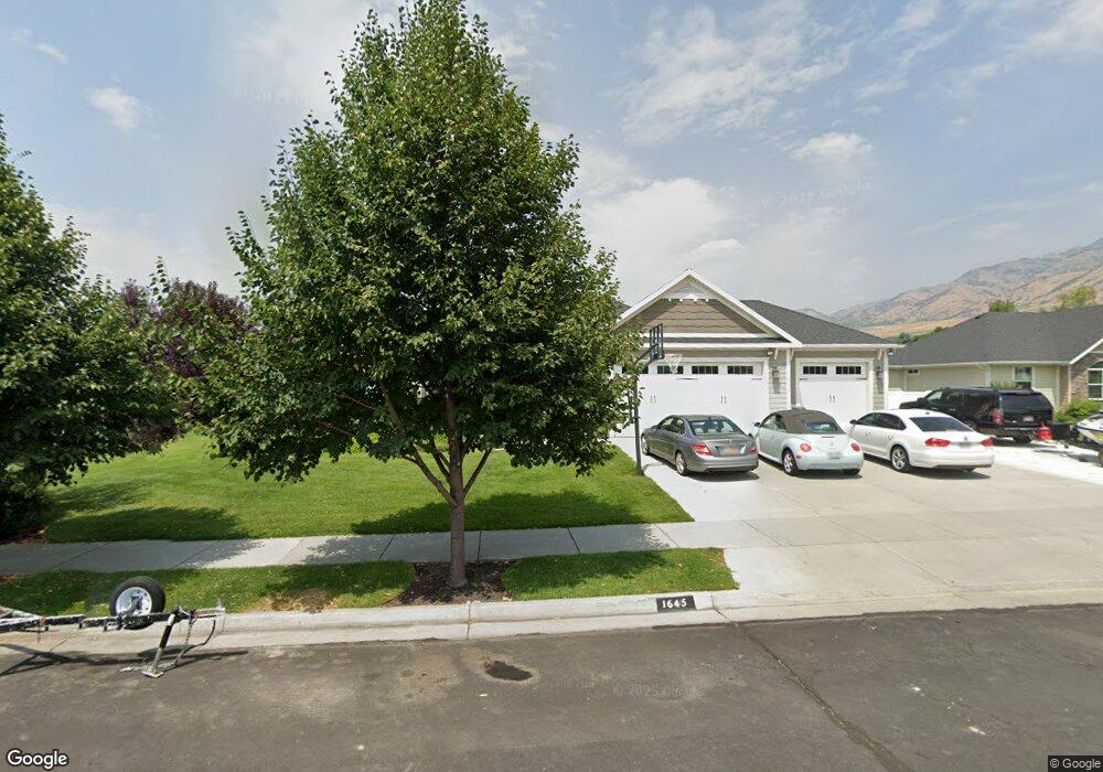
1645 E 2450 N Unit 1 North Logan, UT 84341
Estimated Value: $737,000 - $926,000
--
Bed
--
Bath
2,336
Sq Ft
$358/Sq Ft
Est. Value
About This Home
This home is located at 1645 E 2450 N Unit 1, North Logan, UT 84341 and is currently estimated at $835,175, approximately $357 per square foot. 1645 E 2450 N Unit 1 is a home located in Cache County with nearby schools including Greenville School, Cedar Ridge School, and Cedar Ridge Middle School.
Ownership History
Date
Name
Owned For
Owner Type
Purchase Details
Closed on
Jul 11, 2014
Sold by
Sierra Homes Construction Inc
Bought by
Dodson Eric
Current Estimated Value
Home Financials for this Owner
Home Financials are based on the most recent Mortgage that was taken out on this home.
Original Mortgage
$374,700
Outstanding Balance
$283,604
Interest Rate
4.07%
Mortgage Type
New Conventional
Estimated Equity
$551,571
Purchase Details
Closed on
Aug 2, 2013
Sold by
Canyon Gates Development Llc
Bought by
Sierra Homes Construction Inc
Home Financials for this Owner
Home Financials are based on the most recent Mortgage that was taken out on this home.
Original Mortgage
$180,000
Interest Rate
10%
Mortgage Type
Purchase Money Mortgage
Create a Home Valuation Report for This Property
The Home Valuation Report is an in-depth analysis detailing your home's value as well as a comparison with similar homes in the area
Home Values in the Area
Average Home Value in this Area
Purchase History
| Date | Buyer | Sale Price | Title Company |
|---|---|---|---|
| Dodson Eric | -- | Northern Title Company | |
| Sierra Homes Construction Inc | -- | Cache Title Logan |
Source: Public Records
Mortgage History
| Date | Status | Borrower | Loan Amount |
|---|---|---|---|
| Open | Dodson Eric | $374,700 | |
| Previous Owner | Sierra Homes Construction Inc | $180,000 |
Source: Public Records
Tax History Compared to Growth
Tax History
| Year | Tax Paid | Tax Assessment Tax Assessment Total Assessment is a certain percentage of the fair market value that is determined by local assessors to be the total taxable value of land and additions on the property. | Land | Improvement |
|---|---|---|---|---|
| 2025 | $3,579 | $501,005 | $0 | $0 |
| 2024 | $38 | $489,645 | $0 | $0 |
| 2023 | $3,920 | $477,795 | $0 | $0 |
| 2022 | $4,103 | $477,895 | $0 | $0 |
| 2021 | $3,807 | $686,588 | $129,400 | $557,188 |
| 2020 | $3,631 | $613,912 | $129,400 | $484,512 |
| 2019 | $3,802 | $613,912 | $129,400 | $484,512 |
| 2018 | $3,210 | $503,300 | $70,700 | $432,600 |
| 2017 | $3,217 | $265,485 | $0 | $0 |
| 2016 | $3,267 | $228,085 | $0 | $0 |
| 2015 | $2,817 | $228,085 | $0 | $0 |
| 2014 | $853 | $70,700 | $0 | $0 |
| 2013 | -- | $70,650 | $0 | $0 |
Source: Public Records
Map
Nearby Homes
- 945 N 1600 E
- 1491 E 2300 N
- 1495 E 2300 N
- 1335 E 2300 N
- 2025 N 1550 E
- 3057 N 1200 E
- 3073 N 1200 E Unit 3
- 1872 N 1850 E
- 1901 N 1380 E
- 1593 N 110 W Unit 201
- 611 E 2450 N Unit 1
- 1593 N 110 W Unit 202
- 1593 N 110 W Unit 204
- 1593 N 110 W Unit 203
- 1200 W 1400 N
- 2950 N Mahogony Valley Rd E Unit 7
- 1598 N Sharptail Cir
- 1000 W 2500 N
- 2887 View Crest Cir
- 2894 N Viewcrest Cir
- 1657 E 2450 N Unit 2
- 2449 N 1650 E
- 2445 N 1600 E
- 1589 E 2300 N
- 1669 E 2450 N Unit 3
- 1660 E 2450 N Unit 11
- 1675 E 2450 N Unit 4
- 2455 N 1600 E
- 1680 2450 N
- 1680 E 2450 N Unit 12
- 1680 E 2450 N
- 1683 E 2450 N
- 1690 E 2450 N Unit 13
- 1693 E 2450 N Unit 6
- 1693 E 2450 N
- 2485 N 1600 E
- 2485 N 1600 E
- 1688 E 2500 N
- 1699 E 2450 N Unit 7
- 1698 E 2450 N Unit 14