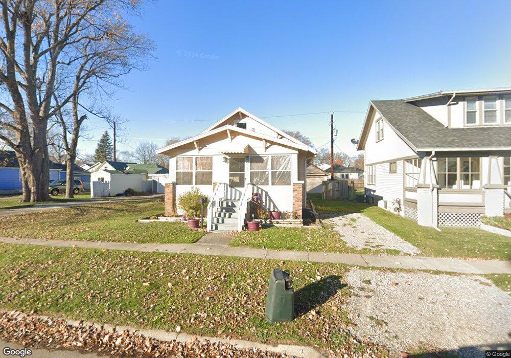
1645 Whipple St Port Huron, MI 48060
Estimated Value: $115,000 - $134,000
2
Beds
1
Bath
816
Sq Ft
$156/Sq Ft
Est. Value
About This Home
This home is located at 1645 Whipple St, Port Huron, MI 48060 and is currently estimated at $127,000, approximately $155 per square foot. 1645 Whipple St is a home located in St. Clair County with nearby schools including H.D. Crull Elementary School, Holland Woods Middle School, and Port Huron Northern High School.
Ownership History
Date
Name
Owned For
Owner Type
Purchase Details
Closed on
Sep 9, 2008
Sold by
Secretary Of Housing & Urban Development
Bought by
Mcneill Robert
Current Estimated Value
Purchase Details
Closed on
Mar 20, 2008
Sold by
Chase Home Finance Llc
Bought by
The Secretary Of Housing & Urban Develop
Purchase Details
Closed on
Sep 13, 2007
Sold by
Deacons Anita
Bought by
Chase Home Finance Llc
Create a Home Valuation Report for This Property
The Home Valuation Report is an in-depth analysis detailing your home's value as well as a comparison with similar homes in the area
Home Values in the Area
Average Home Value in this Area
Purchase History
| Date | Buyer | Sale Price | Title Company |
|---|---|---|---|
| Mcneill Robert | $21,100 | None Available | |
| The Secretary Of Housing & Urban Develop | -- | None Available | |
| Chase Home Finance Llc | $72,766 | None Available |
Source: Public Records
Tax History Compared to Growth
Tax History
| Year | Tax Paid | Tax Assessment Tax Assessment Total Assessment is a certain percentage of the fair market value that is determined by local assessors to be the total taxable value of land and additions on the property. | Land | Improvement |
|---|---|---|---|---|
| 2025 | $2,110 | $56,000 | $0 | $0 |
| 2024 | $1,648 | $52,600 | $0 | $0 |
| 2023 | $1,568 | $46,500 | $0 | $0 |
| 2022 | $1,541 | $40,300 | $0 | $0 |
| 2021 | $1,477 | $37,300 | $0 | $0 |
| 2020 | $1,432 | $34,600 | $34,600 | $0 |
| 2019 | $1,413 | $23,700 | $0 | $0 |
| 2018 | $1,383 | $23,700 | $0 | $0 |
| 2017 | $1,209 | $22,400 | $0 | $0 |
| 2016 | $1,117 | $22,400 | $0 | $0 |
| 2015 | $1,097 | $20,300 | $20,300 | $0 |
| 2014 | $1,097 | $19,500 | $19,500 | $0 |
| 2013 | -- | $19,700 | $0 | $0 |
Source: Public Records
Map
Nearby Homes
- 1620 McBrady St
- 1649 Whipple St
- 1733 Whipple St
- 1819 Riverside Dr
- 1907 Riverside Dr
- 1433 Poplar St
- 1417 Kearney St
- 0000 Campau Ave
- 29 Taylor St
- 1321 Nelson St
- 2400 Stone St Unit 2414
- 1819 Kern St
- 1825 Kern St
- 2215 Hancock St
- 917 Saint Clair St
- 146 Taylor St
- 1002 Erie St
- 1116 Hancock St
- 2419 Cherry St
- 00 Campau Ave
- 1641 Whipple St
- 1648 McBrady St
- 1640 McBrady St
- 1655 Whipple St
- 1644 McBrady St
- 1650 McBrady St
- 1635 Whipple St
- 1657 Whipple St
- 1636 McBrady St
- 1656 McBrady St
- 1627 Whipple St
- 1662 McBrady St
- 1700 McBrady St
- 1625 Whipple St
- 1646 Whipple St
- 1626 McBrady St
- 1644 Whipple St
- 1667 Whipple St
- 1650 Whipple St
- 1650 Whipple St