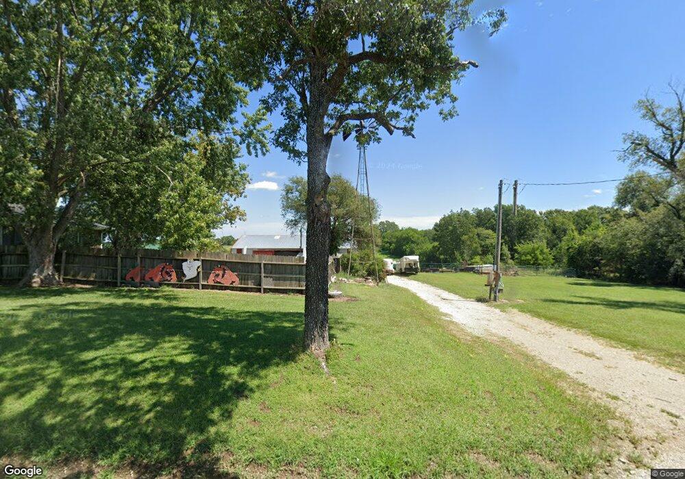
16459 Highway A Norborne, MO 64668
Estimated Value: $318,550 - $423,000
3
Beds
2
Baths
2,056
Sq Ft
$174/Sq Ft
Est. Value
About This Home
This home is located at 16459 Highway A, Norborne, MO 64668 and is currently estimated at $356,850, approximately $173 per square foot. 16459 Highway A is a home with nearby schools including Hardin-Central Elementary School and Hardin-Central High School.
Create a Home Valuation Report for This Property
The Home Valuation Report is an in-depth analysis detailing your home's value as well as a comparison with similar homes in the area
Home Values in the Area
Average Home Value in this Area
Tax History Compared to Growth
Tax History
| Year | Tax Paid | Tax Assessment Tax Assessment Total Assessment is a certain percentage of the fair market value that is determined by local assessors to be the total taxable value of land and additions on the property. | Land | Improvement |
|---|---|---|---|---|
| 2024 | $1,526 | $22,650 | $1,050 | $21,600 |
| 2023 | $1,526 | $22,650 | $1,050 | $21,600 |
| 2022 | $1,383 | $20,670 | $950 | $19,720 |
| 2021 | $1,376 | $20,670 | $950 | $19,720 |
| 2020 | $1,303 | $19,280 | $950 | $18,330 |
| 2019 | $1,302 | $19,280 | $950 | $18,330 |
| 2018 | $1,200 | $17,630 | $950 | $16,680 |
| 2017 | $1,220 | $17,630 | $950 | $16,680 |
| 2015 | -- | $17,060 | $950 | $16,110 |
| 2013 | -- | $89,016 | $4,850 | $84,166 |
| 2011 | -- | $0 | $0 | $0 |
Source: Public Records
Map
Nearby Homes
- 0 Bowen Rd
- 0 Bowen Rd Unit Lot WP001 24943651
- 0 Cowsert Dr
- 43572 Highway K
- 43222 Highway K
- 20479 D Hwy
- 43902 F Hwy
- Lot 9b Airfield Ln
- 23145 County Road 151 N A
- 300 NE 1st St
- 23145 County Rd 151
- 100 NE 2nd St
- 0 E 224th St
- 23291 Christian Rd
- 00 E 154th St
- 0 E 154th St
- 405 W 2nd St
- 206 W 4th St
- 15055 Missouri 13
- 15360 Missouri 13
