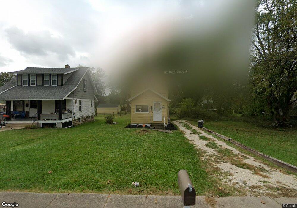
1646 Jacobs Rd Youngstown, OH 44505
McGuffey Heights NeighborhoodEstimated Value: $41,000 - $44,874
2
Beds
1
Bath
779
Sq Ft
$56/Sq Ft
Est. Value
About This Home
This home is located at 1646 Jacobs Rd, Youngstown, OH 44505 and is currently estimated at $43,291, approximately $55 per square foot. 1646 Jacobs Rd is a home located in Mahoning County with nearby schools including M.L. King Elementary School, Williamson Elementary School, and East High School.
Ownership History
Date
Name
Owned For
Owner Type
Purchase Details
Closed on
Aug 19, 2021
Sold by
Pettway Lydia
Bought by
Pettway Alexander
Current Estimated Value
Purchase Details
Closed on
Jul 17, 2014
Sold by
Wilson Charmaine D
Bought by
Pettway Lydia
Purchase Details
Closed on
Nov 21, 1984
Bought by
Day Faye
Create a Home Valuation Report for This Property
The Home Valuation Report is an in-depth analysis detailing your home's value as well as a comparison with similar homes in the area
Home Values in the Area
Average Home Value in this Area
Purchase History
| Date | Buyer | Sale Price | Title Company |
|---|---|---|---|
| Pettway Alexander | -- | None Available | |
| Pettway Lydia | $1,500 | Commonwealth Suburban Title | |
| Day Faye | -- | -- |
Source: Public Records
Tax History
| Year | Tax Paid | Tax Assessment Tax Assessment Total Assessment is a certain percentage of the fair market value that is determined by local assessors to be the total taxable value of land and additions on the property. | Land | Improvement |
|---|---|---|---|---|
| 2025 | $182 | $4,280 | $450 | $3,830 |
| 2024 | $206 | $4,280 | $450 | $3,830 |
| 2023 | $205 | $4,280 | $450 | $3,830 |
| 2022 | $129 | $2,060 | $390 | $1,670 |
| 2021 | $133 | $2,060 | $390 | $1,670 |
| 2020 | $133 | $2,060 | $390 | $1,670 |
| 2019 | $140 | $1,910 | $360 | $1,550 |
| 2018 | $164 | $1,910 | $360 | $1,550 |
| 2017 | $142 | $1,910 | $360 | $1,550 |
| 2016 | $146 | $2,170 | $360 | $1,810 |
| 2015 | $143 | $2,170 | $360 | $1,810 |
| 2014 | $3 | $2,170 | $360 | $1,810 |
| 2013 | $3 | $2,170 | $360 | $1,810 |
Source: Public Records
Map
Nearby Homes
- 1720 Jacobs Rd
- 1214 Brighton St
- 2849 McGuffey Rd
- 2051 Blair Ave
- 1251 Jacobs Rd
- 2915 Megan Cir
- V/L Jacobs Rd
- 1003 Liberty Rd
- 3786 Choice Ct
- 603 Liberty Rd
- 2526 Stocker Ave
- 6359 Sittig Ave
- 819 Lyden Ave
- 206 Beachwood Dr
- 585 Creekside Dr
- 601 Wendemere Dr
- 3700 Liberty Ave
- 1538 Republic Ave
- 3698 Buena Vista Dr
- 3516 Roseview Dr
- 1648 Jacobs Rd
- 2978 Northwood Ave
- 1638 Jacobs Rd
- 2969 Karl St
- 2974 Northwood Ave
- 2957 Karl St
- 2950 Northwood Ave
- 1628 Jacobs Rd
- 1672 Jacobs Rd
- 1671 Jacobs Rd
- 1655 Jacobs Rd
- 2964 Karl St
- 2937 Northwood Ave
- 2953 Karl St
- 1622 Jacobs Rd
- 2954 Karl St
- 1623 Jacobs Rd
- 2943 Karl St
- 1612 Jacobs Rd
- 2950 Karl St
Your Personal Tour Guide
Ask me questions while you tour the home.