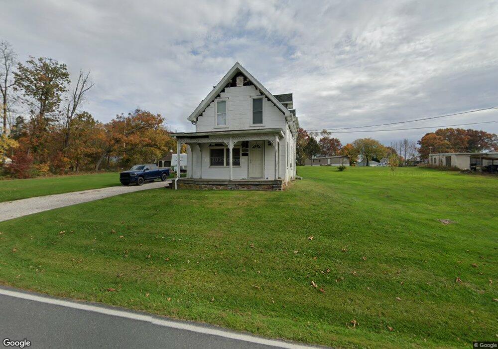
1646 Lisburn Rd Wellsville, PA 17365
Warrington Township NeighborhoodEstimated Value: $186,000 - $222,000
3
Beds
1
Bath
1,296
Sq Ft
$160/Sq Ft
Est. Value
About This Home
This home is located at 1646 Lisburn Rd, Wellsville, PA 17365 and is currently estimated at $207,313, approximately $159 per square foot. 1646 Lisburn Rd is a home located in York County with nearby schools including Northern Middle School and Northern High School.
Ownership History
Date
Name
Owned For
Owner Type
Purchase Details
Closed on
Nov 15, 1999
Sold by
Watson Larry R and Watson Kendra I
Bought by
Hess Ralph R and Hess Michelle R
Current Estimated Value
Home Financials for this Owner
Home Financials are based on the most recent Mortgage that was taken out on this home.
Original Mortgage
$71,250
Outstanding Balance
$21,636
Interest Rate
7.68%
Estimated Equity
$185,677
Purchase Details
Closed on
Dec 1, 1994
Bought by
Watson Larry R and Watson Kendra I
Create a Home Valuation Report for This Property
The Home Valuation Report is an in-depth analysis detailing your home's value as well as a comparison with similar homes in the area
Home Values in the Area
Average Home Value in this Area
Purchase History
| Date | Buyer | Sale Price | Title Company |
|---|---|---|---|
| Hess Ralph R | $75,000 | -- | |
| Watson Larry R | $52,500 | -- |
Source: Public Records
Mortgage History
| Date | Status | Borrower | Loan Amount |
|---|---|---|---|
| Open | Hess Ralph R | $71,250 |
Source: Public Records
Tax History Compared to Growth
Tax History
| Year | Tax Paid | Tax Assessment Tax Assessment Total Assessment is a certain percentage of the fair market value that is determined by local assessors to be the total taxable value of land and additions on the property. | Land | Improvement |
|---|---|---|---|---|
| 2025 | $2,384 | $87,510 | $40,340 | $47,170 |
| 2024 | $2,358 | $87,510 | $40,340 | $47,170 |
| 2023 | $2,311 | $87,510 | $40,340 | $47,170 |
| 2022 | $2,262 | $87,510 | $40,340 | $47,170 |
| 2021 | $2,114 | $87,510 | $40,340 | $47,170 |
| 2020 | $2,064 | $87,510 | $40,340 | $47,170 |
| 2019 | $2,012 | $87,510 | $40,340 | $47,170 |
| 2018 | $1,969 | $87,510 | $40,340 | $47,170 |
| 2017 | $1,969 | $87,510 | $40,340 | $47,170 |
| 2016 | $0 | $87,510 | $40,340 | $47,170 |
| 2015 | -- | $87,510 | $40,340 | $47,170 |
| 2014 | -- | $87,510 | $40,340 | $47,170 |
Source: Public Records
Map
Nearby Homes
- Tract #1 Carlisle Rd
- 0 W Camping Area Rd
- 270 S Winding Rd
- 375 Mount Zion Rd
- 138 S Peiffer Rd
- 6520 Old Carlisle Rd
- 6691 Harmony Grove Rd
- 480 Mount Airy Rd Unit 13
- 1967 Pinetown Rd
- 6200 Old Carlisle Rd
- 329 Mount Airy Rd
- 265 Pine Woods Rd
- 160 Myers Rd
- 2530 Sky Top Trail
- 22 Bentz Mill Rd
- 450 Stone Jug Rd
- 5790 Carlisle Rd
- 580 S Kralltown Rd
- 5840 Old Carlisle Rd
- 6031 Mountain Rd
- 1637 Lisburn Rd
- 1650 Lisburn Rd
- 1649 Lisburn Rd
- 1635 & 1649 Lisburn Rd
- 1635 Lisburn Rd
- 1635 Lisburn Rd
- 1655 Lisburn Rd
- 1667 Lisburn Rd
- 1659 Lisburn Rd
- 0 Lisburn Rd
- 7210 Harmony Grove Rd
- 14 Fairmont Ave
- 1669 Lisburn Rd
- 40 Fairmont Ave
- 5 York St
- 1 Carlisle Rd
- 3 York St
- 11 York St
- 1624 Lisburn Rd
- 15 York St