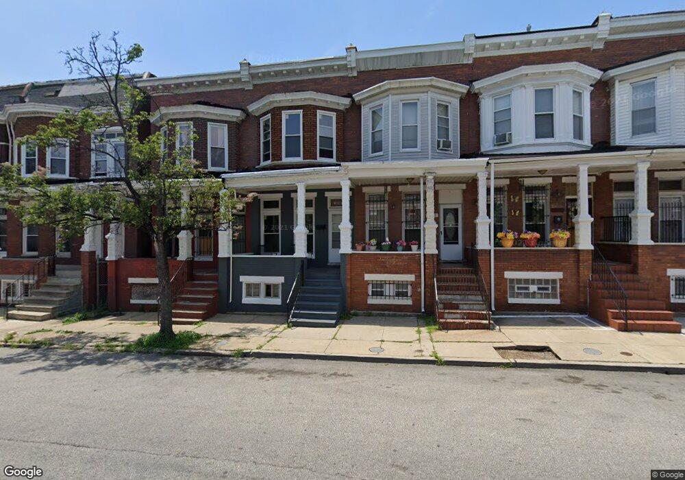
1646 Moreland Ave Baltimore, MD 21216
Coppin Heights NeighborhoodEstimated Value: $105,000 - $168,257
3
Beds
2
Baths
--
Sq Ft
1,307
Sq Ft Lot
About This Home
This home is located at 1646 Moreland Ave, Baltimore, MD 21216 and is currently estimated at $136,629. 1646 Moreland Ave is a home located in Baltimore City with nearby schools including Matthew A. Henson Elementary School, Booker T. Washington Middle School, and Frederick Douglass High School.
Ownership History
Date
Name
Owned For
Owner Type
Purchase Details
Closed on
Apr 20, 2006
Sold by
Buckson Craig
Bought by
Munsky Jason and Munsky Daphne
Current Estimated Value
Home Financials for this Owner
Home Financials are based on the most recent Mortgage that was taken out on this home.
Original Mortgage
$71,250
Outstanding Balance
$49,466
Interest Rate
10.3%
Mortgage Type
Purchase Money Mortgage
Estimated Equity
$87,163
Purchase Details
Closed on
Aug 7, 2002
Sold by
Hawkins Mary A
Bought by
Buckson Craig and Buckson Kristin
Create a Home Valuation Report for This Property
The Home Valuation Report is an in-depth analysis detailing your home's value as well as a comparison with similar homes in the area
Home Values in the Area
Average Home Value in this Area
Purchase History
| Date | Buyer | Sale Price | Title Company |
|---|---|---|---|
| Munsky Jason | $75,000 | -- | |
| Buckson Craig | $12,000 | -- |
Source: Public Records
Mortgage History
| Date | Status | Borrower | Loan Amount |
|---|---|---|---|
| Open | Munsky Jason | $71,250 |
Source: Public Records
Tax History Compared to Growth
Tax History
| Year | Tax Paid | Tax Assessment Tax Assessment Total Assessment is a certain percentage of the fair market value that is determined by local assessors to be the total taxable value of land and additions on the property. | Land | Improvement |
|---|---|---|---|---|
| 2025 | $1,113 | $50,100 | $12,000 | $38,100 |
| 2024 | $1,113 | $47,400 | $0 | $0 |
| 2023 | $1,055 | $44,700 | $0 | $0 |
| 2022 | $991 | $42,000 | $9,000 | $33,000 |
| 2021 | $928 | $39,333 | $0 | $0 |
| 2020 | $772 | $36,667 | $0 | $0 |
| 2019 | $722 | $34,000 | $7,000 | $27,000 |
| 2018 | $703 | $32,667 | $0 | $0 |
| 2017 | $681 | $31,333 | $0 | $0 |
| 2016 | $673 | $30,000 | $0 | $0 |
| 2015 | $673 | $30,000 | $0 | $0 |
| 2014 | $673 | $30,000 | $0 | $0 |
Source: Public Records
Map
Nearby Homes
- 1619 Moreland Ave
- 1632 & 1634 Moreland Ave
- 1630 Moreland Ave
- 1607 Ruxton Ave
- 1613 N Warwick Ave
- 1635 N Warwick Ave
- 1642 N Bentalou St
- 1706 N Bentalou St
- 1738 Moreland Ave
- 1722 N Bentalou St
- 1803 N Warwick Ave
- 1731 N Bentalou St
- 1606 N Smallwood St
- 1604 N Smallwood St
- 1815 N Warwick Ave
- 1702 N Smallwood St
- 1813 N Bentalou St
- 1726 N Smallwood St
- 2425 W North Ave
- 2200 Westwood Ave
- 1648 Moreland Ave
- 1644 Moreland Ave
- 1650 Moreland Ave
- 1642 Moreland Ave
- 1652 Moreland Ave
- 2401 Presbury St
- 1640 Moreland Ave
- 2403 Presbury St
- 1636 Moreland Ave
- 2405 Presbury St
- 1634 Moreland Ave
- 2407 Presbury St
- 2409 Presbury St
- 1632 Moreland Ave
- 2411 Presbury St
- 1702 Moreland Ave
- 2413 Presbury St
- 1633 Moreland Ave
- 1637 Moreland Ave
- 1635 Moreland Ave