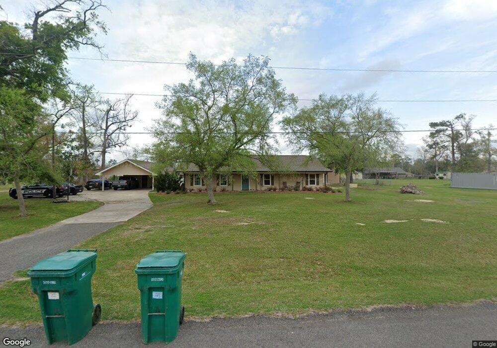
1646 Pine St Lake Charles, LA 70611
Moss Bluff NeighborhoodEstimated Value: $276,000 - $307,000
3
Beds
2
Baths
1,995
Sq Ft
$143/Sq Ft
Est. Value
About This Home
This home is located at 1646 Pine St, Lake Charles, LA 70611 and is currently estimated at $285,710, approximately $143 per square foot. 1646 Pine St is a home located in Calcasieu Parish with nearby schools including Graham & Parks Alternative Public School, Moss Bluff Elementary School, and Putnam Avenue Upper School.
Ownership History
Date
Name
Owned For
Owner Type
Purchase Details
Closed on
Sep 19, 2011
Sold by
Lambright Lindell Lee and Vollkommer Joan Marie
Bought by
Russell John Garry and Russell Brandi Lynn
Current Estimated Value
Home Financials for this Owner
Home Financials are based on the most recent Mortgage that was taken out on this home.
Original Mortgage
$184,208
Outstanding Balance
$127,164
Interest Rate
4.43%
Mortgage Type
FHA
Estimated Equity
$158,546
Create a Home Valuation Report for This Property
The Home Valuation Report is an in-depth analysis detailing your home's value as well as a comparison with similar homes in the area
Home Values in the Area
Average Home Value in this Area
Purchase History
| Date | Buyer | Sale Price | Title Company |
|---|---|---|---|
| Russell John Garry | $189,000 | None Available |
Source: Public Records
Mortgage History
| Date | Status | Borrower | Loan Amount |
|---|---|---|---|
| Open | Russell John Garry | $184,208 |
Source: Public Records
Tax History Compared to Growth
Tax History
| Year | Tax Paid | Tax Assessment Tax Assessment Total Assessment is a certain percentage of the fair market value that is determined by local assessors to be the total taxable value of land and additions on the property. | Land | Improvement |
|---|---|---|---|---|
| 2024 | $1,446 | $21,740 | $3,780 | $17,960 |
| 2023 | $1,531 | $21,740 | $3,780 | $17,960 |
| 2022 | $1,505 | $21,740 | $3,780 | $17,960 |
| 2021 | $1,579 | $21,740 | $3,780 | $17,960 |
| 2020 | $2,155 | $19,790 | $3,630 | $16,160 |
| 2019 | $2,345 | $21,460 | $3,500 | $17,960 |
| 2018 | $1,528 | $21,460 | $3,500 | $17,960 |
| 2017 | $2,381 | $21,460 | $3,500 | $17,960 |
| 2016 | $2,347 | $21,460 | $3,500 | $17,960 |
| 2015 | $1,511 | $13,530 | $3,300 | $10,230 |
Source: Public Records
Map
Nearby Homes
- 1432 N Diamond Cir
- 1056 Forest Blvd
- 1133 Rock Creek Dr
- 0 Campfire Rd Unit SWL24006433
- 1442 Campfire Rd
- 1306 Woodland Trail
- 945 Tanglewood Dr
- 915 Tanglewood Dr
- 0 Goos Rd Unit SWL25003314
- 0 Goos Rd Unit SWL24003153
- 2811 Goos Rd
- 4 Camelia Ct
- 0 Camellia Ct Unit SWL25002927
- Rochelle V H Plan at Porter's Cove
- Cognac V G Plan at Porter's Cove
- Ripley V G Plan at Porter's Cove
- Ripley V H Plan at Porter's Cove
- Croydon IV H Plan at Porter's Cove
- Rayleigh IV G Plan at Porter's Cove
- Ramsey V G Plan at Porter's Cove
- 1678 Pine St
- 1182 Willow Dr
- 1647 Cherry St
- 1651 Pine St
- 1619 Cherry St
- 1681 Cherry St
- 1679 Pine St
- 1166 Willow Dr
- 1189 Pin Oak Dr
- 1713 Cherry St
- 1201 Willow Dr
- 1646 Cherry St
- 0 Pin Oak Willow Dr Unit 117584
- 0 Willow Dr
- 1171 Willow Dr
- 1157 Pin Oak Dr
- 1636 Campfire Rd
- 1616 Cherry St
- 1676 Cherry St
- 1666 Campfire Rd