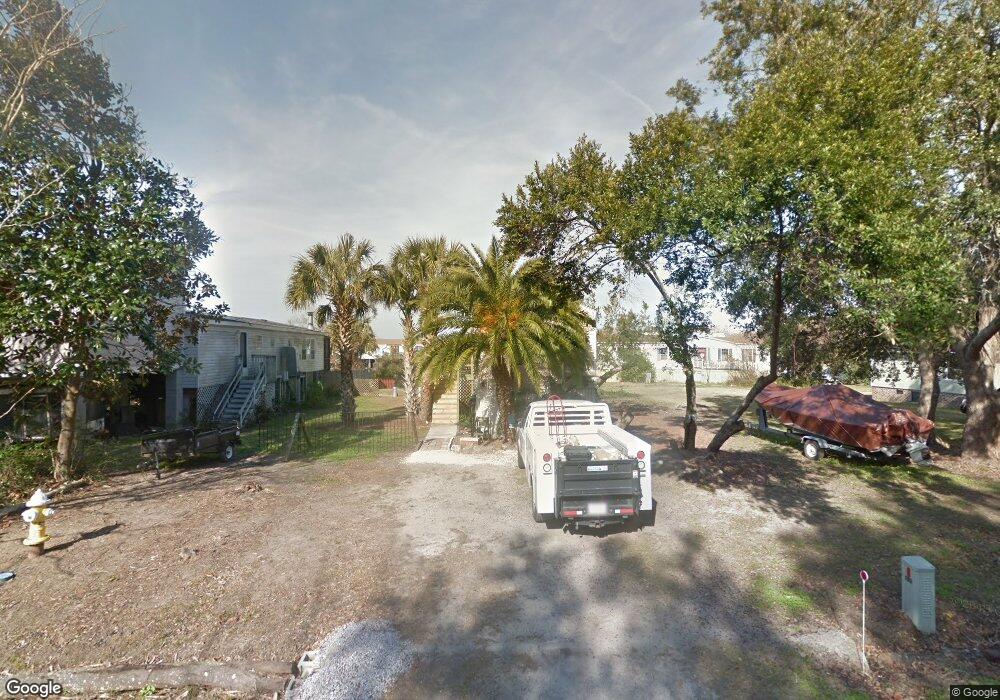
1646 Terns Nest Rd Charleston, SC 29412
James Island NeighborhoodEstimated Value: $253,000 - $481,000
3
Beds
2
Baths
1,036
Sq Ft
$323/Sq Ft
Est. Value
About This Home
This home is located at 1646 Terns Nest Rd, Charleston, SC 29412 and is currently estimated at $334,719, approximately $323 per square foot. 1646 Terns Nest Rd is a home located in Charleston County with nearby schools including James Island Elementary School, Camp Road Middle, and Septima P Clark Corporate Academy.
Ownership History
Date
Name
Owned For
Owner Type
Purchase Details
Closed on
Oct 24, 2022
Sold by
Keller Paul J
Bought by
Island House 1646 Llc
Current Estimated Value
Purchase Details
Closed on
Sep 20, 2021
Sold by
Ward Hightower Joshua
Bought by
Keller Paul J and Keller Gretchen B
Purchase Details
Closed on
Dec 28, 2020
Sold by
Kieran Gerard M
Bought by
Hightower Joshua Ward
Home Financials for this Owner
Home Financials are based on the most recent Mortgage that was taken out on this home.
Original Mortgage
$135,800
Interest Rate
2.7%
Mortgage Type
Seller Take Back
Purchase Details
Closed on
Jul 28, 2000
Sold by
Harmon Samuel C
Bought by
Kieran Gerard M
Create a Home Valuation Report for This Property
The Home Valuation Report is an in-depth analysis detailing your home's value as well as a comparison with similar homes in the area
Home Values in the Area
Average Home Value in this Area
Purchase History
| Date | Buyer | Sale Price | Title Company |
|---|---|---|---|
| Island House 1646 Llc | -- | -- | |
| Keller Paul J | $165,000 | None Listed On Document | |
| Hightower Joshua Ward | $140,000 | None Available | |
| Kieran Gerard M | $89,000 | -- |
Source: Public Records
Mortgage History
| Date | Status | Borrower | Loan Amount |
|---|---|---|---|
| Previous Owner | Hightower Joshua Ward | $135,800 |
Source: Public Records
Tax History Compared to Growth
Tax History
| Year | Tax Paid | Tax Assessment Tax Assessment Total Assessment is a certain percentage of the fair market value that is determined by local assessors to be the total taxable value of land and additions on the property. | Land | Improvement |
|---|---|---|---|---|
| 2024 | $2,952 | $9,900 | $0 | $0 |
| 2023 | $2,952 | $9,900 | $0 | $0 |
| 2022 | $2,700 | $9,900 | $0 | $0 |
| 2021 | $2,295 | $8,400 | $0 | $0 |
| 2020 | $2,449 | $9,240 | $0 | $0 |
| 2019 | $2,293 | $8,040 | $0 | $0 |
| 2017 | $2,155 | $8,040 | $0 | $0 |
| 2016 | $2,086 | $8,040 | $0 | $0 |
| 2015 | $1,971 | $8,040 | $0 | $0 |
| 2014 | $1,844 | $0 | $0 | $0 |
| 2011 | -- | $0 | $0 | $0 |
Source: Public Records
Map
Nearby Homes
- 1624 Wigeon Ln
- 1617 Refuge Run
- 129 Howard Mary Dr Unit A
- 1984 Folly Rd Unit A307
- 1984 Folly Rd Unit A314
- 1984 Folly Rd Unit A202
- 118 Howard Mary Dr Unit 118B
- 1588 Terns Nest Rd
- 133 Alder Cir
- 117 Alder Cir
- 1011 Lighterman Way
- 1621 Folly Creek Way Unit D8
- 1637 Folly Creek Way Unit E12
- 1106 Studdingsail Ln
- 1109 Studdingsail Ln
- 2133 Tides End Rd
- 1821 Folly Rd
- 960 Clearspring Dr
- 1144 Clearspring Dr
- 1685 Old Military Rd
- 1648 Terns Nest Rd
- 1642 Terns Nest Rd
- 1993 Wild Wing Ln
- 1652 Terns Nest Rd
- 2003 Covey Ln
- 1991 Wild Wing Ln
- 2045 Covey Ln
- 2005 Covey Ln
- 1654 Terns Nest Rd
- 1654 Terns Nest Rd
- 1636 Terns Nest Rd
- 1669 Wading Heron Rd
- 1671 Wading Heron Rd
- 1989 Wild Wing Ln
- 2043 Covey Ln
- 2007 Covey Ln
- 95 Wild Wing Ln
- 1992 Wild Wing Ln
- 2046 Covey Ln
- 1673 Wading Heron Rd