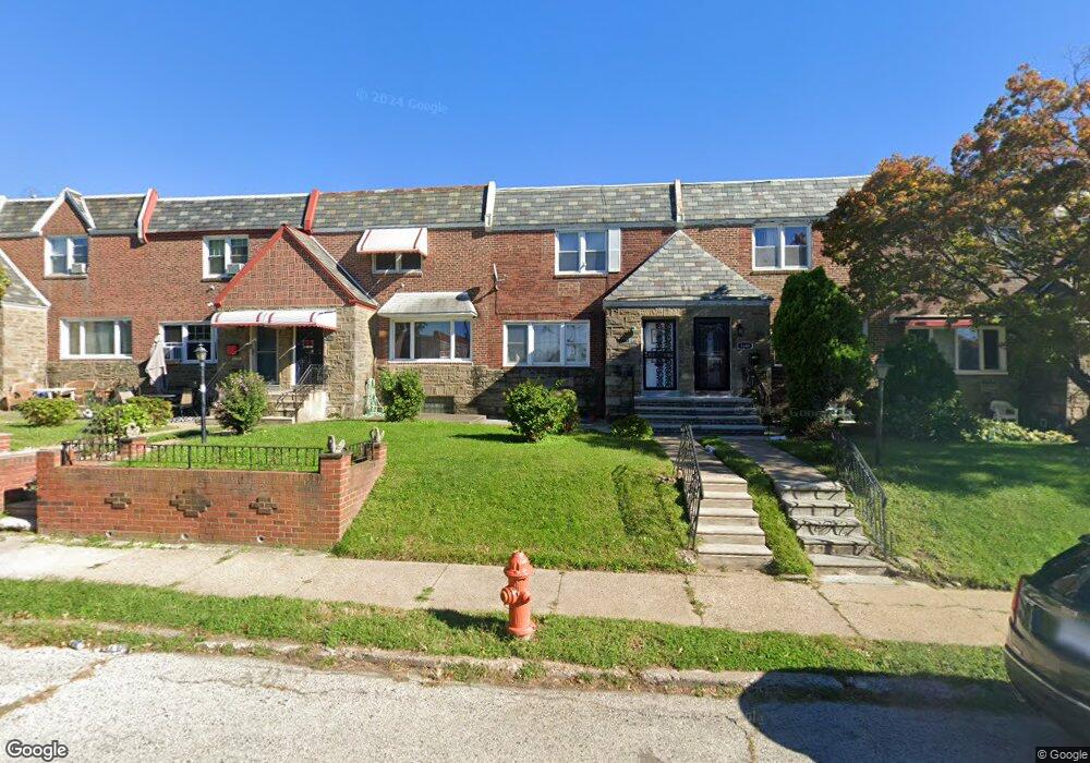
1646 Wynsam St Philadelphia, PA 19138
West Oak Lane NeighborhoodEstimated Value: $249,711 - $286,000
3
Beds
3
Baths
1,440
Sq Ft
$181/Sq Ft
Est. Value
About This Home
This home is located at 1646 Wynsam St, Philadelphia, PA 19138 and is currently estimated at $260,928, approximately $181 per square foot. 1646 Wynsam St is a home located in Philadelphia County with nearby schools including Anna B. Day School, Martin Luther King High School, and West Oak Lane Charter School.
Ownership History
Date
Name
Owned For
Owner Type
Purchase Details
Closed on
Oct 8, 2009
Sold by
Noel Mimose Jean Pierre and Pierre Mimose Jean
Bought by
Pierre Mimose Jean
Current Estimated Value
Home Financials for this Owner
Home Financials are based on the most recent Mortgage that was taken out on this home.
Original Mortgage
$80,800
Interest Rate
5.14%
Mortgage Type
New Conventional
Purchase Details
Closed on
May 6, 2005
Sold by
Conklin Joyce and Will Of James Thomas
Bought by
Noel Mimose Jean Pierre
Home Financials for this Owner
Home Financials are based on the most recent Mortgage that was taken out on this home.
Original Mortgage
$77,600
Interest Rate
5.95%
Mortgage Type
Fannie Mae Freddie Mac
Create a Home Valuation Report for This Property
The Home Valuation Report is an in-depth analysis detailing your home's value as well as a comparison with similar homes in the area
Home Values in the Area
Average Home Value in this Area
Purchase History
| Date | Buyer | Sale Price | Title Company |
|---|---|---|---|
| Pierre Mimose Jean | -- | None Available | |
| Noel Mimose Jean Pierre | $80,000 | -- |
Source: Public Records
Mortgage History
| Date | Status | Borrower | Loan Amount |
|---|---|---|---|
| Closed | Pierre Mimose Jean | $80,800 | |
| Closed | Noel Mimose Jean Pierre | $77,600 |
Source: Public Records
Tax History Compared to Growth
Tax History
| Year | Tax Paid | Tax Assessment Tax Assessment Total Assessment is a certain percentage of the fair market value that is determined by local assessors to be the total taxable value of land and additions on the property. | Land | Improvement |
|---|---|---|---|---|
| 2025 | $2,688 | $237,300 | $47,460 | $189,840 |
| 2024 | $2,688 | $237,300 | $47,460 | $189,840 |
| 2023 | $2,688 | $192,000 | $38,400 | $153,600 |
| 2022 | $1,984 | $192,000 | $38,400 | $153,600 |
| 2021 | $1,984 | $0 | $0 | $0 |
| 2020 | $1,984 | $0 | $0 | $0 |
| 2019 | $2,070 | $0 | $0 | $0 |
| 2018 | $1,874 | $0 | $0 | $0 |
| 2017 | $1,874 | $0 | $0 | $0 |
| 2016 | $1,874 | $0 | $0 | $0 |
| 2015 | $1,794 | $0 | $0 | $0 |
| 2014 | -- | $133,900 | $14,600 | $119,300 |
| 2012 | -- | $16,384 | $2,332 | $14,052 |
Source: Public Records
Map
Nearby Homes
- 1559 E Pastorius St
- 1544 E Tulpehocken St
- 1544 Beverly Rd
- 1537 Beverly Rd
- 1521 E Walnut Ln
- 7349 E Walnut Ln
- 7277 E Walnut Ln
- 1762 Mohican St
- 7243 Mansfield Ave
- 1821 E Tulpehocken St
- 1827 E Pastorius St
- 1505 Beverly Rd
- 1822 Nolan St
- 6635 Hollis St
- 1759 E Mayland St
- 1839 E Pastorius St
- 7258 Mansfield Ave
- 1416-20 E Tulpehocken St
- 1602 E Duval St
- 6661 Cornelius St