16465 Weaver Ln Rogers, AR 72756
Estimated Value: $197,879 - $315,000
--
Bed
1
Bath
512
Sq Ft
$501/Sq Ft
Est. Value
About This Home
This home is located at 16465 Weaver Ln, Rogers, AR 72756 and is currently estimated at $256,440, approximately $500 per square foot. 16465 Weaver Ln is a home located in Benton County with nearby schools including Frank Tillery Elementary School, Lingle Middle School, and Rogers Heritage High School.
Ownership History
Date
Name
Owned For
Owner Type
Purchase Details
Closed on
Aug 15, 2025
Sold by
Ingle Brett and Ingle William Brett
Bought by
Grieve David and Grieve Lisa
Current Estimated Value
Purchase Details
Closed on
Jun 10, 2005
Sold by
Cox Randy Joe and Cox Sandra K
Bought by
Ingle William Brett and Ingle Ronda L
Purchase Details
Closed on
Sep 12, 2001
Bought by
Delucci
Purchase Details
Closed on
Sep 6, 2001
Bought by
Ingle and Cox
Purchase Details
Closed on
Oct 19, 1996
Bought by
Delucci
Create a Home Valuation Report for This Property
The Home Valuation Report is an in-depth analysis detailing your home's value as well as a comparison with similar homes in the area
Home Values in the Area
Average Home Value in this Area
Purchase History
| Date | Buyer | Sale Price | Title Company |
|---|---|---|---|
| Grieve David | $475,000 | Waco Title | |
| Ingle William Brett | -- | None Available | |
| Delucci | -- | -- | |
| Ingle | $14,000 | -- | |
| Delucci | $18,000 | -- |
Source: Public Records
Tax History Compared to Growth
Tax History
| Year | Tax Paid | Tax Assessment Tax Assessment Total Assessment is a certain percentage of the fair market value that is determined by local assessors to be the total taxable value of land and additions on the property. | Land | Improvement |
|---|---|---|---|---|
| 2024 | $424 | $13,614 | $4,470 | $9,144 |
| 2023 | $385 | $8,010 | $1,410 | $6,600 |
| 2022 | $551 | $8,010 | $1,410 | $6,600 |
| 2021 | $517 | $8,010 | $1,410 | $6,600 |
| 2020 | $484 | $6,450 | $1,250 | $5,200 |
| 2019 | $484 | $6,450 | $1,250 | $5,200 |
| 2018 | $484 | $6,450 | $1,250 | $5,200 |
| 2017 | $522 | $6,450 | $1,250 | $5,200 |
| 2016 | $522 | $7,730 | $2,530 | $5,200 |
| 2015 | $456 | $9,470 | $4,040 | $5,430 |
| 2014 | $606 | $9,470 | $4,040 | $5,430 |
Source: Public Records
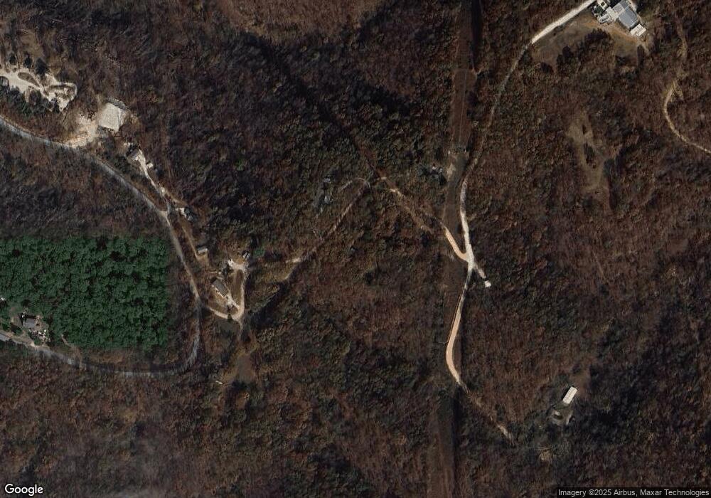
Map
Nearby Homes
- 0 Coose Hollow Ln Unit 1315828
- 11323 Coose Hollow Park
- 0 Tomahawk Unit 1292184
- 15903 Hawks Landing Dr
- 16501 Tomahawk Trail
- 11520 White Feather Rd
- 16969 Posy Mountain Rd
- 15854 Abbey Ln
- Lot 10 Hawks Nest Dr
- TBD Posy Mountain Rd
- 3AC (Tract 5) Sallie Dr
- 3.5AC (Tract 4) Sallie Dr
- 4.5AC (Tract 3) Sallie Dr
- 5AC (Tract 2) Sallie Dr
- 11499 (Tract 1) Sallie Dr
- 15425 Brightwater Crossing
- 0 Hawks Landing Dr Unit 1316911
- 10257 Broken Bow Trail
- 10043 Napa Rd
- 0 Kostner Dr Unit 1292180
- 0 Weaver Ln
- 16476 Weaver Ln
- 16433 Dogwood Valley Rd
- 10900 Coose Hollow Ln
- 10900 Coose Hollow Ln Unit 4
- Tract 8 Coose Hollow Ln
- 10954 Coose Hollow Ln
- 16315 Dogwood Valley Rd
- 8.96AC Dogwood Valley Rd
- 10815 Coose Hollow Ln
- 16619 Dogwood Valley Rd
- 11020 Coose Hollow Ln Unit A
- 11020 Coose Hollow Ln Unit 1
- 11022 Coose Hollow Ln
- 00 Coose Hollow Ln
- Tract 5 Coose Hollow Ln
- 0 Coose Hollow Ln Unit 1288719
- 0 Coose Hollow Ln Unit 1284746
- 0 Coose Hollow Ln Unit 1273465
- 0 Coose Hollow Ln Unit 1269567