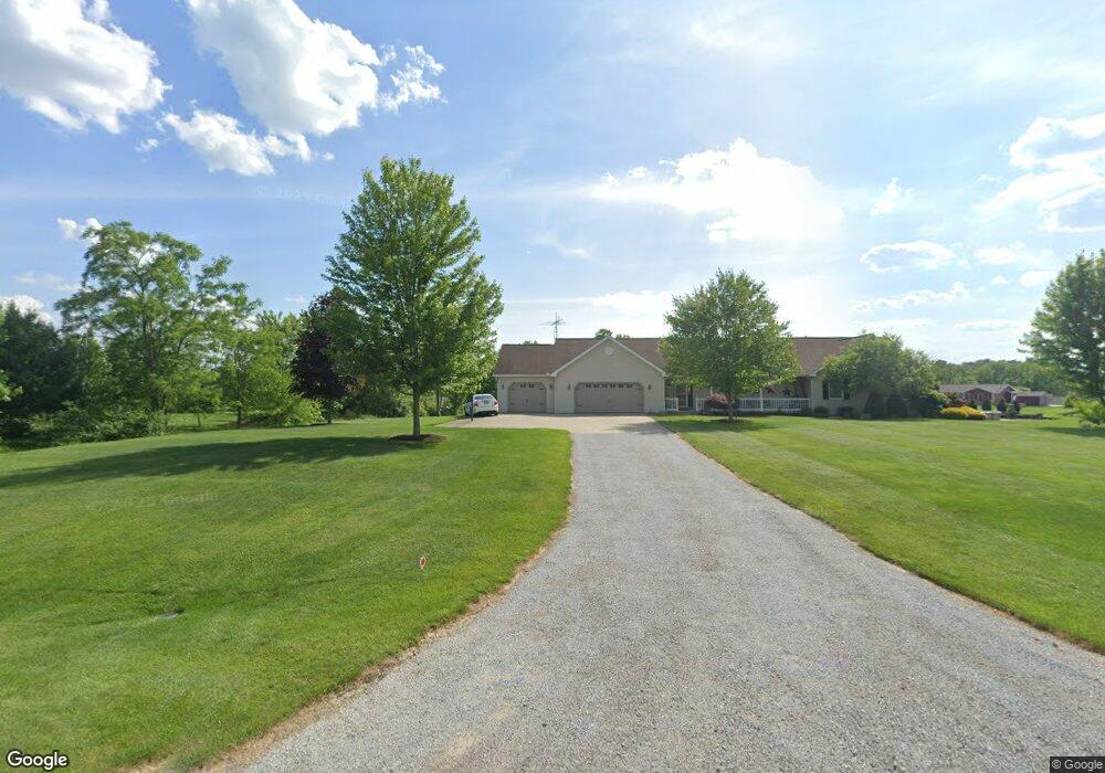
16469 Hanover Rd Orrville, OH 44667
Estimated Value: $355,000 - $440,152
3
Beds
3
Baths
1,831
Sq Ft
$221/Sq Ft
Est. Value
About This Home
This home is located at 16469 Hanover Rd, Orrville, OH 44667 and is currently estimated at $405,288, approximately $221 per square foot. 16469 Hanover Rd is a home located in Wayne County with nearby schools including Orrville Elementary School, Orrville Middle School, and Orrville High School.
Ownership History
Date
Name
Owned For
Owner Type
Purchase Details
Closed on
Apr 28, 2009
Sold by
Conley Aaron R and Conley Mollie E
Bought by
Miller Keith A and Miller Jill C
Current Estimated Value
Purchase Details
Closed on
Jun 19, 2007
Sold by
Curtis Dennis L and Curtis Sally L
Bought by
Conley Aaron R and Conley Mollie E
Home Financials for this Owner
Home Financials are based on the most recent Mortgage that was taken out on this home.
Original Mortgage
$36,720
Interest Rate
6.2%
Mortgage Type
Unknown
Create a Home Valuation Report for This Property
The Home Valuation Report is an in-depth analysis detailing your home's value as well as a comparison with similar homes in the area
Home Values in the Area
Average Home Value in this Area
Purchase History
| Date | Buyer | Sale Price | Title Company |
|---|---|---|---|
| Miller Keith A | $38,000 | Service 1St Title Agcy | |
| Conley Aaron R | $36,000 | Attorney |
Source: Public Records
Mortgage History
| Date | Status | Borrower | Loan Amount |
|---|---|---|---|
| Previous Owner | Conley Aaron R | $36,720 |
Source: Public Records
Tax History Compared to Growth
Tax History
| Year | Tax Paid | Tax Assessment Tax Assessment Total Assessment is a certain percentage of the fair market value that is determined by local assessors to be the total taxable value of land and additions on the property. | Land | Improvement |
|---|---|---|---|---|
| 2024 | $5,044 | $124,760 | $30,800 | $93,960 |
| 2023 | $5,044 | $124,760 | $30,800 | $93,960 |
| 2022 | $4,240 | $93,810 | $23,160 | $70,650 |
| 2021 | $4,351 | $93,810 | $23,160 | $70,650 |
| 2020 | $4,396 | $93,810 | $23,160 | $70,650 |
| 2019 | $3,991 | $82,280 | $16,040 | $66,240 |
| 2018 | $4,018 | $82,280 | $16,040 | $66,240 |
| 2017 | $3,813 | $77,910 | $16,040 | $61,870 |
| 2016 | $3,531 | $70,830 | $14,580 | $56,250 |
| 2015 | $3,465 | $70,830 | $14,580 | $56,250 |
| 2014 | $3,541 | $70,830 | $14,580 | $56,250 |
| 2013 | $3,620 | $70,220 | $14,990 | $55,230 |
Source: Public Records
Map
Nearby Homes
- 16201 Burton City Rd
- 16450 Church Rd
- 18060 Huprick Rd
- 18803 Church Rd
- 0 Dalton Fox Lake Rd
- 223 Tanglewood Dr
- 119 Briarwood Dr
- 29 Mill St N
- 14990 Back Massillon Rd
- 1821 Deerfield Ave N
- 209 Greenbriar Ln
- 504 Burnett Ave
- 110 NW Lebanon Rd Unit Lot 62
- 15044 Churchfield St NW
- 17867 Lincoln Way E
- V/L Burton City Rd
- 0 Wenger Rd S Unit 5164071
- 14860 Churchfield St NW
- 14844 Churchfield St NW
- 712 Homestead Pointe Dr
- 16469 Hanover Rd Unit 93
- Lot 95 Hanover Rd
- Lot 87 Hanover Rd
- 86 V/L Hanover Rd
- 0 Hanover Rd Unit 3973824
- 16469 Hanover Lot 93 Rd
- 16450 Hanover Rd
- 0 Hanover Rd Unit 3390434
- 0 Hanover Rd Unit 78297
- 0 Hanover Rd Unit 78301
- 0 Hanover Rd Unit 78309
- VL Hanover Rd
- Lot 83 Hanover Rd
- 0 Hanover Rd Unit 4168232
- 0 Hanover Rd Unit 4094452
- 16429 Hanover Rd
- 16501 Hanover Rd
- 16530 Hanover Rd
- 16361 Hanover Rd
- 0 Lot 77 York Rd Unit 78135