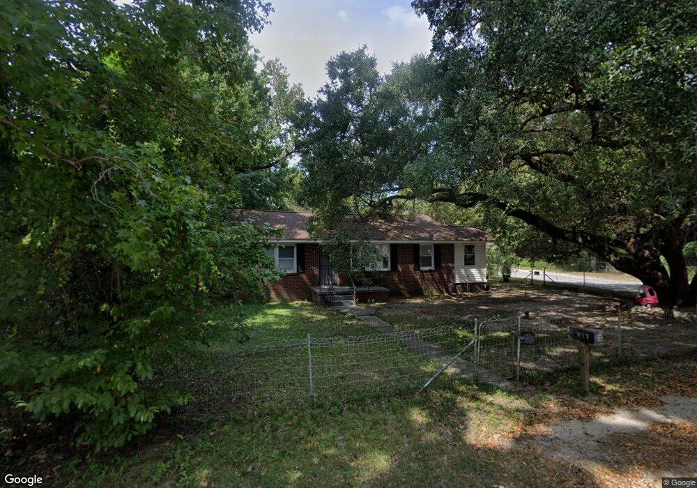
1647 Caroline Rd Columbia, SC 29209
Southeast Columbia NeighborhoodEstimated Value: $123,000 - $159,357
3
Beds
1
Bath
1,090
Sq Ft
$136/Sq Ft
Est. Value
About This Home
This home is located at 1647 Caroline Rd, Columbia, SC 29209 and is currently estimated at $148,339, approximately $136 per square foot. 1647 Caroline Rd is a home located in Richland County with nearby schools including Annie Burnside Elementary School, Crayton Middle School, and A. C. Flora High School.
Ownership History
Date
Name
Owned For
Owner Type
Purchase Details
Closed on
Jul 8, 2008
Sold by
Noriega Sarah and Gonzales Edwin
Bought by
Lipton Property Management
Current Estimated Value
Purchase Details
Closed on
Apr 4, 2007
Sold by
The Bank Of New York
Bought by
Noriega Sarah and Gonzales Edwin
Purchase Details
Closed on
Dec 14, 2006
Sold by
Strickland Joseph M
Bought by
Jpmorgan Chase Bank and Asset Backed Funding Corp Litton Loan Se
Create a Home Valuation Report for This Property
The Home Valuation Report is an in-depth analysis detailing your home's value as well as a comparison with similar homes in the area
Home Values in the Area
Average Home Value in this Area
Purchase History
| Date | Buyer | Sale Price | Title Company |
|---|---|---|---|
| Lipton Property Management | $78,000 | -- | |
| Noriega Sarah | $51,900 | None Available | |
| Jpmorgan Chase Bank | $10,000 | None Available |
Source: Public Records
Tax History
| Year | Tax Paid | Tax Assessment Tax Assessment Total Assessment is a certain percentage of the fair market value that is determined by local assessors to be the total taxable value of land and additions on the property. | Land | Improvement |
|---|---|---|---|---|
| 2024 | $2,068 | $64,400 | $0 | $0 |
| 2023 | $2,015 | $2,240 | $0 | $0 |
| 2022 | $1,848 | $56,000 | $16,400 | $39,600 |
| 2021 | $1,832 | $3,360 | $0 | $0 |
| 2020 | $1,841 | $3,360 | $0 | $0 |
| 2019 | $1,811 | $3,360 | $0 | $0 |
| 2018 | $1,629 | $3,010 | $0 | $0 |
| 2017 | $1,587 | $3,010 | $0 | $0 |
| 2016 | $1,562 | $3,010 | $0 | $0 |
| 2015 | $1,542 | $3,010 | $0 | $0 |
| 2014 | $1,515 | $50,100 | $0 | $0 |
| 2013 | -- | $3,010 | $0 | $0 |
Source: Public Records
Map
Nearby Homes
- 7245 Venus Rd
- 1543 Joiner Rd
- 7301 Sunview Dr
- 2110 Gayley St
- 2132 Porter Dr
- 7428 Fairmont Rd
- 22 Archdale Rd
- 1401 Elmtree Rd
- 129 Village Walk
- 111 Village Walk
- 349 Eastfair Dr
- 25 Willow Hurst Ct
- 289 King Charles Rd
- 1 Cardross Ln
- 123 Gayle Pond Trace
- 11 Paperbark Ct
- 1005 Greenlawn Dr
- 31 Silverleaf Ct
- 2309 Leesburg Rd
- 243 Blue Savannah St