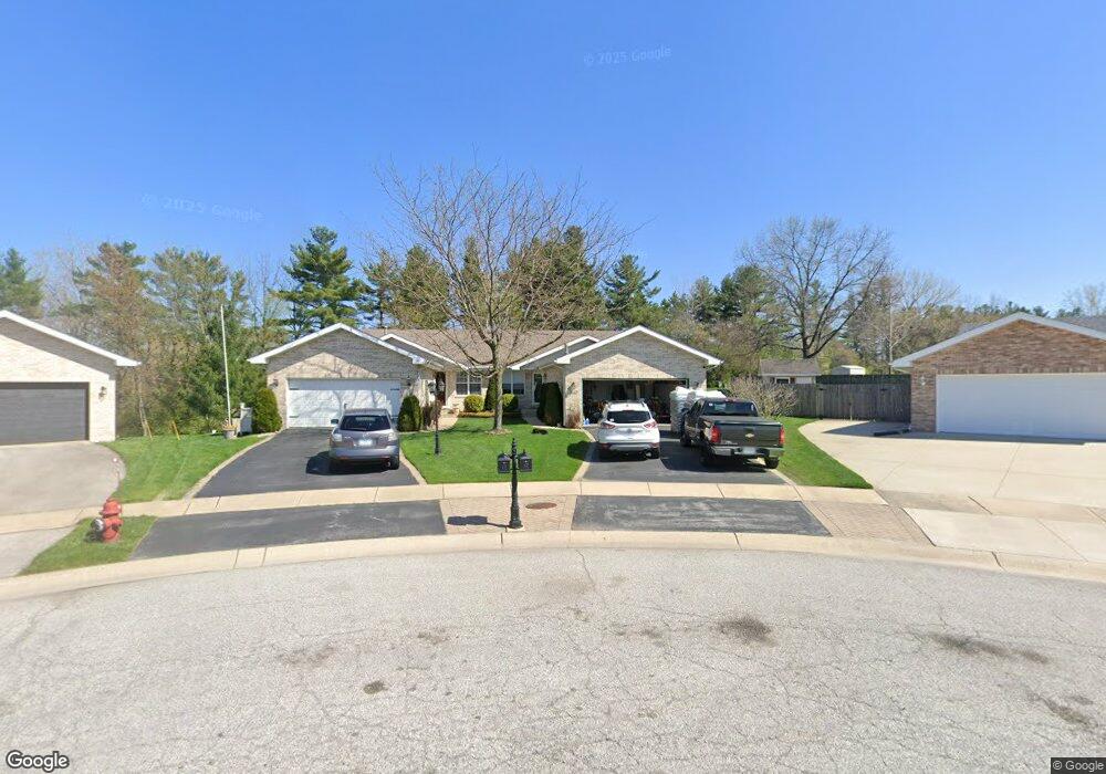
1647 Flag Ct Crown Point, IN 46307
Estimated Value: $284,599 - $319,000
3
Beds
2
Baths
1,610
Sq Ft
$187/Sq Ft
Est. Value
About This Home
This home is located at 1647 Flag Ct, Crown Point, IN 46307 and is currently estimated at $301,650, approximately $187 per square foot. 1647 Flag Ct is a home located in Lake County with nearby schools including Peifer Elementary School, Hal E Clark Middle School, and Lake Central High School.
Ownership History
Date
Name
Owned For
Owner Type
Purchase Details
Closed on
Sep 19, 2008
Sold by
Culver John H and Culver Sharon L
Bought by
Green Robert K and Green Patricia N
Current Estimated Value
Home Financials for this Owner
Home Financials are based on the most recent Mortgage that was taken out on this home.
Original Mortgage
$168,925
Outstanding Balance
$112,627
Interest Rate
6.57%
Mortgage Type
FHA
Estimated Equity
$189,023
Create a Home Valuation Report for This Property
The Home Valuation Report is an in-depth analysis detailing your home's value as well as a comparison with similar homes in the area
Home Values in the Area
Average Home Value in this Area
Purchase History
| Date | Buyer | Sale Price | Title Company |
|---|---|---|---|
| Green Robert K | -- | Multiple |
Source: Public Records
Mortgage History
| Date | Status | Borrower | Loan Amount |
|---|---|---|---|
| Open | Green Robert K | $168,925 |
Source: Public Records
Tax History Compared to Growth
Tax History
| Year | Tax Paid | Tax Assessment Tax Assessment Total Assessment is a certain percentage of the fair market value that is determined by local assessors to be the total taxable value of land and additions on the property. | Land | Improvement |
|---|---|---|---|---|
| 2024 | $4,824 | $267,100 | $41,500 | $225,600 |
| 2023 | $1,938 | $236,900 | $41,500 | $195,400 |
| 2022 | $1,938 | $211,200 | $41,500 | $169,700 |
| 2021 | $1,821 | $203,500 | $41,500 | $162,000 |
| 2020 | $1,720 | $191,200 | $32,600 | $158,600 |
| 2019 | $1,871 | $188,600 | $30,400 | $158,200 |
| 2018 | $1,811 | $182,300 | $30,400 | $151,900 |
| 2017 | $1,620 | $174,800 | $30,400 | $144,400 |
| 2016 | $1,560 | $169,400 | $30,400 | $139,000 |
| 2014 | $1,444 | $167,300 | $30,400 | $136,900 |
| 2013 | $1,477 | $166,700 | $30,400 | $136,300 |
Source: Public Records
Map
Nearby Homes
- 2921 Morningside Dr
- 2914 Morningside Dr
- 6076 Wexford Way
- 5547 Maggie Mae Ct
- 1813 Redwood Ct
- 5544 Maggie Mae Ct
- 1881 Orchard Ct
- 1896 Azalea Ct
- 6440 W 89th Ave
- 2720 Painted Leaf Ct
- 1785 Wedgewood Ct
- 1765 Wedgewood Ct
- 5480 Victoria Place
- 8849 Calhoun Place
- 2756 Autumn Dr
- 8109 Victoria Place
- 2609 Autumn Dr
- 6501 W 89th Ave
- 8521 Morse Place
- 8748 Durbin Ln