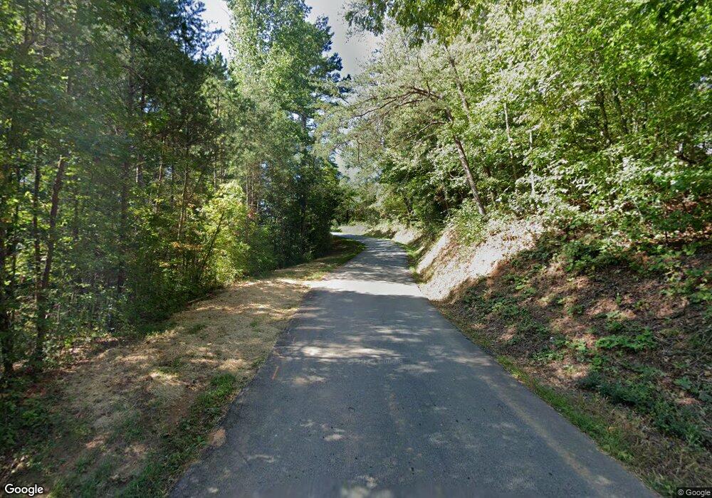
1647 John Garner Rd Dahlonega, GA 30533
Estimated Value: $451,000 - $1,235,194
4
Beds
3
Baths
2,748
Sq Ft
$307/Sq Ft
Est. Value
About This Home
This home is located at 1647 John Garner Rd, Dahlonega, GA 30533 and is currently estimated at $843,097, approximately $306 per square foot. 1647 John Garner Rd is a home with nearby schools including Lumpkin County High School.
Ownership History
Date
Name
Owned For
Owner Type
Purchase Details
Closed on
Dec 29, 2005
Sold by
Black E Ray
Bought by
Satsuma 2369 John Crow Road Llc
Current Estimated Value
Purchase Details
Closed on
Mar 28, 2005
Sold by
Black E Ray
Bought by
Satsuma 2369 John Crow Road Ll
Purchase Details
Closed on
Mar 7, 2003
Sold by
Owens Marni M
Bought by
Black E Ray
Purchase Details
Closed on
Jan 15, 1998
Bought by
Owens Marni M
Create a Home Valuation Report for This Property
The Home Valuation Report is an in-depth analysis detailing your home's value as well as a comparison with similar homes in the area
Home Values in the Area
Average Home Value in this Area
Purchase History
| Date | Buyer | Sale Price | Title Company |
|---|---|---|---|
| Satsuma 2369 John Crow Road Llc | $1,031,400 | -- | |
| Satsuma 2369 John Crow Road Ll | $368,592 | -- | |
| Black E Ray | $650,000 | -- | |
| Owens Marni M | $245,000 | -- |
Source: Public Records
Tax History Compared to Growth
Tax History
| Year | Tax Paid | Tax Assessment Tax Assessment Total Assessment is a certain percentage of the fair market value that is determined by local assessors to be the total taxable value of land and additions on the property. | Land | Improvement |
|---|---|---|---|---|
| 2024 | $4,544 | $424,285 | $257,633 | $166,652 |
| 2023 | $4,313 | $379,545 | $222,097 | $157,448 |
| 2022 | $4,437 | $356,138 | $201,906 | $154,232 |
| 2021 | $4,047 | $335,626 | $201,906 | $133,720 |
| 2020 | $4,075 | $332,651 | $201,906 | $130,745 |
| 2019 | $4,097 | $332,651 | $201,906 | $130,745 |
| 2018 | $3,941 | $318,232 | $201,906 | $116,326 |
| 2017 | $3,959 | $316,747 | $201,906 | $114,841 |
| 2016 | $9,115 | $304,802 | $201,906 | $102,896 |
| 2015 | $8,081 | $304,802 | $201,906 | $102,896 |
| 2014 | $8,081 | $306,516 | $201,906 | $104,609 |
| 2013 | -- | $309,473 | $201,906 | $107,566 |
Source: Public Records
Map
Nearby Homes
- 310 Highland Trail
- 0 Highway 129 N Unit 10656269
- 0 Paradise Valley Rd Unit 10468779
- 129 Pine Rd
- 31 Pine Rd
- 0 Damascus Church Rd Unit 21674636
- 15103 Highway 19 N
- 136 Gold Ditch Rd
- 169 Dunns Rd
- 412 Fireside Ridge Dr
- 748 Damascus Church Rd
- 18 Corinth Church Rd
- 0 Corinth Church Rd Unit 413322
- 0 Corinth Church Rd Unit 10656398
- 0 Corinth Church Rd Unit 10463002
- 0 Corinth Church Rd Unit 7527787
- 11161 Highway 19 N
- 00 Paradise Valley Rd
- 529 Eden Cir
- 2717 Damascus Church Rd
- 1700 John Crow Rd
- 1700 John Crow Rd Unit 12+AC
- 1700 John Crow Rd Unit 12+AC
- 1700 John Crow Rd
- 1768 John Crow Rd
- 00 Celie Ann Seabolt Rd
- 78 Mystic View
- 1513 John Crow Rd
- 1509 John Crow Rd
- 78 Mystic View
- 500 Neverland Trail
- 95 Mystic View
- 95 Mystic View
- 30 Celie Ann Seabolt Rd
- 102 Celie Ann Seabolt Rd
- 401 Celie Ann Seabolt Rd
- 176 Mystic View
- 176 Mystic View
- 2369 John Crow Rd
- 321 Neverland Trail
