Estimated Value: $274,000 - $416,000
--
Bed
3
Baths
2,796
Sq Ft
$123/Sq Ft
Est. Value
About This Home
This home is located at 1647 W Highway 64, Ozark, AR 72949 and is currently estimated at $345,000, approximately $123 per square foot. 1647 W Highway 64 is a home located in Franklin County with nearby schools including Marvin Primary School, Pleasant View Junior High School, and Mulberry High School.
Ownership History
Date
Name
Owned For
Owner Type
Purchase Details
Closed on
Aug 11, 2025
Sold by
Trotter Garry Donn and Trotter Jolene Ann
Bought by
Trotter Jolene Ann and Jolene Ann Trotter And Garry Donn Trotter Rev
Current Estimated Value
Purchase Details
Closed on
Jan 2, 2002
Bought by
Thomas and Trotter
Purchase Details
Closed on
Mar 4, 1997
Bought by
O'Neal and Thomas
Purchase Details
Closed on
Jul 1, 1992
Bought by
Bank
Purchase Details
Closed on
May 1, 1992
Bought by
5 Ac Comm
Purchase Details
Closed on
Jun 1, 1988
Bought by
22 22 9 and 22 Ac Trotter
Purchase Details
Closed on
May 2, 1984
Bought by
5 Ac Trotter and Trotter
Create a Home Valuation Report for This Property
The Home Valuation Report is an in-depth analysis detailing your home's value as well as a comparison with similar homes in the area
Home Values in the Area
Average Home Value in this Area
Purchase History
| Date | Buyer | Sale Price | Title Company |
|---|---|---|---|
| Trotter Jolene Ann | -- | None Listed On Document | |
| Thomas | -- | -- | |
| O'Neal | $72,000 | -- | |
| Bank | $55,000 | -- | |
| 5 Ac Comm | -- | -- | |
| 22 22 9 | -- | -- | |
| 5 Ac Trotter | -- | -- |
Source: Public Records
Tax History Compared to Growth
Tax History
| Year | Tax Paid | Tax Assessment Tax Assessment Total Assessment is a certain percentage of the fair market value that is determined by local assessors to be the total taxable value of land and additions on the property. | Land | Improvement |
|---|---|---|---|---|
| 2025 | $1,500 | $44,440 | $6,870 | $37,570 |
| 2024 | $1,600 | $44,440 | $6,870 | $37,570 |
| 2023 | $1,663 | $44,200 | $6,630 | $37,570 |
| 2022 | $1,208 | $34,090 | $3,690 | $30,400 |
| 2021 | $1,208 | $34,090 | $3,690 | $30,400 |
| 2020 | $1,575 | $32,880 | $2,110 | $30,770 |
| 2019 | $1,575 | $32,880 | $2,110 | $30,770 |
| 2018 | $1,575 | $32,880 | $2,110 | $30,770 |
| 2017 | $1,575 | $32,880 | $2,110 | $30,770 |
| 2016 | $1,575 | $32,880 | $2,110 | $30,770 |
| 2015 | $1,466 | $30,610 | $2,100 | $28,510 |
| 2013 | -- | $30,610 | $2,100 | $28,510 |
Source: Public Records
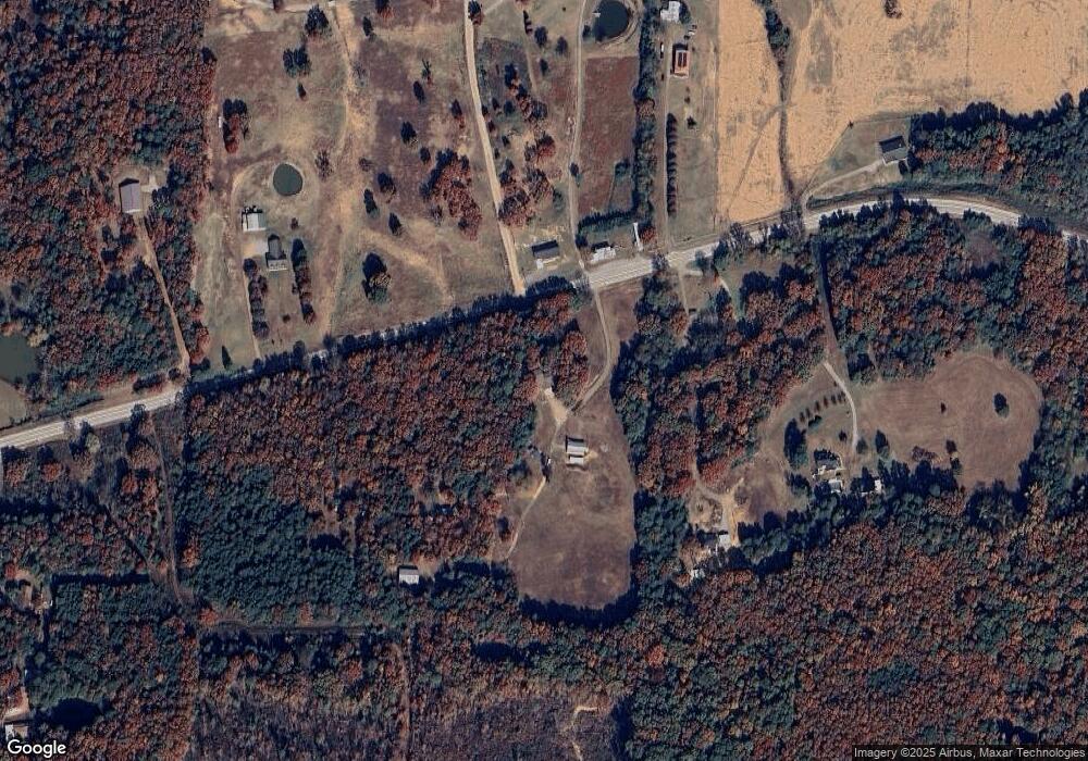
Map
Nearby Homes
- 8071 Red Oak Dr
- 4205 Woodland W
- 721 S 37th St
- 719 Norma Ln
- 617 N 35th St
- 203 S 35th St
- 213 S 30th St
- 301 S 30th St
- 1832 Lone Oak Rd
- 310 S 29th St
- 213 N 28th St
- 2706 Whitney Dr
- 402 N 27th St
- 2605 W Commercial St
- 413 N 26th St
- 2513 W Commercial St
- 309 N 25th St
- 203 N 25th St
- 202 N 25th St
- 1912 Johnson St
- 8410 Highway 64
- 1639 W Highway 64
- 1619 W Highway 64
- 1608 W Highway 64
- 1633 W Highway 64
- 1526 W Highway 64
- 1526 U S 64
- 1628 W Highway 64
- 1339 W Highway 64
- 2139 Adams Rd
- 0 Green Hollow Rd
- 2217 Adams Rd
- 2009 U S 64
- 2200 Adams Rd
- 2058 Manitou Mtn Rd
- 1662 Manitou Mtn Rd
- 2240 Adams Rd
- 2035 W Highway 64
- 1402 W Highway 64
- 1310 W Highway 64