16475 Harms Way Piney Point, MD 20674
Saint George Island NeighborhoodEstimated Value: $618,000 - $990,000
--
Bed
2
Baths
3,122
Sq Ft
$252/Sq Ft
Est. Value
About This Home
This home is located at 16475 Harms Way, Piney Point, MD 20674 and is currently estimated at $787,319, approximately $252 per square foot. 16475 Harms Way is a home located in St. Mary's County with nearby schools including Piney Point Elementary School, Spring Ridge Middle School, and Leonardtown High School.
Ownership History
Date
Name
Owned For
Owner Type
Purchase Details
Closed on
Sep 8, 2005
Sold by
Richards J Clyde J and Richards Joy M
Bought by
O'Brien Lawrence P and O'Brien Juliet A
Current Estimated Value
Home Financials for this Owner
Home Financials are based on the most recent Mortgage that was taken out on this home.
Original Mortgage
$836,480
Interest Rate
5.84%
Mortgage Type
New Conventional
Create a Home Valuation Report for This Property
The Home Valuation Report is an in-depth analysis detailing your home's value as well as a comparison with similar homes in the area
Home Values in the Area
Average Home Value in this Area
Purchase History
| Date | Buyer | Sale Price | Title Company |
|---|---|---|---|
| O'Brien Lawrence P | $505,000 | -- |
Source: Public Records
Mortgage History
| Date | Status | Borrower | Loan Amount |
|---|---|---|---|
| Closed | O'Brien Lawrence P | $836,480 |
Source: Public Records
Tax History Compared to Growth
Tax History
| Year | Tax Paid | Tax Assessment Tax Assessment Total Assessment is a certain percentage of the fair market value that is determined by local assessors to be the total taxable value of land and additions on the property. | Land | Improvement |
|---|---|---|---|---|
| 2025 | $6,386 | $668,300 | $282,900 | $385,400 |
| 2024 | $6,173 | $624,167 | $0 | $0 |
| 2023 | $5,965 | $580,033 | $0 | $0 |
| 2022 | $5,762 | $535,900 | $255,900 | $280,000 |
| 2021 | $5,674 | $527,767 | $0 | $0 |
| 2020 | $5,586 | $519,633 | $0 | $0 |
| 2019 | $5,498 | $511,500 | $255,900 | $255,600 |
| 2018 | $5,497 | $511,500 | $255,900 | $255,600 |
| 2017 | $7,839 | $511,500 | $0 | $0 |
| 2016 | -- | $795,200 | $0 | $0 |
| 2015 | $8,952 | $795,200 | $0 | $0 |
| 2014 | $8,952 | $795,200 | $0 | $0 |
Source: Public Records
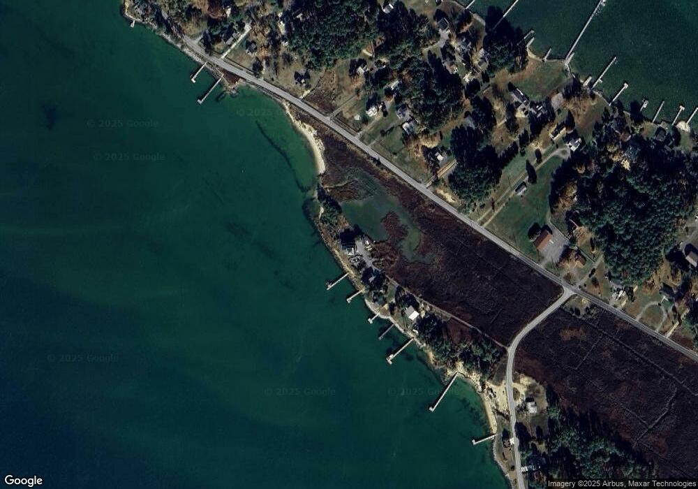
Map
Nearby Homes
- 16252 Thomas Rd
- 16460 Sayre Point Ln
- 16242 Thomas Rd
- 16129 Piney Point Rd
- 17203 Piney Point Rd
- 45394 Walnut St
- 17490 Lighthouse Commons Dr
- 17838 4th St
- 17850 4th St
- 17852 3rd St
- 17863 2nd St
- 0 Saint Georges Park Rd
- 45044 Deagles Boatyard Rd
- 17615 Driftwood Dr
- 17660 Driftwood Dr
- 0 Gum Landing Rd
- 17778 Rosecroft Rd
- Lot 2 Mt Pleasant Fa Drayden Rd
- Lot 1 Mt. Pleasant F Drayden Rd
- Lot 4 Mt Pleasant Fa Drayden Rd
- 16465 Harms Way
- 16445 Harms Way
- 16443 Harms Way
- 16441 Harms Way
- 16500 Piney Point Rd
- 16530 Piney Point Rd
- 16431 Thomas Rd
- 16540 Piney Point Rd
- 16498 Piney Point Rd
- 46030 Sheaffer Ln
- 45981 Crowder Ln
- 46053 Sheaffer Ln
- 46001 Crowder Ln
- 16562 Piney Point Rd
- 16488 Piney Point Rd
- 46048 Sheaffer Ln
- 16378 Piney Point Rd
- 21344 Arthur Fenwick Ln
- 16452 Piney Point Rd
- 46006 Crowder Ln