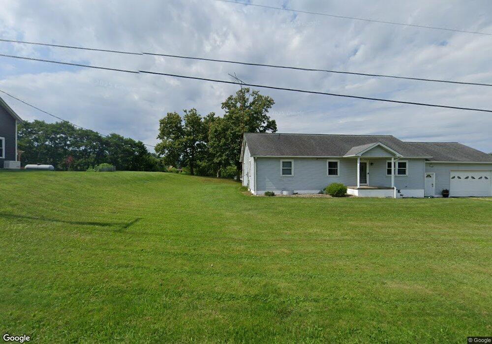
16478 State Route 39 Loudonville, OH 44842
Estimated Value: $207,512 - $300,000
--
Bed
1
Bath
1,440
Sq Ft
$175/Sq Ft
Est. Value
About This Home
This home is located at 16478 State Route 39, Loudonville, OH 44842 and is currently estimated at $251,878, approximately $174 per square foot. 16478 State Route 39 is a home located in Holmes County with nearby schools including McMullen Elementary School, Budd Elementary School, and Loudonville High School.
Ownership History
Date
Name
Owned For
Owner Type
Purchase Details
Closed on
Apr 23, 2011
Sold by
Lowe Lance L and Lowe Jerrica L
Bought by
Gaines Christopher C and Gaines Lindsay M
Current Estimated Value
Home Financials for this Owner
Home Financials are based on the most recent Mortgage that was taken out on this home.
Original Mortgage
$112,953
Outstanding Balance
$78,146
Interest Rate
4.86%
Mortgage Type
New Conventional
Estimated Equity
$173,732
Purchase Details
Closed on
Mar 31, 2004
Bought by
Lowe Lance L and Lowe Jerrica L
Purchase Details
Closed on
Mar 17, 2004
Bought by
Wm Specialty Mortgage Llc
Purchase Details
Closed on
Oct 27, 2000
Bought by
Wales Mychelle R
Purchase Details
Closed on
Jan 1, 1990
Bought by
Wales John C
Create a Home Valuation Report for This Property
The Home Valuation Report is an in-depth analysis detailing your home's value as well as a comparison with similar homes in the area
Home Values in the Area
Average Home Value in this Area
Purchase History
| Date | Buyer | Sale Price | Title Company |
|---|---|---|---|
| Gaines Christopher C | $109,000 | None Available | |
| Lowe Lance L | $65,000 | -- | |
| Wm Specialty Mortgage Llc | $68,500 | -- | |
| Wales Mychelle R | -- | -- | |
| Wales John C | -- | -- |
Source: Public Records
Mortgage History
| Date | Status | Borrower | Loan Amount |
|---|---|---|---|
| Open | Gaines Christopher C | $112,953 |
Source: Public Records
Tax History Compared to Growth
Tax History
| Year | Tax Paid | Tax Assessment Tax Assessment Total Assessment is a certain percentage of the fair market value that is determined by local assessors to be the total taxable value of land and additions on the property. | Land | Improvement |
|---|---|---|---|---|
| 2024 | $2,124 | $49,780 | $7,880 | $41,900 |
| 2023 | $2,124 | $49,780 | $7,880 | $41,900 |
| 2022 | $2,256 | $49,780 | $7,880 | $41,900 |
| 2021 | $1,883 | $39,360 | $7,860 | $31,500 |
| 2020 | $1,723 | $39,360 | $7,860 | $31,500 |
| 2019 | $1,661 | $39,360 | $7,860 | $31,500 |
| 2018 | $1,381 | $32,000 | $7,290 | $24,710 |
| 2017 | $1,384 | $32,000 | $7,290 | $24,710 |
| 2016 | $1,350 | $32,000 | $7,290 | $24,710 |
| 2015 | $1,306 | $30,430 | $7,260 | $23,170 |
| 2014 | $1,302 | $30,430 | $7,260 | $23,170 |
| 2013 | $670 | $30,430 | $7,260 | $23,170 |
Source: Public Records
Map
Nearby Homes
- 526 E Campbell St
- 518 Snyder Dr
- 333 E Campbell St
- 316 E Campbell St
- 524 N Union St
- 500 Stone Meadow Cir
- 2818 Township Road 2812
- 723 Pearl Dr
- 513 N Mount Vernon Ave
- 1406 Pearl Dr
- 6620 Township Road 451
- 3183 County Road 3175
- 6913 County Road 22
- 14602 Township Road 469
- 14355 Township Road 467
- 7129 Township Road 466
- 3317 Township Road 539
- 13636 Township Road 471
- 0 County Road 917
- 609 Ohio 95
- 16478 Ohio 39
- 4 Banks Ave
- 16450 State Route 39
- 1145 E Main St
- 16425 State Route 39
- 1129 E Main St
- 1051 E Main St
- 1046 E Main St
- 7690 Township Road 455
- 7817 Township Road 457
- 2535 Ohio 60
- 2741 Ohio 60
- 60 Ohio 60
- 0 Ohio 60
- TBD Ohio 60
- 16450 Ohio 39
- 1037 Ohio 39
- 7751 Township Road 457
- 1030 E Main St
- 2227 Ohio 60