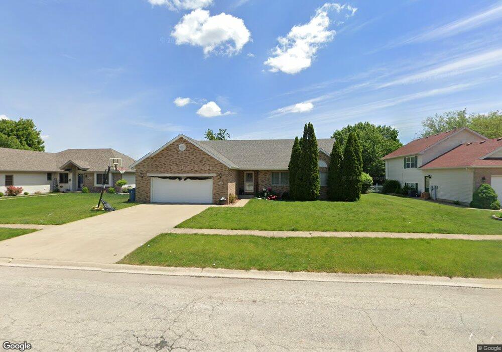
1648 Hatteras Dr Bourbonnais, IL 60914
Estimated Value: $276,580 - $342,000
3
Beds
2
Baths
1,548
Sq Ft
$192/Sq Ft
Est. Value
About This Home
This home is located at 1648 Hatteras Dr, Bourbonnais, IL 60914 and is currently estimated at $297,395, approximately $192 per square foot. 1648 Hatteras Dr is a home located in Kankakee County with nearby schools including Liberty Intermediate School, Shabbona Elementary School, and Bourbonnais Upper Grade Center.
Ownership History
Date
Name
Owned For
Owner Type
Purchase Details
Closed on
Jun 17, 2011
Sold by
Butt Laura A
Bought by
Duval Matthew L and Spaulding Dana L
Current Estimated Value
Home Financials for this Owner
Home Financials are based on the most recent Mortgage that was taken out on this home.
Original Mortgage
$134,000
Outstanding Balance
$92,895
Interest Rate
4.75%
Mortgage Type
New Conventional
Estimated Equity
$204,500
Create a Home Valuation Report for This Property
The Home Valuation Report is an in-depth analysis detailing your home's value as well as a comparison with similar homes in the area
Home Values in the Area
Average Home Value in this Area
Purchase History
| Date | Buyer | Sale Price | Title Company |
|---|---|---|---|
| Duval Matthew L | $170,000 | Standard Title |
Source: Public Records
Mortgage History
| Date | Status | Borrower | Loan Amount |
|---|---|---|---|
| Open | Duval Matthew L | $134,000 |
Source: Public Records
Tax History Compared to Growth
Tax History
| Year | Tax Paid | Tax Assessment Tax Assessment Total Assessment is a certain percentage of the fair market value that is determined by local assessors to be the total taxable value of land and additions on the property. | Land | Improvement |
|---|---|---|---|---|
| 2024 | $5,511 | $72,541 | $8,751 | $63,790 |
| 2023 | $4,890 | $65,448 | $8,103 | $57,345 |
| 2022 | $4,800 | $61,998 | $7,810 | $54,188 |
| 2021 | $4,579 | $59,090 | $7,638 | $51,452 |
| 2020 | $4,420 | $56,255 | $7,434 | $48,821 |
| 2019 | $4,322 | $54,616 | $7,217 | $47,399 |
| 2018 | $4,181 | $52,893 | $7,110 | $45,783 |
| 2017 | $4,093 | $51,603 | $6,937 | $44,666 |
| 2016 | $3,945 | $50,038 | $6,834 | $43,204 |
| 2015 | $4,030 | $50,419 | $6,766 | $43,653 |
| 2014 | $3,911 | $50,898 | $6,766 | $44,132 |
| 2013 | -- | $51,593 | $6,766 | $44,827 |
Source: Public Records
Map
Nearby Homes
- 1613 Stefanie Ln
- 172 Anita Dr
- 197 Kristina Dr
- 1565 Stefanie Ln
- 1582 Mid Court Dr
- 1533 Stefanie Ln
- 330 Centerpoint Dr S
- 360 Centerpoint Dr S
- 444 Highpoint Cir N
- 22 Emery Dr
- 1293 Hartley Ave
- 6 Berry Ln
- 1515 Eagle Bluff Dr
- 530 Meadows Rd S
- 14 Saint Michaels Dr
- 2082 Craftsman Ave
- 54 Bonds Dr
- 675 Kathy Dr
- 118 Meadows Ct
- 10 Apache Ct
- 1656 Hatteras Dr
- 1637 Hatteras Dr
- 1631 Hatteras Dr
- 1632 Hatteras Dr
- 1639 Viking Dr
- 1653 Hatteras Dr
- 1633 Viking Dr
- 1625 Hatteras Dr
- 1645 Viking Dr
- 1627 Viking Dr
- 1669 Hatteras Dr
- 1624 Hatteras Dr
- 1664 Hatteras Dr
- 1619 Hatteras Dr
- 1673 Hatteras Dr
- 1621 Viking Dr
- 1665 Viking Dr
- 1616 Hatteras Dr
- 1613 Hatteras Dr
- 1642 Viking Dr