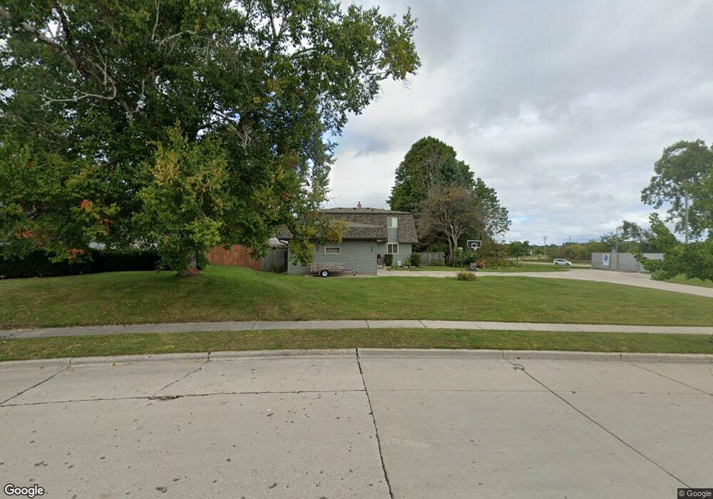
1648 Miriam Rd Manitowoc, WI 54220
Estimated Value: $283,000 - $305,581
3
Beds
3
Baths
888
Sq Ft
$331/Sq Ft
Est. Value
About This Home
This home is located at 1648 Miriam Rd, Manitowoc, WI 54220 and is currently estimated at $294,291, approximately $331 per square foot. 1648 Miriam Rd is a home located in Manitowoc County with nearby schools including Jackson Elementary School, Wilson Middle School, and Lincoln High School.
Ownership History
Date
Name
Owned For
Owner Type
Purchase Details
Closed on
Oct 21, 2008
Sold by
Doneff Nicolas J and Doneff Kristine E
Bought by
Deprey Justin L and Deprey Jessica A
Current Estimated Value
Home Financials for this Owner
Home Financials are based on the most recent Mortgage that was taken out on this home.
Original Mortgage
$127,300
Outstanding Balance
$83,258
Interest Rate
6.09%
Mortgage Type
New Conventional
Estimated Equity
$211,033
Create a Home Valuation Report for This Property
The Home Valuation Report is an in-depth analysis detailing your home's value as well as a comparison with similar homes in the area
Home Values in the Area
Average Home Value in this Area
Purchase History
| Date | Buyer | Sale Price | Title Company |
|---|---|---|---|
| Deprey Justin L | $134,000 | -- |
Source: Public Records
Mortgage History
| Date | Status | Borrower | Loan Amount |
|---|---|---|---|
| Open | Deprey Justin L | $127,300 |
Source: Public Records
Tax History Compared to Growth
Tax History
| Year | Tax Paid | Tax Assessment Tax Assessment Total Assessment is a certain percentage of the fair market value that is determined by local assessors to be the total taxable value of land and additions on the property. | Land | Improvement |
|---|---|---|---|---|
| 2024 | $4,092 | $233,600 | $24,600 | $209,000 |
| 2023 | $3,797 | $233,600 | $24,600 | $209,000 |
| 2022 | $3,304 | $172,500 | $24,600 | $147,900 |
| 2021 | $3,360 | $172,500 | $24,600 | $147,900 |
| 2020 | $3,294 | $157,300 | $24,600 | $132,700 |
| 2019 | $3,270 | $157,300 | $24,600 | $132,700 |
| 2018 | $3,196 | $157,300 | $24,600 | $132,700 |
| 2017 | $3,118 | $157,300 | $24,600 | $132,700 |
| 2016 | $3,241 | $157,300 | $24,600 | $132,700 |
| 2015 | $3,317 | $157,300 | $24,600 | $132,700 |
| 2014 | -- | $157,300 | $24,600 | $132,700 |
| 2013 | $3,267 | $157,300 | $24,600 | $132,700 |
Source: Public Records
Map
Nearby Homes
- 1920 Ravenswood Ln
- 1922 Ravenswood Ln
- 1926 Ravenswood Ln
- 1928 Ravenswood Ln
- 1934 Ravenswood Ln
- 1936 Ravenswood Ln
- 1414 Nagle Ave
- 1437 Arden Ln
- 1101 Nagle Ave
- 1316 N 23rd St
- 1025 N 15th St
- Lt99 N 18th St
- 928 N 16th St
- 1008 N 23rd St
- 919 N 14th St
- 1518 Torrison Dr
- 2423 County Highway Q -
- 511 Oak St
- 1339 Wolf Run
- 1925 Creekwood Ct
- 1645 Miriam Rd
- 1640 Miriam Rd
- 1644 Miriam Rd
- 1762 Nagle Ave
- 1636 Miriam Rd
- Lt99 Magnolia & N 18th
- 1632 Miriam Rd
- 1754 Nagle Ave
- 1627 Miriam Rd
- 1760 Cross St
- 1766 Cross St
- 1628 Miriam Rd
- 1649 Atlanta Cir
- 1645 Atlanta Cir
- 1748 Nagle Ave
- 1653 Atlanta Cir
- 1657 Atlanta Cir
- 1637 Atlanta Cir
- 1754 Cross St
- 1624 Miriam Rd