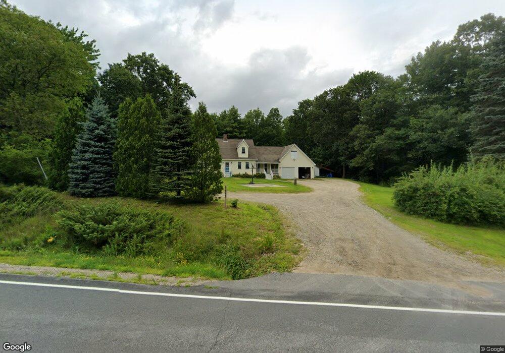
Estimated Value: $371,309 - $506,000
--
Bed
--
Bath
936
Sq Ft
$460/Sq Ft
Est. Value
About This Home
This home is located at 1648 Route 109, Acton, ME 04001 and is currently estimated at $430,827, approximately $460 per square foot. 1648 Route 109 is a home with nearby schools including Acton Elementary School.
Ownership History
Date
Name
Owned For
Owner Type
Purchase Details
Closed on
Feb 15, 2008
Sold by
Cote David A
Bought by
Cote David A and Scully Tracy L
Current Estimated Value
Purchase Details
Closed on
Apr 12, 2006
Sold by
Cote Diane G
Bought by
Cote David A
Create a Home Valuation Report for This Property
The Home Valuation Report is an in-depth analysis detailing your home's value as well as a comparison with similar homes in the area
Home Values in the Area
Average Home Value in this Area
Purchase History
| Date | Buyer | Sale Price | Title Company |
|---|---|---|---|
| Cote David A | $1,001 | -- | |
| Cote David A | -- | -- |
Source: Public Records
Mortgage History
| Date | Status | Borrower | Loan Amount |
|---|---|---|---|
| Closed | Cote David A | $115,500 | |
| Previous Owner | Cote David A | $32,000 |
Source: Public Records
Tax History Compared to Growth
Tax History
| Year | Tax Paid | Tax Assessment Tax Assessment Total Assessment is a certain percentage of the fair market value that is determined by local assessors to be the total taxable value of land and additions on the property. | Land | Improvement |
|---|---|---|---|---|
| 2024 | $2,333 | $329,921 | $77,200 | $252,721 |
| 2023 | $2,128 | $329,921 | $77,200 | $252,721 |
| 2022 | $2,869 | $240,051 | $49,500 | $190,551 |
| 2021 | $2,869 | $240,051 | $49,500 | $190,551 |
| 2020 | $2,893 | $240,051 | $49,500 | $190,551 |
| 2019 | $2,893 | $240,051 | $49,500 | $190,551 |
| 2018 | $2,893 | $240,051 | $49,500 | $190,551 |
| 2017 | $2,857 | $240,051 | $49,500 | $190,551 |
| 2016 | $2,701 | $240,051 | $49,500 | $190,551 |
| 2015 | $2,773 | $240,051 | $49,500 | $190,551 |
| 2014 | $2,665 | $240,051 | $49,500 | $190,551 |
Source: Public Records
Map
Nearby Homes
