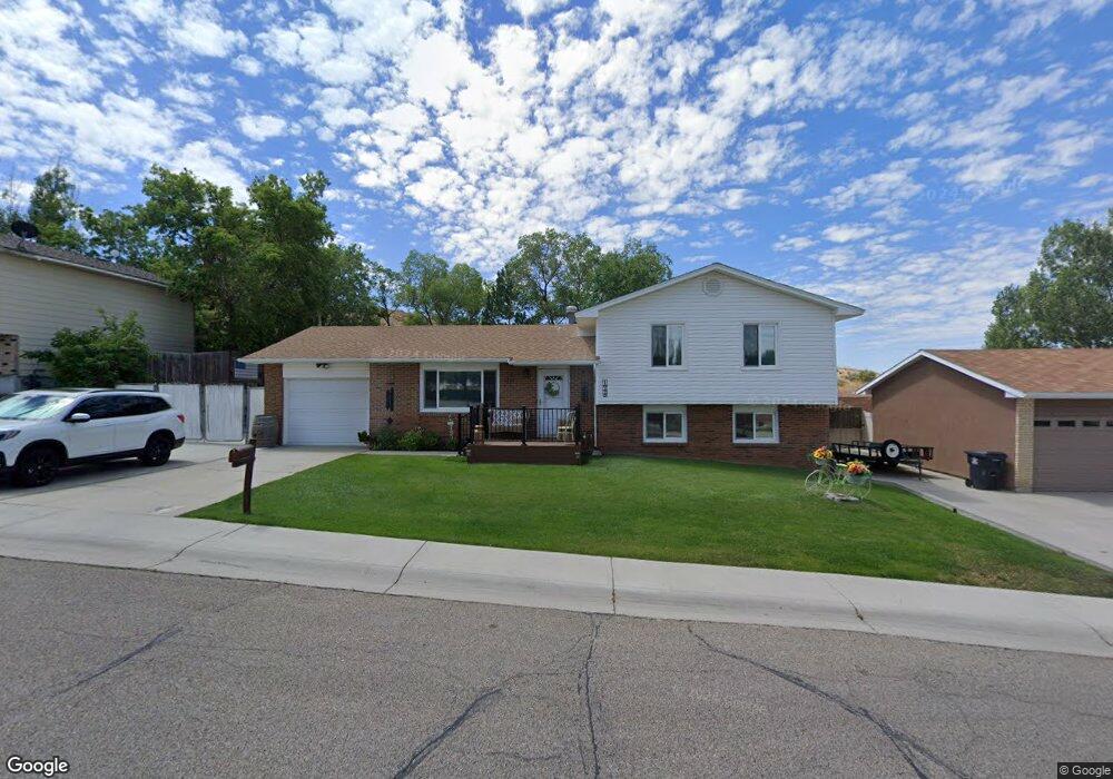
1648 Walnut St Rock Springs, WY 82901
Estimated Value: $207,000 - $292,073
3
Beds
2
Baths
1,628
Sq Ft
$162/Sq Ft
Est. Value
About This Home
This home is located at 1648 Walnut St, Rock Springs, WY 82901 and is currently estimated at $264,018, approximately $162 per square foot. 1648 Walnut St is a home located in Sweetwater County with nearby schools including Walnut Elementary School, Rock Springs Junior High School, and Rock Springs High School.
Ownership History
Date
Name
Owned For
Owner Type
Purchase Details
Closed on
Jul 4, 2013
Sold by
Palmer Craig L and Palmer Bonnie K
Bought by
Olexey Donald D and Olexey Patricia L
Current Estimated Value
Home Financials for this Owner
Home Financials are based on the most recent Mortgage that was taken out on this home.
Original Mortgage
$223,250
Outstanding Balance
$52,517
Interest Rate
3.83%
Mortgage Type
New Conventional
Estimated Equity
$211,501
Create a Home Valuation Report for This Property
The Home Valuation Report is an in-depth analysis detailing your home's value as well as a comparison with similar homes in the area
Home Values in the Area
Average Home Value in this Area
Purchase History
| Date | Buyer | Sale Price | Title Company |
|---|---|---|---|
| Olexey Donald D | $279,162 | Indecomm Global Svcs |
Source: Public Records
Mortgage History
| Date | Status | Borrower | Loan Amount |
|---|---|---|---|
| Open | Olexey Donald D | $223,250 |
Source: Public Records
Tax History Compared to Growth
Tax History
| Year | Tax Paid | Tax Assessment Tax Assessment Total Assessment is a certain percentage of the fair market value that is determined by local assessors to be the total taxable value of land and additions on the property. | Land | Improvement |
|---|---|---|---|---|
| 2025 | $1,947 | $18,782 | $2,494 | $16,288 |
| 2024 | $1,947 | $26,329 | $3,325 | $23,004 |
| 2023 | $1,910 | $26,381 | $3,325 | $23,056 |
| 2022 | $1,873 | $25,639 | $3,325 | $22,314 |
| 2021 | $1,733 | $23,660 | $3,325 | $20,335 |
| 2020 | $1,694 | $23,142 | $3,325 | $19,817 |
| 2019 | $1,654 | $22,772 | $3,325 | $19,447 |
| 2018 | $1,592 | $21,872 | $3,325 | $18,547 |
| 2017 | $1,581 | $21,623 | $3,325 | $18,298 |
| 2015 | -- | $20,627 | $0 | $0 |
| 2014 | -- | $20,387 | $0 | $0 |
Source: Public Records
Map
Nearby Homes
- 1188 Palisades Ct
- 1184 Palisades Ct
- 820 Maple St
- 805 Walnut St
- 716 B St
- 809 Ash St
- 1002 Wyoming St
- 1116 Wyoming St
- 820 Connecticut Ave
- 922 New Hampshire St
- 804 Connecticut Ave
- 740 Rhode Island Ave
- 1300 New Hampshire St
- 1104 New Hampshire St
- 518 A St
- 31 1st St
- 507 Swan St
- 801 Mckeehan Ave
- 1680 Blair Ave
- 602 Dewar Dr
- 1652 Walnut St
- 1652 Walnut St Unit Big Horn
- 1644 Walnut St
- 1552 Walnut St
- 1656 Walnut St
- 667 Big Horn St
- 666 Big Horn St
- 1744 Walnut St
- 1548 Walnut St
- 1380 Moran St
- 670 Big Horn St
- 670 Big Horn St Unit Walnut
- 1553 Walnut St
- 671 Big Horn St
- 1544 Walnut St
- 1748 Walnut St
- 1753 Walnut St
- 1389 Moran St
- 1389 Moran St Unit Big Horn
- 674 Big Horn St