Estimated Value: $459,319 - $613,000
2
Beds
1
Bath
3,432
Sq Ft
$149/Sq Ft
Est. Value
About This Home
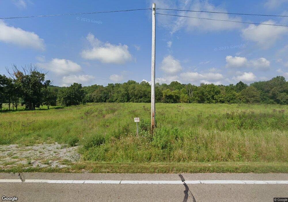
This home is located at 16480 State Route 328, Logan, OH 43138 and is currently estimated at $510,330, approximately $148 per square foot. 16480 State Route 328 is a home with nearby schools including Union Furnace Elementary School.
Ownership History
Date
Name
Owned For
Owner Type
Purchase Details
Closed on
Apr 6, 2016
Sold by
Phillips Selma I
Bought by
Phillips Curt
Current Estimated Value
Purchase Details
Closed on
Mar 18, 2016
Sold by
Phillips Selma I
Bought by
Phillips Robert
Create a Home Valuation Report for This Property
The Home Valuation Report is an in-depth analysis detailing your home's value as well as a comparison with similar homes in the area
Home Values in the Area
Average Home Value in this Area
Purchase History
| Date | Buyer | Sale Price | Title Company |
|---|---|---|---|
| Phillips Curt | -- | None Available | |
| Phillips Robert | -- | None Available |
Source: Public Records
Tax History Compared to Growth
Tax History
| Year | Tax Paid | Tax Assessment Tax Assessment Total Assessment is a certain percentage of the fair market value that is determined by local assessors to be the total taxable value of land and additions on the property. | Land | Improvement |
|---|---|---|---|---|
| 2024 | $2,972 | $73,670 | $17,650 | $56,020 |
| 2023 | $2,972 | $73,670 | $17,650 | $56,020 |
| 2022 | $2,528 | $73,670 | $17,650 | $56,020 |
| 2021 | $2,153 | $60,170 | $12,910 | $47,260 |
| 2020 | $2,311 | $63,820 | $12,910 | $50,910 |
| 2019 | $2,311 | $63,820 | $12,910 | $50,910 |
| 2018 | $1,879 | $54,090 | $10,070 | $44,020 |
| 2017 | $1,845 | $54,090 | $10,070 | $44,020 |
| 2016 | $4,254 | $112,350 | $69,150 | $43,200 |
| 2015 | $4,337 | $111,140 | $67,510 | $43,630 |
| 2014 | $3,812 | $98,700 | $55,070 | $43,630 |
| 2013 | $3,828 | $98,700 | $55,070 | $43,630 |
Source: Public Records
Map
Nearby Homes
- 0 Cox Rd
- 16532 Haydenville Rd
- 14572 Hock Hocking Rd
- 35640 Vickers Rd
- 18004 Buckingham Rd
- 35619 Vickers Rd
- 15817 Nickel Plate Rd
- 33461 Barker Rd
- 17687 Laurel Run Rd
- 19248 State Route 328
- 18435 Goat Run Honey Fork Rd
- 0 Scout Rd Unit 225041746
- 35830 Scout Rd
- 35838 Scout Rd
- 12938 Maysville Williams Rd
- 1300 Dannie Dr
- 953 Marla Ave
- 787 Huntley Ave
- 741 Huntley Ave
- 14135 State Route 595
- 16532 State Route 328
- 16245 State Route 328
- 16809 State Route 328
- 36057 Greasy Ridge Rd
- 36117 Greasy Ridge Rd
- 36044 Greasy Ridge Rd
- 35930 Greasy Ridge Rd
- 35950 Greasy Ridge Rd
- 16943 State Route 328
- 36440 Greasy Ridge Rd
- 35607 Greasy Ridge Rd
- 36533 Greasy Ridge Rd
- 16021 State Route 328
- 0 Greasy Ridge Rd
- 17040 State Route 328
- 36630 Greasy Ridge Rd
- 36649 Greasy Ridge Rd
- 16012 Cox Rd
- 17350 State Route 328
