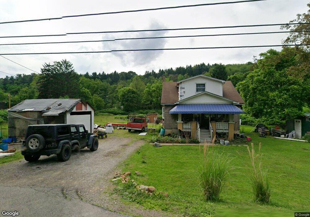
1649 Dime Rd Vandergrift, PA 15690
Estimated Value: $147,000 - $191,000
3
Beds
3
Baths
1,442
Sq Ft
$114/Sq Ft
Est. Value
About This Home
This home is located at 1649 Dime Rd, Vandergrift, PA 15690 and is currently estimated at $164,590, approximately $114 per square foot. 1649 Dime Rd is a home with nearby schools including Kiski Area High School.
Ownership History
Date
Name
Owned For
Owner Type
Purchase Details
Closed on
Jul 15, 2024
Sold by
Marlen Richard Judy and Marlen Scott
Bought by
Weimer Kelly
Current Estimated Value
Purchase Details
Closed on
Aug 17, 2016
Sold by
Baird David N and Hughes Megan
Bought by
U S Bank Na
Purchase Details
Closed on
Oct 30, 2007
Sold by
Saver Elmer L and Sarver Constance A
Bought by
Baird David N and Hughes Megan
Home Financials for this Owner
Home Financials are based on the most recent Mortgage that was taken out on this home.
Original Mortgage
$2,000
Interest Rate
6.47%
Mortgage Type
FHA
Create a Home Valuation Report for This Property
The Home Valuation Report is an in-depth analysis detailing your home's value as well as a comparison with similar homes in the area
Home Values in the Area
Average Home Value in this Area
Purchase History
| Date | Buyer | Sale Price | Title Company |
|---|---|---|---|
| Weimer Kelly | $10,000 | None Listed On Document | |
| U S Bank Na | $1,327 | None Available | |
| Baird David N | $105,000 | Pa Land Titles |
Source: Public Records
Mortgage History
| Date | Status | Borrower | Loan Amount |
|---|---|---|---|
| Previous Owner | Baird David N | $2,000 |
Source: Public Records
Tax History
| Year | Tax Paid | Tax Assessment Tax Assessment Total Assessment is a certain percentage of the fair market value that is determined by local assessors to be the total taxable value of land and additions on the property. | Land | Improvement |
|---|---|---|---|---|
| 2025 | $1,577 | $21,180 | $11,440 | $9,740 |
| 2024 | $1,457 | $21,180 | $11,440 | $9,740 |
| 2023 | $1,166 | $21,180 | $11,440 | $9,740 |
| 2022 | $1,166 | $21,180 | $11,440 | $9,740 |
| 2021 | $1,165 | $21,180 | $11,440 | $9,740 |
| 2020 | $1,180 | $21,180 | $11,440 | $9,740 |
| 2019 | $1,179 | $21,180 | $11,440 | $9,740 |
| 2018 | $1,156 | $16,338 | $2,423 | $13,915 |
| 2017 | $1,129 | $21,180 | $11,440 | $9,740 |
| 2016 | $1,097 | $21,180 | $11,440 | $9,740 |
| 2015 | $918 | $21,180 | $11,440 | $9,740 |
| 2014 | $918 | $21,180 | $11,440 | $9,740 |
Source: Public Records
Map
Nearby Homes
- 1212 Gravel Bar Rd
- 1116 Grant St
- 1252 Jefferson St
- 820 Third Ave
- 817 3rd St
- 137 Sherman Ave
- 133 Sherman Ave
- 247 Sherman Ave
- 107 Sumner Ave
- 122 Hamilton Ave
- 411 Center St
- 172 Franklin Ave
- 109 Washington Ave
- 166 Grant Ave
- 219 Quay St
- 250 Kennedy Ave
- 310 Chestnut St
- 597 Market St
- 353 Madison Ave
- 0000 Sr-2060
Your Personal Tour Guide
Ask me questions while you tour the home.