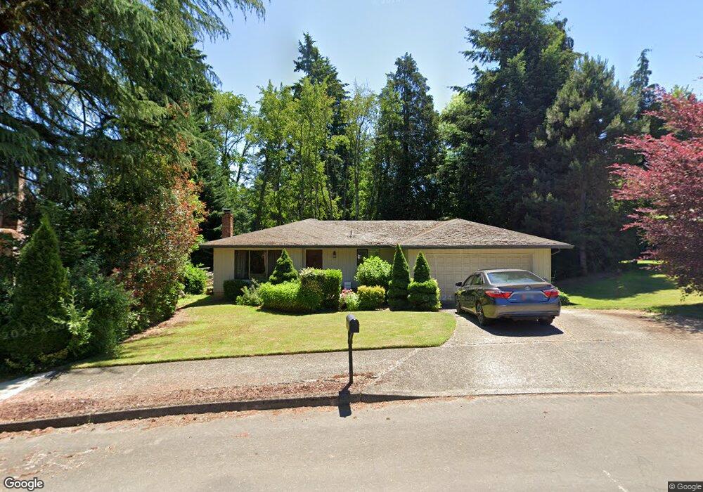
1649 Jamie Cir West Linn, OR 97068
Willamette NeighborhoodEstimated Value: $535,321 - $580,000
3
Beds
2
Baths
1,378
Sq Ft
$405/Sq Ft
Est. Value
About This Home
This home is located at 1649 Jamie Cir, West Linn, OR 97068 and is currently estimated at $558,580, approximately $405 per square foot. 1649 Jamie Cir is a home located in Clackamas County with nearby schools including Willamette Primary School, Athey Creek Middle School, and West Linn High School.
Ownership History
Date
Name
Owned For
Owner Type
Purchase Details
Closed on
Jun 12, 2014
Sold by
Palmer Robert C and Palmer Tina
Bought by
Tietz Tyler W
Current Estimated Value
Home Financials for this Owner
Home Financials are based on the most recent Mortgage that was taken out on this home.
Original Mortgage
$265,375
Outstanding Balance
$198,710
Interest Rate
3.87%
Mortgage Type
FHA
Estimated Equity
$359,870
Purchase Details
Closed on
Aug 29, 2011
Sold by
Terrano Dennis F and Terrano Catherine M
Bought by
Palmer Robert C and Palmer Tina
Home Financials for this Owner
Home Financials are based on the most recent Mortgage that was taken out on this home.
Original Mortgage
$202,239
Interest Rate
4.25%
Mortgage Type
FHA
Create a Home Valuation Report for This Property
The Home Valuation Report is an in-depth analysis detailing your home's value as well as a comparison with similar homes in the area
Home Values in the Area
Average Home Value in this Area
Purchase History
| Date | Buyer | Sale Price | Title Company |
|---|---|---|---|
| Tietz Tyler W | $275,000 | Fidelity National Title Co | |
| Palmer Robert C | $207,500 | Pacific Northwest Title Of O |
Source: Public Records
Mortgage History
| Date | Status | Borrower | Loan Amount |
|---|---|---|---|
| Open | Tietz Tyler W | $265,375 | |
| Previous Owner | Palmer Robert C | $202,239 |
Source: Public Records
Tax History Compared to Growth
Tax History
| Year | Tax Paid | Tax Assessment Tax Assessment Total Assessment is a certain percentage of the fair market value that is determined by local assessors to be the total taxable value of land and additions on the property. | Land | Improvement |
|---|---|---|---|---|
| 2025 | $4,940 | $256,349 | -- | -- |
| 2024 | $4,755 | $248,883 | -- | -- |
| 2023 | $4,755 | $241,634 | $0 | $0 |
| 2022 | $4,488 | $234,597 | $0 | $0 |
| 2021 | $4,261 | $227,765 | $0 | $0 |
| 2020 | $4,290 | $221,132 | $0 | $0 |
| 2019 | $4,091 | $214,692 | $0 | $0 |
| 2018 | $3,908 | $208,439 | $0 | $0 |
| 2017 | $3,756 | $202,368 | $0 | $0 |
| 2016 | $3,659 | $196,474 | $0 | $0 |
| 2015 | $3,426 | $190,751 | $0 | $0 |
| 2014 | $3,261 | $185,195 | $0 | $0 |
Source: Public Records
Map
Nearby Homes
- 1733 Jamie Cir
- 1931 13th St
- 1721 Dollar St Unit 1721
- 1925 Hillhouse Dr
- 2026 Virginia Ln
- 1791 Blankenship Rd
- 1694 16th St
- 1690 16th St
- 975 Springtree Ln
- 2077 5th Ave
- 850 Springtree Ln Unit 850
- 880 Springtree Ln Unit 880
- 800 Springtree Ln
- 4630 Summerlinn Way
- 4650 Summerlinn Way
- 1315 11th St
- 640 Springtree Ln
- 1296 13th St
- 3850 Summerlinn Dr Unit 58
- 3565 Summerlinn Dr Unit 64
- 1665 Jamie Cir
- 1720 Timothy Ln
- 1635 Jamie Cir
- 1710 Timothy Ln
- 1730 Timothy Ln
- 1644 Jamie Cir
- 1796 Jamie Cir
- 1629 Jamie Cir
- 1680 Timothy Ln
- 2008 13th St
- 1721 Timothy Ln
- 1785 Jamie Cir
- 1785 Jamie Cr
- 1740 Timothy Ln
- 1711 Timothy Ln
- 1792 Jamie Cir
- 1731 Timothy Ln
- 1753 Jamie Cir
- 1788 Jamie Cir
- 1730 Christy Ct